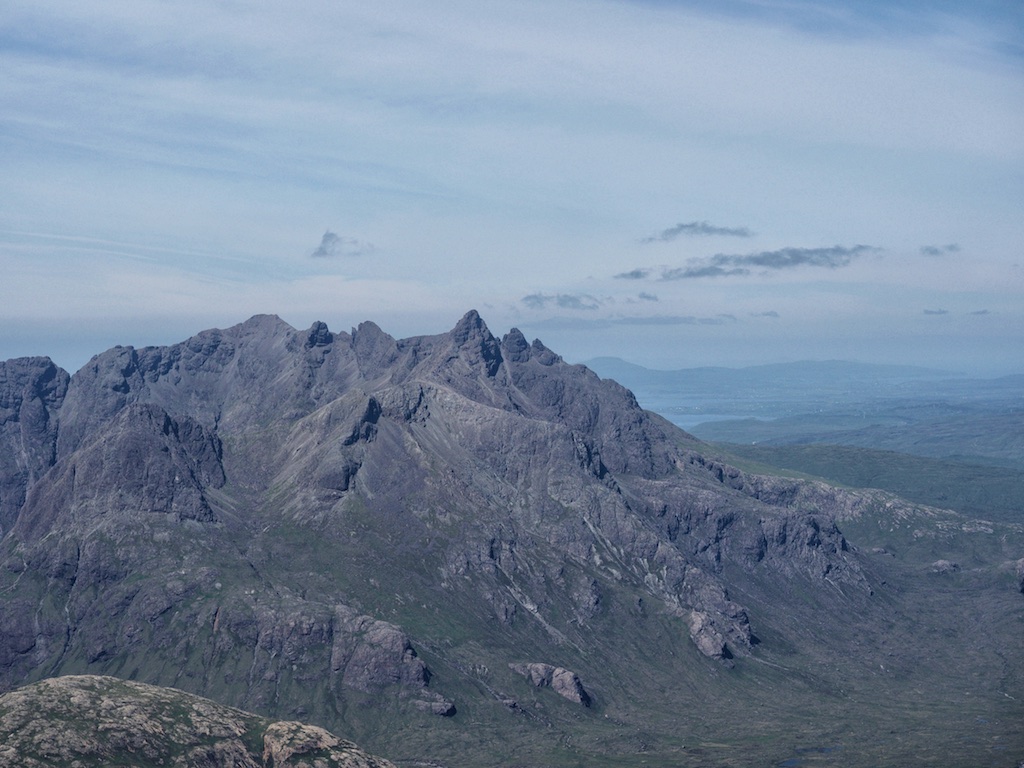
Ben More Assynt
Ben More Assynt and Coigach are really special mountains and the highest in the wild country of Assynt. I already tried to tackle them in 1992, but due to severe weather conditions – heavy winds and very poor visibility – i did not suceed. So this time, it was 1995, i was eager – maybe to eager – not to fail again. Birgit was with me, as in 1992, and maybe my eagerness was making her too quiet. “Nothing’s gonna stop me”. Yeah, you bet it does.
The Inchnadamph approach is really nice, the climbing steep, but nothing too difficult. Except the fact, that i chose the ascent through a very steep chimney and snowy showers on the ridge, business as usual. The walking though over quartzite stones and scree was hard. But we reached Conival in time and continued to Ben More Assynt. We descended east along a stony ridge and soon arrived at the flat summit. Since i intended to do the traverse over to Carn nan Conbhairean we stayed on the ridge.
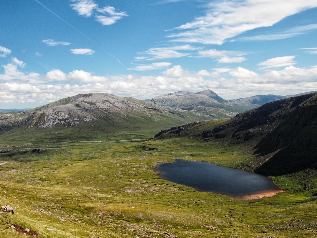
And here the troubles began. While we had views of Dubh Loch Beag in the beginning, it was now completely out of sight. Due to this poor visibility, poor navigational skills of myself and lack of a compass we descended the wrong ridge. But i was too selfish and unexperienced to admit that i had choosen wrong. It was late in the afternoon, we had just a half litre of water and litte food left and i was not able to locate our position on the map. We started to panic a little, we hugged ourself and thought about our situation. We decided to follow the waterstreams down to the river in the distance and follow that river … there were signs of hilltracks, too. Finally we arrived at the river, followed the stream and decided to cross it. Luckily it was not in spate but none the less difficult to cross, it was quite wide (30m) and there were few stepping stones. But we accomplished … [Read More]