M87 |
1046 m. |
3432 ft.
Translation: Stack of the high part
Pronuncation: kroo-ach ar-dran
Frank and I picked up Alex in Crianlarich where he had come to from Glasgow in the morning. We began the climb of Cruach Ardrain from the car park of the Forrestry Commission above the A 85. Using the forrest roads we reached the foot of the north-west ridge of the mountain, climbed up a clearing created by tree-harvesting and soon gained the top of the Grey Height. Continuing over the knobby ridge with several ups and downs we progressed to the foot of the final ascent to the summit ridge of Cruach Ardrain. Climbing steeply up the western side of the hill we reached the top and pondered the idea of including Beinn Tulaichean in the walk. But we decided against that idea and climbed the last few metres to Cruach Ardrain’s cairn. After a short break and after having taken in the views of Ben More and Stob Binnein we descended the very steep path to the col between Cruach Ardrain and Stob Garbh. The continuation over the mostly grassy north-east ridge was easy. Above the forrest we contoured around the western side of the ridge avoiding its steep and craggy final section. Through firebreaks we reached the forrest road below, crossed it and soon afterwards also crossed the Allt Coire Ardrain. From there we navigated through the forrest and reached the car park five minutes before the rain set in. Perfect timing. Good we did not bag Beinn Tulaichean. A beautiful ridge walk.
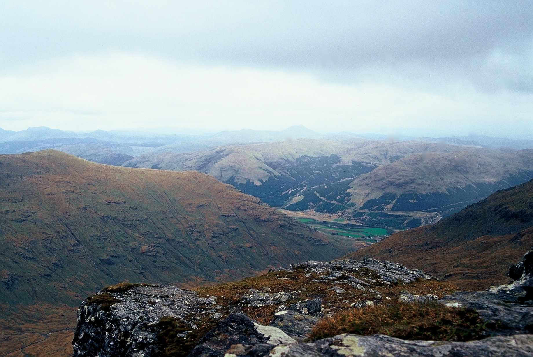
Description Cruach Ardrain is one of the best known of the mountains that encircle the village of Crianlarich. It has a fine pointed outline, enhanced in winter and spring when snow fills the steep Y-Gully on its north face above Coire Ardrain. In plan the mountain is rather like the letter Y, with ridges radiating from the summit north-west, north-east and south.The north-west ridge provides the usual route of ascent. Recent tree-felling has made the original start, from Crianlarich Village, very muddy. Instead, start at the car park in Glen Falloch at map ref 369239. From there go south-east up the track on the south-west bank of the River Falloch for just over 1 kilometre, then go down to the river, cross a bridge and climb east up easy grassy slopes to reach the north-west ridge at the upper edge of the trees where the traditional route is joined at the ridge below Grey Height. Continue along the ridge over Meall Dhamh, down to a col and up the north-west shoulder of Cruach Ardrain to the summit.Instead of returning by the same route, the traverse can be continued by descending north-east to a col leading to Stob Garbh (959m). Continue north along the ridge for about