M214 |
951 m. |
3120 ft.
Translation: Hhill of the quaich
Pronuncation: myowl chooeech
The first day of the 2013 hillwalking season saw us driving from Edinburgh to Aviemore. We had decided to bag Meall Chuaich en route. So a few hours after having disembarked the plane in Edinburgh we parked our car at the roadside on the A9 close to Cuaich Farm.
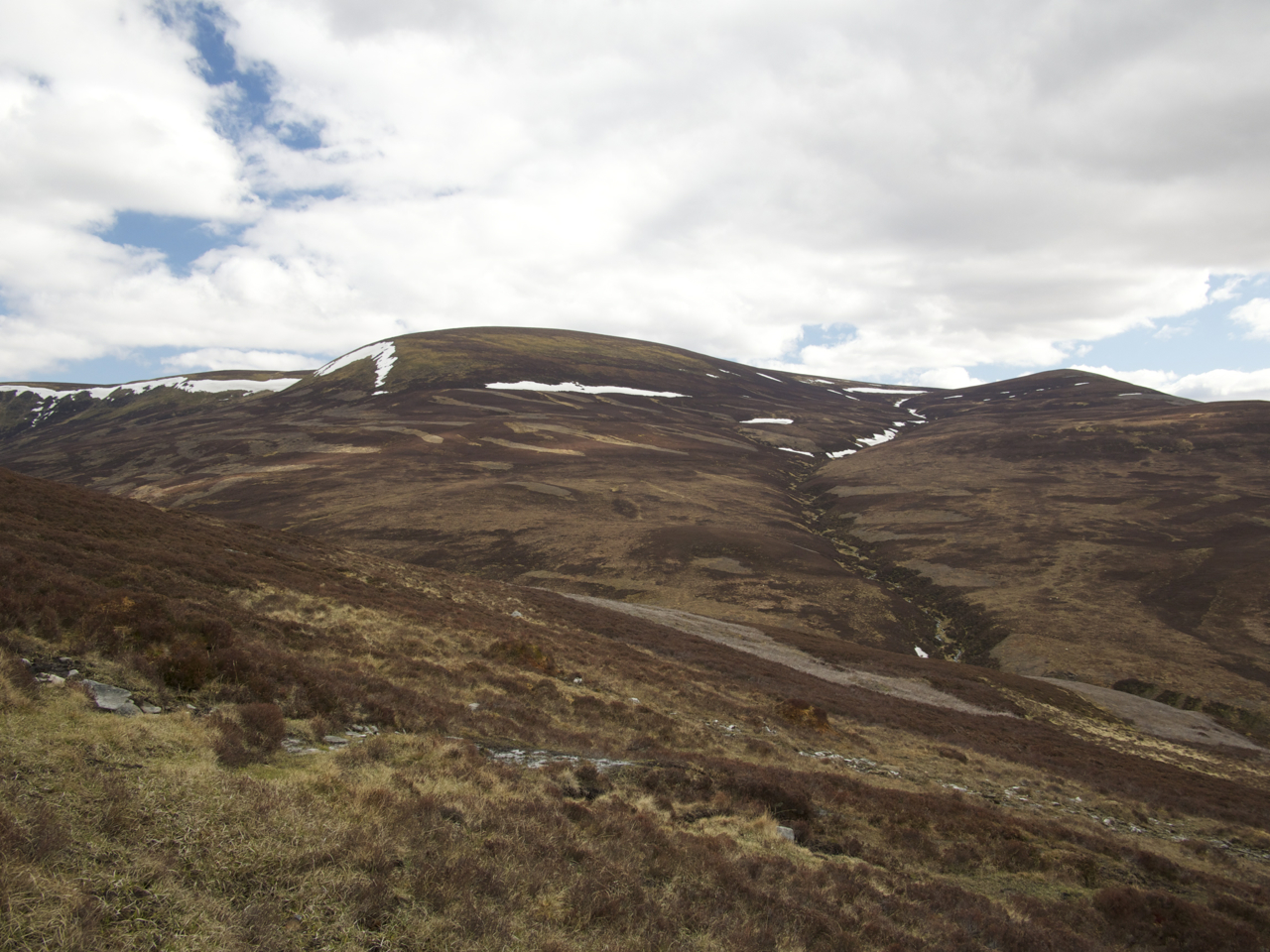
Frank and I unpacked our suitcases and packed our rucksacks for an easy afternoon hike. From the parking we walked a Landrover track towards the aqueduct. Once on the track beside the concrete trough of the aqueduct we turned due east towards the hill of the day. Two kilometres onwards we reached the small dam at the hydroelectricity building. We continued along the Landrover track beside the Allt Cuaich. A few hundred metres before getting to Loch Cuaich we veered right into the glen of the Allt Coire Chuaich. Soon the west ridge of Meall Chuaich was reached and we climbed the well-defined path up this whaleback ridge of the hill. Some slightly boggy sections at the foot of the ridge were soon left behind. The climb was quite regular and the slope was more or less uniform, grass giving way to more rocky sections. Then the slope levelled off and we reached the summit plateau of Meall Chuaich.
A few minutes on we touched the cairn of the Munro. The weather being fine the views in all directions were very good. We basked in the sunshine and had a few sips of water. Soon, however, we had to retrace our steps towards the A9 since the afternoon was drawing to a close. After barely three and a half hours we were back at our car and drove towards Aviemore our resting place for the night.
Meall Chuaich proved to be the gentle hill expected. This afternoon bathed in bright sunshine was a very good start to the 2013 campaign. This was the last Drumochter Munro still missing in my list and it was Frank’s penultimate one. A very easy start and an extraordinarily accessible hill gained on a pleasant spring afternoon. Good stuff!
Description This isolated hill is about 10 kilometres north-east of Dalwhinnie, rising between the upper reaches of the rivers Truim and Tromie. Seen from most directions it is a rounded hill, dropping quite steeply on its west to Loch Cuaich, but extending north-eastwards in a long broad ridge over Carn Thomais towards Glen Tromie. The approach to Meall Chuaich from Glen Tromie is very long, so the ascent is almost always made from the A9 road at Cuaich cottages.Walk along the private road beside the aqueduct which takes water from the small Cuaich power station to Loch Ericht. Continue past the power station to the Allt Coire Chuaich bothy, cross the burn and a short distance further leave the track and climb north-east up the broad rounded ridge of Meall Chuaich. At a level shoulder the ridge turns east and leads directly to the summit. The descent route may be varied by going north-west steeply down to the head of Loch Cuaich where another track is reached.