M278 |
917 m. |
3009 ft.
Translation: Hill of age
Pronuncation: kaarn oesh
Since Cord took this well earned day off i used the opportunity to fill in this Munro which i had not ticked yet (Cord bagged it in 2002 together with Mike). So he dropped me off at the car park at Balsporran Cottage and headed off to Aviemore to do some shopping of forgotten items. That was not a nice surrounding at all. In front of me a scarmarked bump. Behind me the A9 with it’s traffic and the new pylons. So i stormed over the rails and instantly chose the wrong track up the hill. After a short crossing i reached the right track and now it was a straightforward ascent to the 3009ft hill. I thought there was no other accuse than just it’s height and the Munro status. But i was proven wrong since the views from the west side of the summit were really nice towards Ben Alder and down the long stretched Loch Ericht. I contemplated the track along the shore which we had cycled 4 times over the weekend – my legs still arching from that memory (and certainly Cords too). The weather was not too bad. I took my 10 minutes to eat, stroll around and take pictures before i hurried down. Some 15 minutes from the A9 away i saw how Cord entered the car park. Just in time for dropping my rucksack in and drive to our cottage for getting a nice warm meal. A first in over 20 years munrobagging. And then off to Carn Liath.
2002 Parking by the A9 two or three kilometres north of the Pass of Drumochter we crossed the railway at the Balsporran B&B heading for the north-east ridge of Geal-charn. All the glens were filled with morning fog and clouds. Even though there had been a few very dry days before the walk the ground on the track up the ridge was quite boggy torn open by some caterpillar vehicle. Needless to say that the going was unpleasant in such conditions. At about 650 m we climbed above the clouds and the mountain scenery stretched out before us. Geal-charn, A’Mharconaich and the Boar of Badenoch. We reached the summit cairn of Geal-charn and walked on to the second cairn from which a great view along Loch Ericht and over Ben Alder and the Loch Laggan Munros opened up before us. From there the going to the col at the head of Coire Fhar was easy and agreeable. From the col we climbed medium steep gras slopes until we reached the ridge of A’Mharconaich which we followed another kilometre in a north-easterly direction. We took a break looking out to Beinn Udlamain, Sgairneach Mhor and the Sow of Atholl. Another easy walk including two munros on the other side of the Pass of Drummochter along the undulating plateau was visible in its entirety. We continued our walk down the north-east ridge of A’Mharconaich. At about 550 m we dropped into Coire Fhar, crossed the Allt Coire Fhar and regained the path on the north side of the burn. Soon we left the corrie, crossed the railway, the river and arrived at our car. A short and enjoyable end point to the 2002 walking holiday in Scotland.
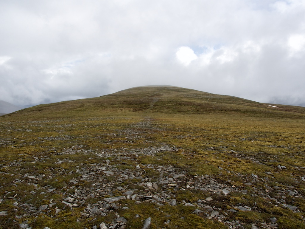
Description These two hills form the northern half of the Drumochter range on the west side of the A9 road. Geal-charn is a rounded and unremarkable hill which used to have some tall cairns near its summit which were visible from the road, but when they were knocked down a landmark was lost. A'Mharconaich is a much more impressive hill with a fine north-east corrie directly under its summit and two ridges jutting out towards the Pass of Drumochter, the southern one ending at a steep little hill called the Boar of Badenoch. To the south-west of its summit, a long level ridge goes towards Beinn Udlamain.The traverse of these two hills is a very short walk from Balsporran Cottages, where there is a large carpark. Follow the path on the west side of the railway for a few hundred metres and then go up the broad north-east ridge of Geal-charn, which becomes very stony near the summit. Descend the south ridge to a wide col and climb grassy slopes south then south-east to the level summit of A'Mharconaich, whose cairn is at the north-east end of the ridge. Descend north then north-east down a long ridge. The rough heathery ground at its foot may be avoided by crossing the Allt Coire Fhar to reach the path on its left bank.