Am Bodach
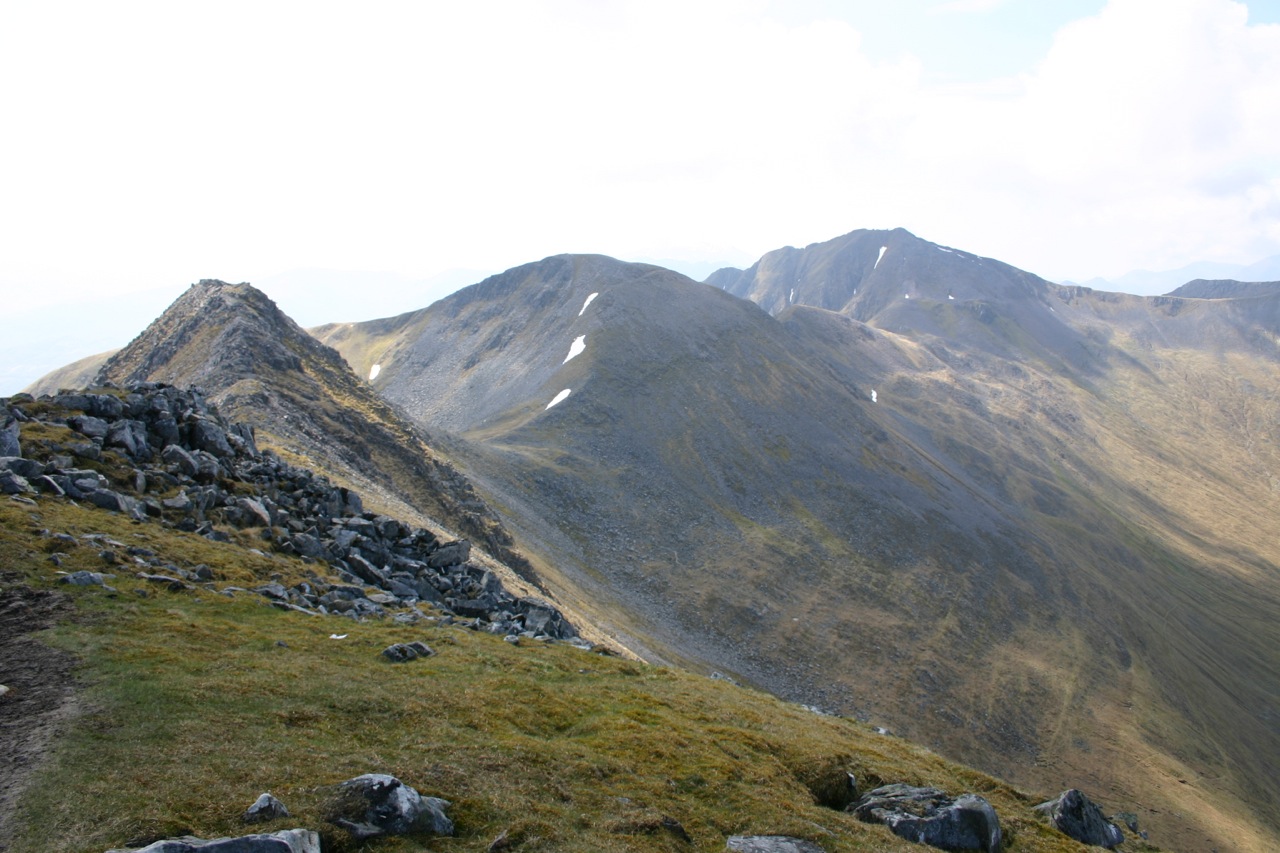
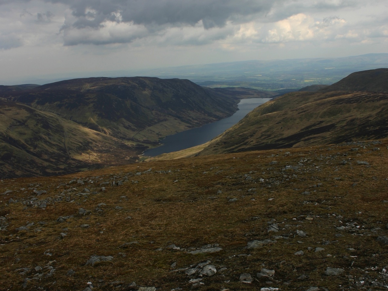
2004 On a sunny morning, half past nine, Frank and I reached the end of the road in Glen Nevis and parked our car. Putting on our gear we looked around, glimpsed views of the surrounding summits through the lifting clouds and finally started the tour, heading into Glen Nevis. We crossed the river by means of the wire bridge, then crossed the Allt Coire a’Mhail below the Steall Waterfall and picked up the path leading into the northern corrie of An Gearanach. This path heads up into the corrie over terrain characterized by gravel, grass and slabs. Higher up in the corrie it zigzags until after one final right turn the ridge is reached leading steeply onwards to An Gearanach. Here the view opened up.
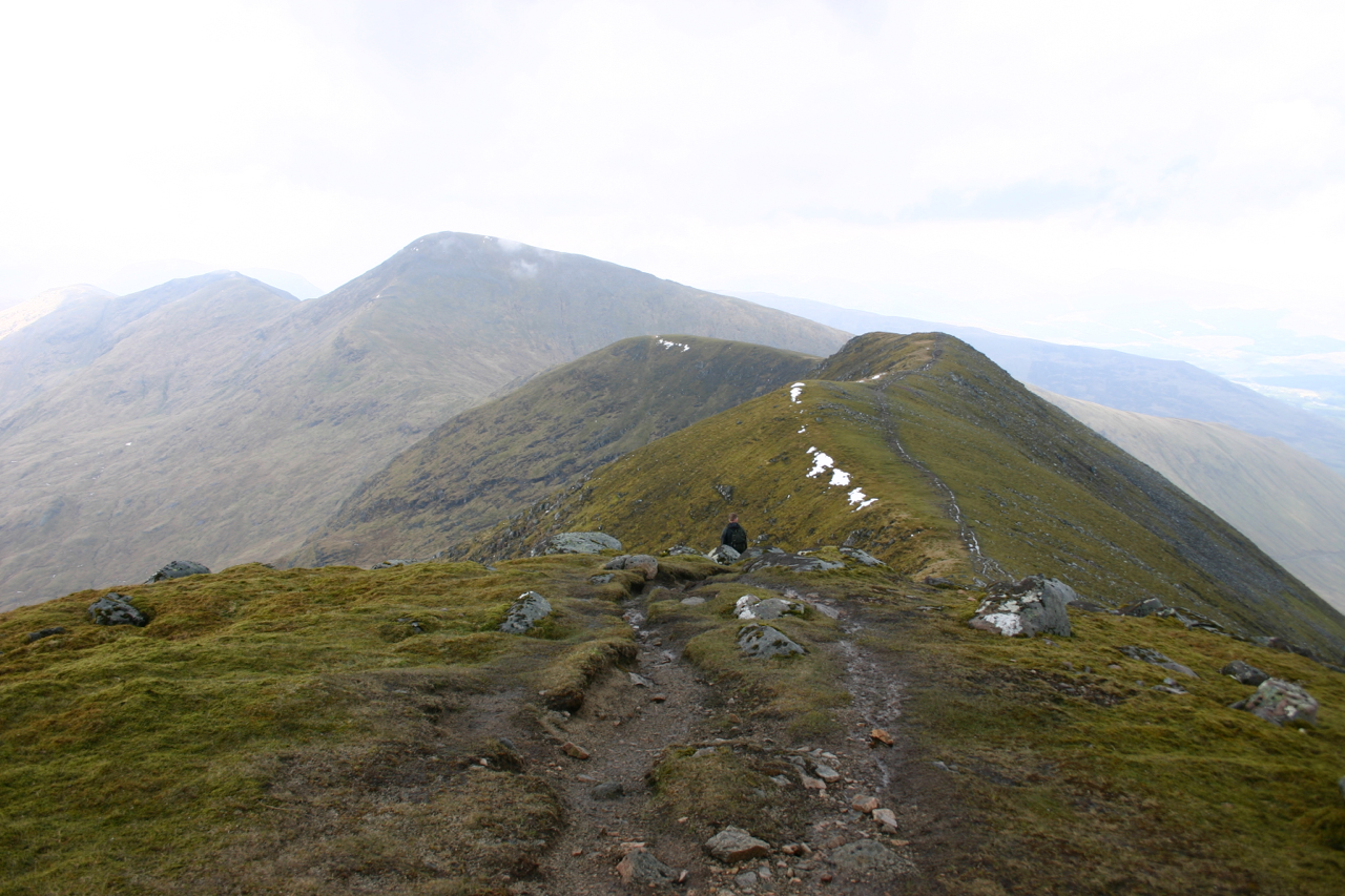
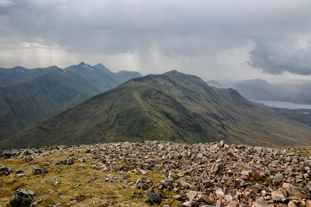
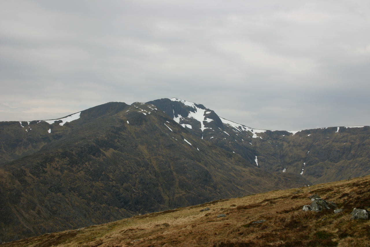
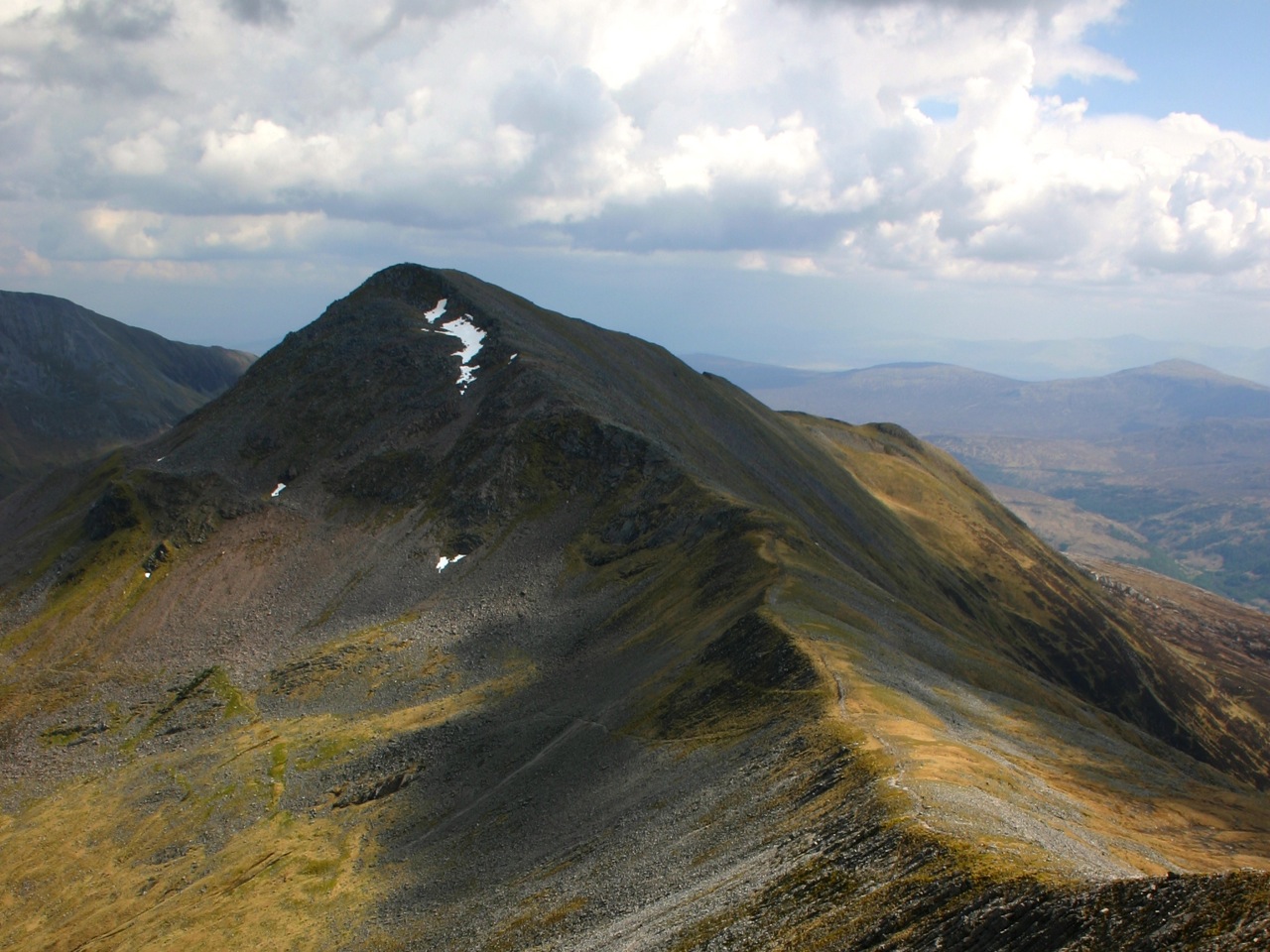
The weather conditions being as they were the Ring of Steall, Ben Nevis, Carn Mor Dearg, the Aonachs and the southern flank of the Grey Corries sprang into full view. Alas, the summit had to be gained and so we continued up the last 300m to the summit of An Gearanach. A snack replenished exhausted reserves of carbohydrates and then we headed on to An Garbanach. This section of the ring provided most of the fun as scrambling goes and was far more interesting than the Devil’s ridge. All too soon we reached the more spacious summit of Stob Coire a’Chairn from where our eyes explored the eastern part of the Mamores with Binnein Mor and Na Gruagaichean standing out as the major attractions. And on we went over some bump in the ridge before we had to tackle the north-east ridge of Am Bodach which is really quite steep, rocky and has some sections strewn with scree. But steep terrain allows quick gain of height and in no time at all we banged into the summit of this third Munro of the day. No real rest here.
On the way to Sgur an Iubhair we met a dozen elderly hikers who were doing the ring in the opposite direction and who … [Read More]