Creag Pitridh
Labour Day 2005. Instead of attending a traditional union rally in one of Europe’s major cities like Mechernich, Saarbrücken, Nottingham or Berlin we had set our minds on a group of hills where workers’ rights and work conditions – important as they are – would be of less importance than rights of way and weather conditions.
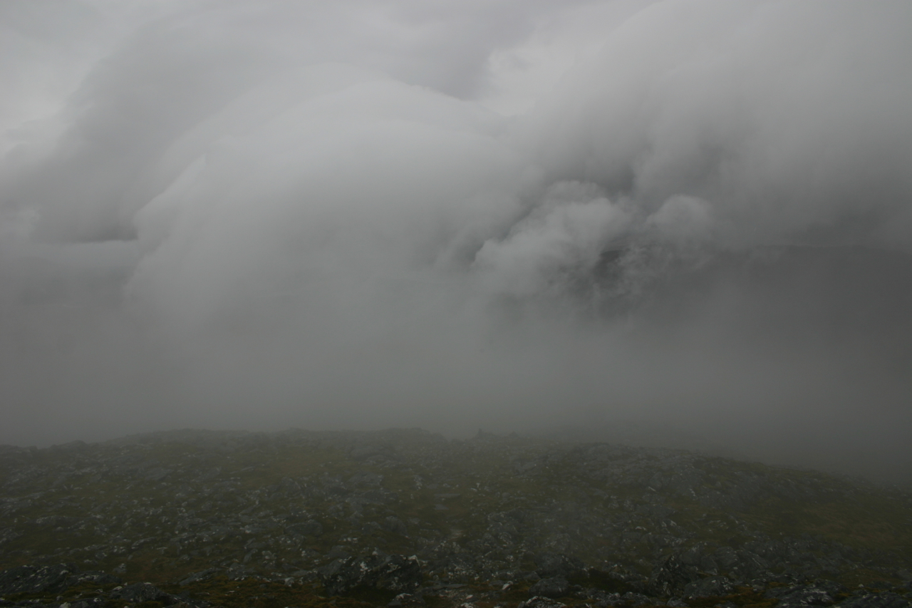
From Luiblea on the Spean Bridge to Newtonmore road we started our hill-walk on a Sunday morning. The weather looked like there would be some rain and sleet on the hills. Twenty minutes into the walk we put on our raingear. It was to be put to good use, indeed, this day. After a little less than one hour of walking on a landrover track we reached Lochan na Earba whence we continued up a good stalkers path which contours around the foot of Sgurr an t-Saighdeir, which basically is some big crags on the lower slopes of Creag Pitridh. Steadily we climbed this path beside the Allt Coire Pitridh. Visibility became rather bad when we entered the cloud cover, the basis of which hung at around 600m.
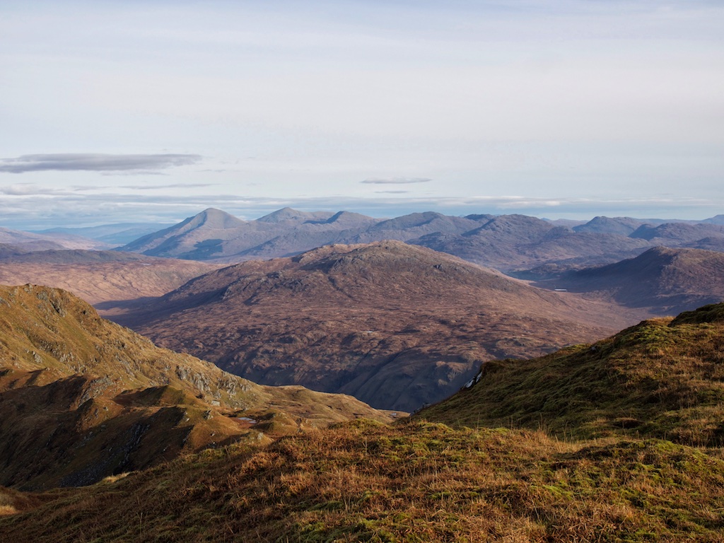
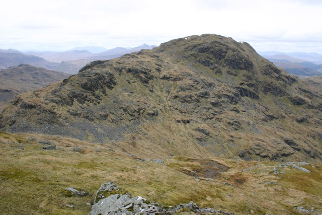
After about 2 hours we reached the col between Geal Charn and Beinn a’Chlachair. There we turned left on a path which – as our map said – leads to the col between Creag Pitridh and Geal Charn. We got to this second col after fifteen minutes of walking. Here the cloud cover broke for the first time and we were lucky enough to get a few glimpses of the steep path up Creag Pitridh and the crags below its summit. After a short break used to refill our batteries with sandwiches, biscuits and tea we followed the path up the south-westerly face of the first Munro of the day.
At the summit the wind was blowing really hard. We met a pair of walkers up there and these two ladies gave us some directions for the continuation to Geal Charn from where they had just come. We retraced our steps to the col below Geal … [Read More]