Creag Leacach

One day after the fine tour of Beinn a’Ghlo Frank and me had set our sights on something shorter. Glas Maol and Creag Leacach are easy Munros as both can be climbed from the Cairnwell pass. We had driven up to the pass by Glen Shee and reached the parking opposite the Cairnwell at eleven o’clock in the morning. The weather was acceptable: Wind, a little rain and sleet on the higher ground.

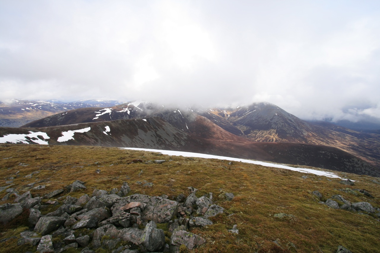
We used the landrover track that gives access to the café and ski tows on Meall Odhar’sslopes. Soon we reached the flat summit of this hill. The route ahead was obvious and we saw other hikers ahead of us who climbed the steep flank of Glas Maol. Via the flat stretch of the connecting ridge we soon reached the foot of this steep section and then climbed up the path to the level summit plateau of Glas Mol. A heavy snow shower and gusty wind greeted us at the summit cairn of this first Munro of the day. Frank put on his waterproof trousers and I wanted to follow his example only to realize that mine were in the car. Ok, nevermind. Wet trousers in driving wind are not too bad as long as you keep moving!

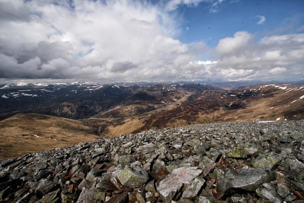
So very soon we turned south west and trodded towards the ridge that connects the two hills and which forms a nice sweeping arc. After half an hour of strolling along the broad ridge the terrain became more defined until finally leading to the nice sharpish summit of Creag Leacach. There we sat in the sunshine, ate our provisions, drank some tea and I felt my trousers slowly drying in the wind. With the showers having subsided and the sun creating illuminative effects on the hillsides the day became more and more pleasant. We then left the summit and headed back to Meall Odhar. Instead of getting there via the summit of Glas Maol we decided to use the path that skirts the western flank of the hill. There were … [Read More]

2021-11-28T11:19:56+01:00May 2nd, 2008|2008, 2009 - 2000, Glen Shee to Mount Keen|

Carn nan Gabhar

The first hike of the 2008 holiday saw Frank and me parking our rented car at the end of the public road at Loch Moraig. The weather was not all that promising but that did not put us off the task ahead. One of the great hills of the Central Highlands. Ok, we hiked up the track which leads out onto the open moor to the two ruined shacks where the path up the southwest ridge of Carn Liath commences. We climbed the path which is very well visible even in bad weather. Someone should perhaps consider spending some money on repairing this scar.

In line with the steepness of the terrain we gained height quickly and reached the summit of Carn Liath in due time. From the summit we continued due north. Then the clouds lifted and we could see the way ahead. A great view. The continuing ridge over Beinn Mhaol snaked in front of us. Braigh Coire Chruinn-bhalgian was visible as was Argoid Bheinn. Complex ridges, wide views, snow, grass and scree. We continued our walk to Bheinn Mhaol. Rain set in, the clouds closed in on us and soon it was a typical Scottish day on the hills. We reached the col between Bheinn Mhaol and Braigh Coire Chruinn-bhalgian and started the climb up the west ridge of the latter hill. The path veered to the north, we followed the corniced corrie rim to the right of us and bumped into the summit cairn. Frank and I touched it and went on.

After a few hundred metres we found the steep snow-covered descent to the col between Braigh Coire Chruinn-bhalgian and Argoid Bheinn. From the col we climbed the flank of the hill and veered north. Touching one or two further cairns on our way to the summit we finally made it to Carn an Gobhar. There the obligatory break for some water, sweets and photographs was called. The views were very nice from the summit of the highest Munro of the group of hills. But, … [Read More]

2017-09-19T14:17:49+02:00May 1st, 2008|2008, 2009 - 2000, Glen Garry to Braemar|

Braigh Coire Chruinn-bhalgain

The first hike of the 2008 holiday saw Frank and me parking our rented car at the end of the public road at Loch Moraig. The weather was not all that promising but that did not put us off the task ahead. One of the great hills of the Central Highlands. Ok, we hiked up the track which leads out onto the open moor to the two ruined shacks where the path up the southwest ridge of Carn Liath commences.

We climbed the path which is very well visible even in bad weather. Someone should perhaps consider spending some money on repairing this scar. In line with the steepness of the terrain we gained height quickly and reached the summit of Carn Liath in due time. From the summit we continued due north. Then the clouds lifted and we could see the way ahead. A great view. The continuing ridge over Beinn Mhaol snaked in front of us. Braigh Coire Chruinn-bhalgian was visible as was Argoid Bheinn. Complex ridges, wide views, snow, grass and scree. We continued our walk to Bheinn Mhaol.

Rain set in, the clouds closed in on us and soon it was a typical Scottish day on the hills. We reached the col between Bheinn Mhaol and Braigh Coire Chruinn-bhalgian and started the climb up the west ridge of the latter hill. The path veered to the north, we followed the corniced corrie rim to the right of us and bumped into the summit cairn. Frank and I touched it and went on. After a few hundred metres we found the steep snow-covered descent to the col between Braigh Coire Chruinn-bhalgian and Argoid Bheinn. From the col we climbed the flank of the hill and veered north. Touching one or two further cairns on our way to the summit we finally made it to Carn an Gobhar. There the obligatory break for some water, sweets and photographs was called. The views were very nice from the summit of the highest Munro of the group of hills. But, … [Read More]

2017-09-19T14:17:49+02:00May 1st, 2008|2008, 2009 - 2000, Glen Garry to Braemar|

Carn Liath

The first hike of the 2008 holiday saw Frank and me parking our rented car at the end of the public road at Loch Moraig. The weather was not all that promising but that did not put us off the task ahead. One of the great hills of the Central Highlands. Ok, we hiked up the track which leads out onto the open moor to the two ruined shacks where the path up the southwest ridge of Carn Liath commences.

We climbed the path which is very well visible even in bad weather. Someone should perhaps consider spending some money on repairing this scar. In line with the steepness of the terrain we gained height quickly and reached the summit of Carn Liath in due time. From the summit we continued due north. Then the clouds lifted and we could see the way ahead. A great view. The continuing ridge over Beinn Mhaol snaked in front of us. Braigh Coire Chruinn-bhalgian was visible as was Argoid Bheinn. Complex ridges, wide views, snow, grass and scree.

We continued our walk to Bheinn Mhaol. Rain set in, the clouds closed in on us and soon it was a typical Scottish day on the hills. We reached the col between Bheinn Mhaol and Braigh Coire Chruinn-bhalgian and started the climb up the west ridge of the latter hill. The path veered to the north, we followed the corniced corrie rim to the right of us and bumped into the summit cairn. Frank and I touched it and went on. After a few hundred metres we found the steep snow-covered descent to the col between Braigh Coire Chruinn-bhalgian and Argoid Bheinn. From the col we climbed the flank of the hill and veered north. Touching one or two further cairns on our way to the summit we finally made it to Carn an Gobhar. There the obligatory break for some water, sweets and photographs was called. The views were very nice from the summit of the highest Munro of the group of hills. But, it was … [Read More]

2018-11-17T06:29:40+01:00May 1st, 2008|2008, 2009 - 2000, Glen Garry to Braemar|

Ben Macdui

2008 How to find better ways to a summit or This time from south.

Mike and I had climbed Ben Macdui via Cairn Gorm in September 2002 on a very hot day in late summer. The approach over the plateau by way of Corrie Cas, Ptarmigain Restaurant and Stob Coire an Lochain had been a mixed bag of not so scenic tourist installations and of beautiful landscape before we reached the summit. In 2008, the approach from Deeside proved to be much more satisfying. Starting at the Linn of Dee we cycled up the easy landrover track by the Lui Water to Derry Lodge where we left the bycicles. We crossed the Derry Burn and walked into the old forrest in Glen Derry with its enchanting atmosphere.

The path was well engineered so we slowly but steadily gained some height. Near the northern end of the forrest we saw a big capercaille in a tree. As soon as the animal spotted us it flew down the glen. Great bird and a big one at that! We recrossed the Derry Burn, continued up the wide and flat glen, took in the views of Derry Cairngom to the left and finally reached the fork in the path where we turned left and headed up Corrie Etchachan. A few minutes before reaching the Hutchinson Memorial Hut we took a break and basked in some sunshine while resting on a rock. Then the hut came into view. This bothy is very nicely situated in the corrie bowl. The corrie has a rather alpine feel about it with a lot of loose scree, rocky walls and only little vegetation. A very quiet and contemplative place and a great location to build a hut. The next 250 metres in height were quite steep but that was just as good as very soon we reached Loch Etchachan, which was frozen over, of course, as described in many a book. It is difficult to do the beauty of the place justice using words so I won’t try. … [Read More]

2017-09-19T14:18:52+02:00September 1st, 2002|2002, 2008, 2009 - 2000, The Cairngorms|

The Cairnwell

2008 This was the only day in the May 2008 “campaign” where we took a break – sort of at least. I had driven Alex to Aberdeen Airport early in the day and had returned to Braemar in mid morning. We drank some coffee, sat in the sunshine and dozed a bit. Then Frank proposed to do the three Glen Shee Ski Centre Munros. Well, I had done them before in late winter a few years before but of course Frank still needed these three.

So at one p.m. we set off from the car park below Bucharts Corrie and headed up the track in the corrie until another scar in the hillside branches off and heads to the ridge of Carn Aosda. We reached the summit, looked at Glas Maol on the other side of the glen and soon headed for the connecting ridge leading to Carn a’Gheoidh four kilometres to the west. The waters of Loch Vratachan (nice name) reflected the sunshine. A good day for very easy hillwalking. We rested on the ridge close to Carn nan Sac and then continued towards the summit of Munro No. 2, the only one of the group not disfigured by ski tows and bulldozer tracks. Then we returned and went back almost to the col between Carn Aosda and The Cairnwell. Shortly before rehing the col we used traces of paths on the western side of the north ridge of the latter to gain the increasingly rocky crest of the ridge (track). After the final steep section we reached the summit of Munro No. 3.

What can you say? We touched the summit cairn, stayed a few minutes and walked back to the car park via the grass in Bucharts Corrie sticking to the line of poles supporting the ski tows. After a little more than three hours we were back at the restaurant’s parking and sat in the grass by the road. Hardly any other hikers on the hills, sunshine, no hassle, no traffic jam, good views. Not too … [Read More]

2017-09-19T14:18:52+02:00March 1st, 2001|2001, 2008, 2009 - 2000, Glen Garry to Braemar|

Carn a’Gheoidh

2008 This was the only day in the May 2008 “campaign” where we took a break – sort of at least. I had driven Alex to Aberdeen Airport early in the day and had returned to Braemar in mid morning. We drank some coffee, sat in the sunshine and dozed a bit. Then Frank proposed to do the three Glen Shee Ski Centre Munros. Well, I had done them before in late winter a few years before but of course Frank still needed these three.

So at one p.m. we set off from the car park below Bucharts Corrie and headed up the track in the corrie until another scar in the hillside branches off and heads to the ridge of Carn Aosda. We reached the summit, looked at Glas Maol on the other side of the glen and soon headed for the connecting ridge leading to Carn a’Gheoidh four kilometres to the west. The waters of Loch Vratachan (nice name) reflected the sunshine. A good day for very easy hillwalking. We rested on the ridge close to Carn nan Sac and then continued towards the summit of Munro No. 2, the only one of the group not disfigured by ski tows and bulldozer tracks. Then we returned and went back almost to the col between Carn Aosda and The Cairnwell. Shortly before rehing the col we used traces of paths on the western side of the north ridge of the latter to gain the increasingly rocky crest of the ridge (track). After the final steep section we reached the summit of Munro No. 3. What can you say? We touched the summit cairn, stayed a few minutes and walked back to the car park via the grass in Bucharts Corrie sticking to the line of poles supporting the ski tows. After a little more than three hours we were back at the restaurant’s parking and sat in the grass by the road. Hardly any other hikers on the hills, sunshine, no hassle, no traffic jam, good views. Not too bad … [Read More]

2021-11-07T08:49:18+01:00March 1st, 2001|2001, 2008, 2009 - 2000, Glen Garry to Braemar|

Carn Aosda

2008 This was the only day in the May 2008 “campaign” where we took a break – sort of at least. I had driven Alex to Aberdeen Airport early in the day and had returned to Braemar in mid morning. We drank some coffee, sat in the sunshine and dozed a bit. Then Frank proposed to do the three Glen Shee Ski Centre Munros. Well, I had done them before in late winter a few years before but of course Frank still needed these three.

So at one p.m. we set off from the car park below Bucharts Corrie and headed up the track in the corrie until another scar in the hillside branches off and heads to the ridge of Carn Aosda. We reached the summit, looked at Glas Maol on the other side of the glen and soon headed for the connecting ridge leading to Carn a’Gheoidh four kilometres to the west. The waters of Loch Vratachan (nice name) reflected the sunshine. A good day for very easy hillwalking. We rested on the ridge close to Carn nan Sac and then continued towards the summit of Munro No. 2, the only one of the group not disfigured by ski tows and bulldozer tracks. Then we returned and went back almost to the col between Carn Aosda and The Cairnwell. Shortly before rehing the col we used traces of paths on the western side of the north ridge of the latter to gain the increasingly rocky crest of the ridge (track). After the final steep section we reached the summit of Munro No. 3. What can you say? We touched the summit cairn, stayed a few minutes and walked back to the car park via the grass in Bucharts Corrie sticking to the line of poles supporting the ski tows. After a little more than three hours we were back at the restaurant’s parking and sat in the grass by the road. Hardly any other hikers on the hills, sunshine, no hassle, no traffic jam, good views. Not too … [Read More]

2017-09-19T14:18:53+02:00March 1st, 2001|2001, 2008, 2009 - 2000, Glen Garry to Braemar|

Stob na Broige

2008 Schon seit vielen Jahren verbringen Joachim, Markus, Stefan, Thomas und ich einmal im Jahr ein verlängertes Wochenende gemeinsam zum Wandern. Nachdem wir bislang eher “flach” unterwegs waren, fiel die Wahl für 2008 auf Schottland. Schon länger wollte ich den Jungs die Schönheiten des Highlands und vor allem auch meiner Leidenschaft der Munros näherbringen. Mir war aber auch klar, dass ich hier im Gegensatz zu den bisherigen Wanderungen ausdrücklich auf Ernsthaftigkeit, Wetterbedingungen und konditionelle Bedinungen hinweisen sollte und musste. Was sich dann auch natürlich auch bewahrheiten sollte. Und da wir noch ein Bett frei hatten und nach meiner Ansicht Cord auch gut zu den Jungs passen würden, gewährten wir ihm auch Asyl für die 4 Tage in Schottland.

Nachdem wir am Vortrag von Köln nach Edinburg geflogen waren, Cord traf in Köln aus Berlin kommend ein, folgte zunächst die Fahrt nach Kinlochleven. In Callander kauften wir Lebensmittel und Getränke ein und fuhren dann durchs Rannoch Mor mit obligatoricher Fotopause. Das Wetter war frisch aber angenehm. Als wir uns Glen Coe näherten, majästetisch bewacht durch den großen Hirten, rief mein Hinweis “da gehen wir morgen rauf” eher ungläubiges Kopfschütteln hervor. Im Glen Coe selbst legten wir eine erneute Fotopause ein. Danach ging es straigt nach Kinlochleven, um das schön gelegene Garbh Bhein Cottage, dass tolle Blicke auf die Mamores bietet, zu beziehen. Bierchen, Feuer und Abendessen waren der gelungene Schlusspunkt zum Ankunftstag.

Am nächsten Morgen zeigte sich, dass mein Hinweis auf die schottischen Wetterbedingungen und die eindringliche Aufforderungen, regensichere Kleidung mitzunehmen nicht umsonst gewesen waren. Es regenete stark, die Sicht war erheblich eingeschränkt und die Motivation war deutlich gesunken. Hier zeigte sich, dass es von Vorteil ist, Motivationskünstler und Regenignoranten dabei zu haben. Um 10 Uhr standen wir dann – zwar noch etwas unsicher, aber immerhin voll eingekleidet und ausgerüstet – auf dem Parkplatz bei Altnafeadh und starteten, dem Regen trotzend!

Der steile Aufstieg durch das Coire na Tulaich nahm auch gleich die ganze Konzentration in Anspruch, dass wir uns erst sehr spät mit der Tatsache beschäftigten, dass die Überquerung des Bachs, der Hochwasser … [Read More]

2017-09-19T14:19:28+02:00September 1st, 1998|1998, 1999 - 1991, 2008, Strath Orchy to Loch Leven|
Go to Top