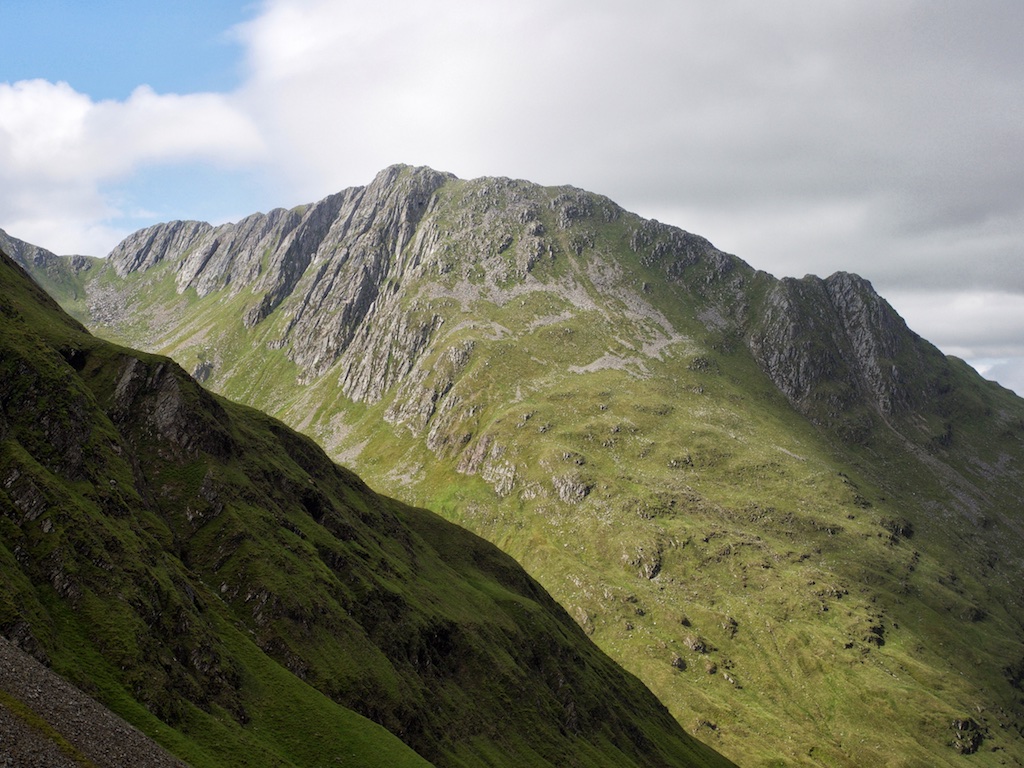
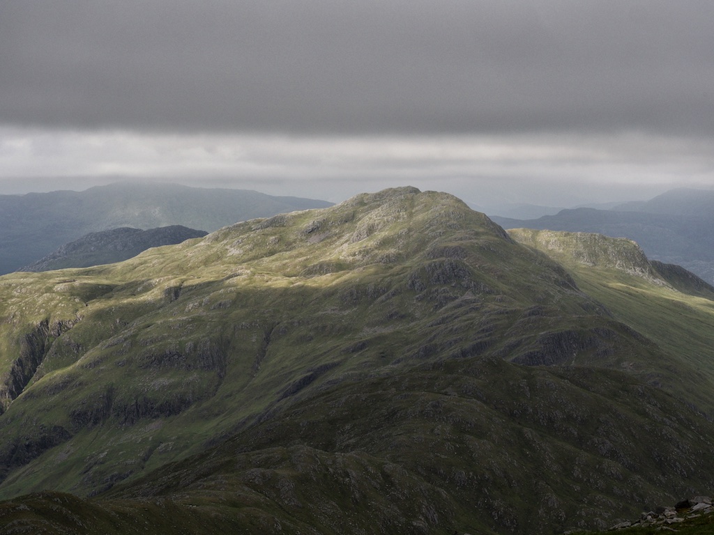
Bidein a’Choire Sheasgaich

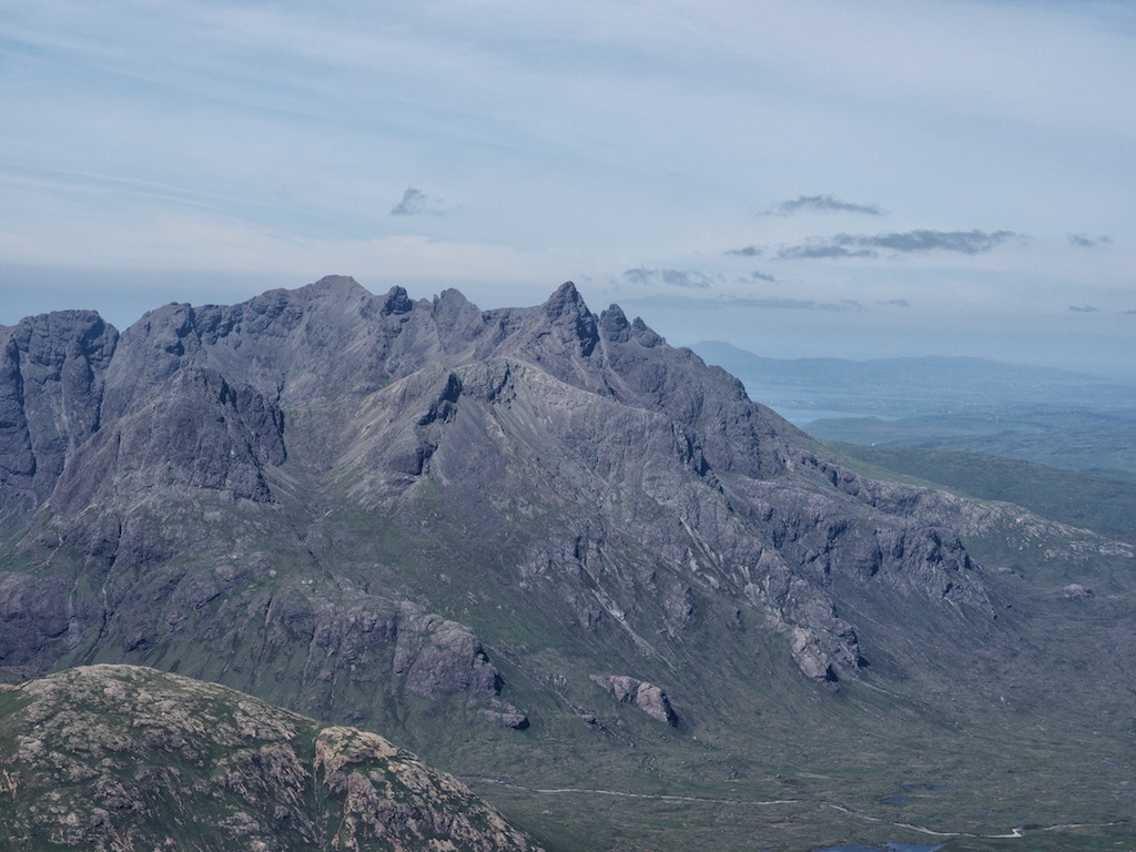
6 June 2017 was a rather wet and windy day. It wasn’t too bad when we parked our Audi outside Attadale Gardens in the lot provided for hikers’ cars. Only later, on the hills, did the downpour really thrash us.

This early in the day, however, spirits were high. But we were also a little apprehensive of the task ahead since the cycle tour to the bothy at Bendronaig Lodge is no piece of cake. And after one kilometre on flat ground the 300m climb to the high point of the hydro road above Loch na Caillich and below Meall Ruadh (454m) started. This was steep in many sections but also had one or two stretches which provided some respite. Do I need to mention that we were overtaken by quite a few lorries making their way towards the hydro constructions further up the Glen?

From the highpoint of the road at about 330m it was a long swoosh down to the bridge over the Black Water where the hydro construction village was situated. Another kilometre on the new hydro road got us to the bothy. There we paused, changed into hiking gear and set off in the rain towards Loch Calavie. On a better day we would have enjoyed the remoteness of the surrounding hills and the setting of the loch but on 6 June 2017 the place looked dreary to desolate. Sorry to say.

At the loch we pause for a snack and then climbed the steepish hillside beside the Allt Coire Calavie. In fact there are several small streams but the Allt Coire Calavie is the biggest and most easterly burn. For me the going was tough as the ground was soaked and the wind hit us front-on. I made it to the col between the two Munros: Cheesecake to the left (i.e. northwest), Lurg to the right (i.e. southeast). There I chatted to a group of three cheerful Scots who lifted my spirits with their kind words. I followed Frank towards Lurg Mhor first over a steeper and rockier … [Read More]

2017-09-19T14:14:56+02:00June 6th, 2017|2017, 2019 - 2010, Glen Cannich to Glen Carron|

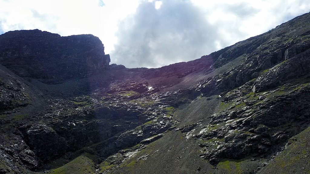
Lurg Mhor

6 June 2017 was a rather wet and windy day. It wasn’t too bad when we parked our Audi outside Attadale Gardens in the lot provided for hikers’ cars. Only later, on the hills, did the downpour really thrash us.

This early in the day, however, spirits were high. But we were also a little apprehensive of the task ahead since the cycle tour to the bothy at Bendronaig Lodge is no piece of cake. And after one kilometre on flat ground the 300m climb to the high point of the hydro road above Loch na Caillich and below Meall Ruadh (454m) started. This was steep in many sections but also had one or two stretches which provided some respite. Do I need to mention that we were overtaken by quite a few lorries making their way towards the hydro constructions further up the Glen?

From the highpoint of the road at about 330m it was a long swoosh down to the bridge over the Black Water where the hydro construction village was situated. Another kilometre on the new hydro road got us to the bothy. There we paused, changed into hiking gear and set off in the rain towards Loch Calavie. On a better day we would have enjoyed the remoteness of the surrounding hills and the setting of the loch but on 6 June 2017 the place looked dreary to desolate. Sorry to say.

At the loch we pause for a snack and then climbed the steepish hillside beside the Allt Coire Calavie. In fact there are several small streams but the Allt Coire Calavie is the biggest and most easterly burn. For me the going was tough as the ground was soaked and the wind hit us front-on. I made it to the col between the two Munros: Cheesecake to the left (i.e. northwest), Lurg to the right (i.e. southeast). There I chatted to a group of three cheerful Scots who lifted my spirits with their kind words. I followed Frank towards Lurg Mhor first over a steeper and rockier … [Read More]
2019-01-02T22:05:49+01:00June 6th, 2017|2017, 2019 - 2010, Glen Cannich to Glen Carron, looking forward to|

Bruach na Frithe

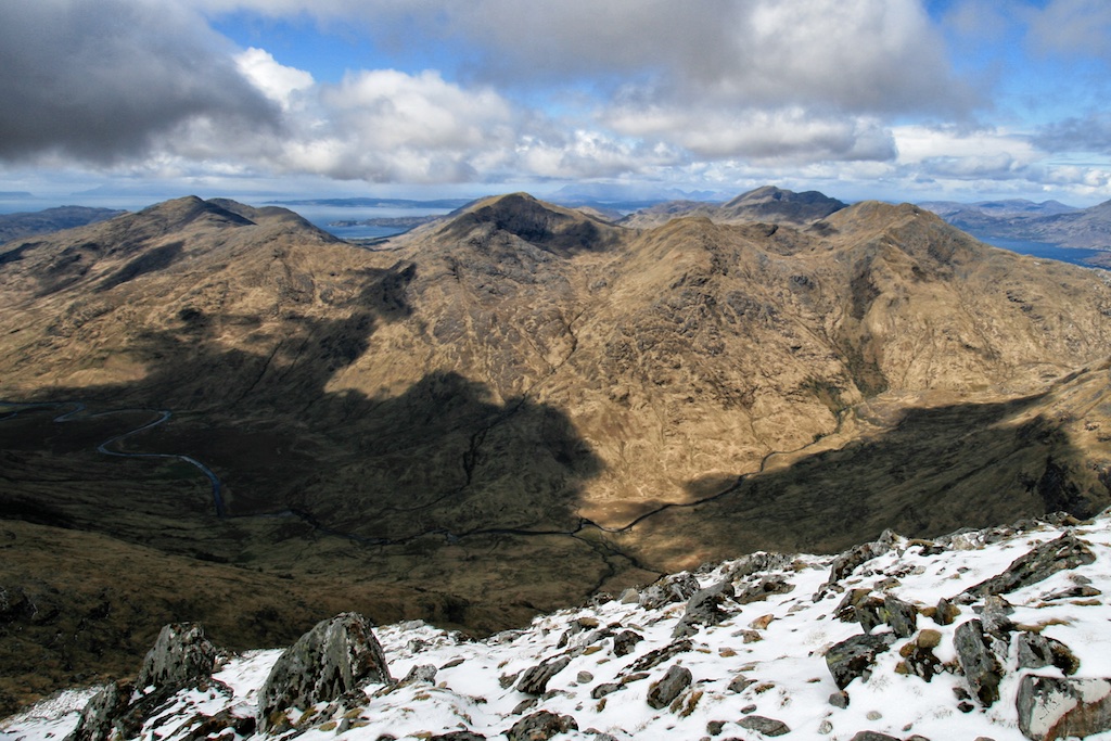
After our delightful excursion to Knoydart, Inverie and Meall Buidhe we took the ferry from Mallaig to Armadale and arrived at the Sligachan Hotel around midday. We were definitely not the only people there :-). But soon we left the hustle and bustle of the hotel’s surroundings and the road intersection behind us and climbed the path beside the Allt Dearg Beag.

The going was easy, the path was obvious and the weather was okay with only one stiff shower accompanying our progress. After three kilometres we reached the steep and rocky hillside that blocks easy entrance into Corrie a’Basteir and forms the left side of the Basteir Gorge (orographically, that is). Frank and I followed the more or less obvious path first through scree and then over some ledges in the rocks. Soon the path passed above the Basteir Gorge and took us into beautiful Corrie a’Basteir. We paused for ten minutes in the corrie and took in the views of Pinnacle Ridge, Am Basteir and the Basteir Tooth. A great place to be in the sunshine which we were lucky enough to have on this Saturday afternoon.

You can never get enough of such views but we finally tore ourselves away from them and embarked on the steep climb towards Bealach a’Basteir which we reached just as heavy rain set in. Rats! I was a little slower than Frank so that when I reached the Bad Step in the ridge of Am Basteir Frank was already coming back and I decided that I would not continue to the summit in view of the very slippery surface of the basalt rocks.

Instead we returned to Bealach a’Basteir, contoured around the foot of Am Basteir, gained Bealach na Lice and continued to Bruach na Frithe which Frank climbed in thick clouds while I waited for him on the ridge. With the second Munro of this walk bagged by Frank we returned to Bealach na Lice and followed the well-cairned and easy path leading down into Fionn Choire and towards the Allt Dearg Mor. … [Read More]

2017-09-19T14:14:56+02:00June 3rd, 2017|2000, 2017, 2019 - 2010, The Islands|

Am Basteir

After our delightful excursion to Knoydart, Inverie and Meall Buidhe we took the ferry from Mallaig to Armadale and arrived at the Sligachan Hotel around midday. We were definitely not the only people there :-). But soon we left the hustle and bustle of the hotel’s surroundings and the road intersection behind us and climbed the path beside the Allt Dearg Beag.

The going was easy, the path was obvious and the weather was okay with only one stiff shower accompanying our progress. After three kilometres we reached the steep and rocky hillside that blocks easy entrance into Corrie a’Basteir and forms the left side of the Basteir Gorge (orographically, that is). Frank and I followed the more or less obvious path first through scree and then over some ledges in the rocks. Soon the path passed above the Basteir Gorge and took us into beautiful Corrie a’Basteir. We paused for ten minutes in the corrie and took in the views of Pinnacle Ridge, Am Basteir and the Basteir Tooth. A great place to be in the sunshine which we were lucky enough to have on this Saturday afternoon.

You can never get enough of such views but we finally tore ourselves away from them and embarked on the steep climb towards Bealach a’Basteir which we reached just as heavy rain set in. Rats! I was a little slower than Frank so that when I reached the Bad Step in the ridge of Am Basteir Frank was already coming back and I decided that I would not continue to the summit in view of the very slippery surface of the basalt rocks.

Instead we returned to Bealach a’Basteir, contoured around the foot of Am Basteir, gained Bealach na Lice and continued to Bruach na Frithe which Frank climbed in thick clouds while I waited for him on the ridge. With the second Munro of this walk bagged by Frank we returned to Bealach na Lice and followed the well-cairned and easy path leading down into Fionn Choire and towards the Allt Dearg Mor. … [Read More]

2019-01-03T17:12:15+01:00June 3rd, 2017|2000, 2017, 2019 - 2010, The Islands|

Meall Buidhe

The Knoydart peninsula proper has three Munros: Ladhar Bheinn, Luinne Bheinn and Meall Buidhe. Frank and I had climbed the first two of them in 1993 (Ladhar B.) and 2010 (Luinne B.). On both occasions we had walked into Knoydart from Barrisdale and had walked out again the same day. Both hikes were memorable leaving us with lasting memories and burning soles.

For the third Munro on the peninsula we opted for the approach from Inverie. The evening before the hike we took the boat from Mallaig to Inverie, enjoyed the marvellous panorama this maritime approach holds in store, checked into our accommodation (Knoydart Lodge, very nice!) and spent the evening in the Old Forge in the company of a Scots/American group of friendly hikers who also stayed at the Lodge.

The next morning saw us peeling out of bed bleary-eyed, eating a hearty breakfast in the communal kitchen of the lodge and then setting off towards Meall Buidhe. The Landrover track from Inverie and the ensuing good path made for an easy first hour of hiking at the end of which we reached the Druim bothy. From there it was another ten minutes to the footbridge over the Allt Gleann Meadail at the entrance to the eponymous glen.

From the entrance to Gleann Meadail we hit the steep slope to the left overgrown with bracken which – after about 250m of very arduous climbing – deposited us on the grassy back of the Druim Righeanaich ridge. From there it was a straightforward if steepish and longish climb to the pre-summit of An t-Uiriollach (826m) and down to the 770m-or-so bealach at the foot of the final climb to Meall Buidhe’s summit and cairn at 946m.

There we rested for a while and tried to take some photographs when there were short breaks in the clouds that shrowded the summit on and off. There was no use in continuing towards the east summit of Meall Buidhe since there were no views. But we had seen all of Knoydart including the Matterhorn (ha-ha!) shape of … [Read More]

2017-09-19T14:14:56+02:00June 2nd, 2017|2017, 2019 - 2010, Loch Eil to Glen Shiel, looking forward to|

2017 Session to come

2017 will be the year of our compleation. A 25 year journey comes to its end with no sadness at all. We will continue to travel to our most favorite country in the world. Since we are the crazy ones and i wanted to do a complete round of MOTD mails to Cord before we finish we have already decided when to go and where to go. This is our final Munro list:

1 . Meall Buidhe (missed that 2010 due to mist and bad weather) will be followed by Cord’s birthday party in Inverie that evening

2+3. Bruach na Frithe and Am Basteir (the last “Doppelhorrors” for Cord)

4. Inaccessible Pinnacle (with a little help of Jonah)

5. Sgurr Dubh Mor (we didn’t found the access in 2007 – bad visibility)

6+7. A’ Mhaighdean and Ruadh Stac Mor (Wilderness 1)

8+9. Mullach Coire Mhic Fhearchair and Sgurr Ban (Wilderness 2)

10+11. Lurg Mor and Bideain a’ Choire Sheasgaich (Cheesecake)

Not quite sure which one of those will be our last Munro. We’ll see. Maybe one or two additional climbs on Skye or a revisit to Torridon if the weather plays nicely. But there will be T-Shirts and beers this time in Plockton – that’s for sure.

2017-09-19T14:14:56+02:00May 22nd, 2017|2017, 2019 - 2010|

Bla Bheinn (Blaven)

The best day, at least weather-wise, was also the last day of the 2016 holiday in Scotland. After five days of fog, two days of wind and rain and one further beautiful day this hike was the saving grace of an otherwise rather viewless bagging season.

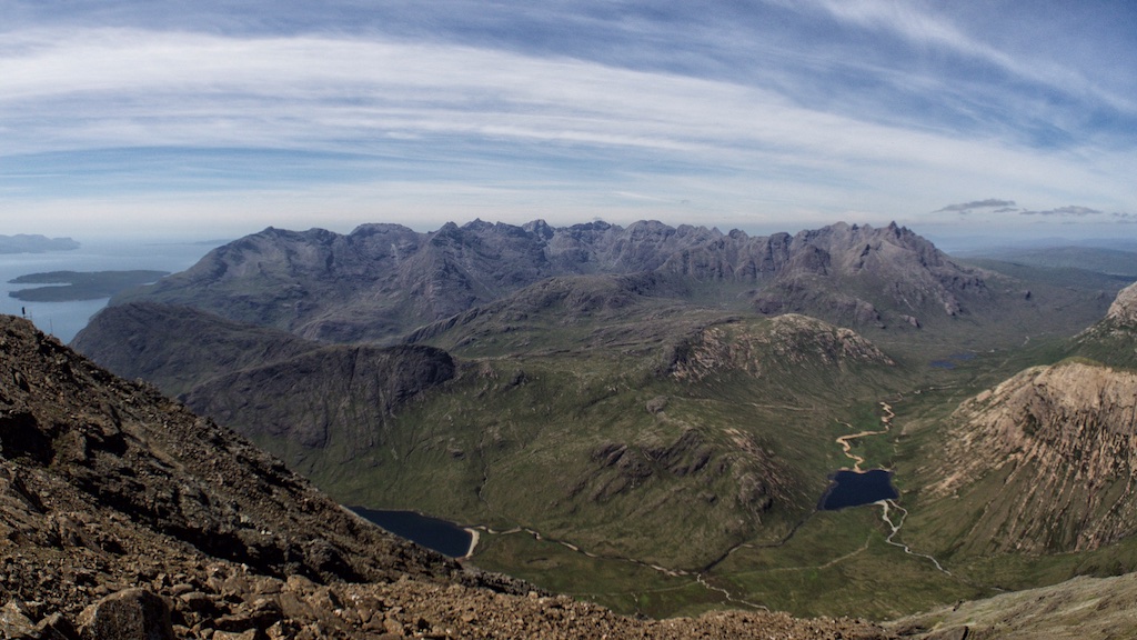
Knowing the weather would be very good we had decided to climb Blaven via its south ridge since this would afford us marvellous views of the Black Cuillins on the way up. Like quite a few other walkers we started the hike from the parking south of Kilmarie where a Landrover track crosses the Strathaird peninsula. The track undulates a bit but then rises to its highest point (Am Mam) and drops again on its way towards Camasunary. Shortly before the next sharp bend in the track a path leads off towards the foot of the south ridge of Blaven. In due time this path crosses a small burn. A few metres past the burn the path leading up the steep grass slopes of the mountain’s south ridge branches off at an altitude of approximately 100m.

We climbed this very steep slope on the good path which further up outflanks the first bands of rock to the right before it leads up a steep gully filled with scree. Then at about 380m the path suddenly reaches the crest of the ridge and the complete Black Cuillin ridge springs into view. I took a break there and enjoyed the views which really were to die for.

From this spot onwards there is not much grass left underfoot as slabs of rock, small boulders and scree form the ground your boots tread on. The way forward was marked by cairns though and route-finding was not a problem. Over several steps in the ridge – which gave opportunity for some mild scrambling – the path follows the crest of the ridge or uses easier terrain on the east side of the hill. Further up the mountain it was not so easy to discern a path or rather the right path … [Read More]

2017-09-19T14:14:57+02:00June 18th, 2016|2016, 2019 - 2010, The Islands|

Beinn Fhada

17 June 2016 was the last but one day in the 2016 hiking season. We had packed all our stuff into the car and had quit our quiet cottage in Glen Roy not too early in the morning. The drive up to Glen Shiel and then to Loch Duich had been swift, pleasant and uneventful. There wasn’t too much activity at the Morvich outdoor centre and camping spot that Friday morning. We set out towards Strath Croe first walking on the road and then, after crossing the Abhainn Chohaig, along the signposted and well-maintained footpath. It was a warm day. Soon a thin film of sweat appeared on our faces and forearms. We passed the grassy area below the steep face of Beinn Bhuide and entered Gleann Choinneachain.

I had been there several times before and remembered that the very convenient and well-maintained path climbs steadily and very gradually into the beautiful glen. Some pools and small waterfalls seemed quite inviting — if difficult to reach — from the high path. When maybe six or seven kilometres had been covered we reached the spot where the path towards Beinn Fhada branches off. Thereabouts we dropped our rucksacks and continued towards Bealach an Sgairne since we wanted to climb A’Ghlas-bheinn first. On the next kilometre the path leading to the bealach winds its way through and over boulders in the ever-narrowing glen. Quite interesting.

From the bealach we could not see much in the direction of the Affric hills since some clouds blocked the view. A pity. But the close-up details of the craggy and steep north face of Meall a’Bhealaich compensated a bit for the lack of grand vistas towards the east.

The continuation of the remaining 350m climb to the summit of A’Ghlas-bheinn was entertaining. First the path climbs steeply through rocky terrain broken by grassy terraces. Once some further height is gained the path more or less sticks to the top of the grassy ridge which rises in several rocky steps followed by flatter sections towards the summit of the 918m … [Read More]

2017-09-19T14:14:57+02:00June 17th, 2016|1998, 2016, 2019 - 2010, Glen Affric and Kintail|

A’Ghlas-bheinn

17 June 2016 was the last but one day in the 2016 hiking season. We had packed all our stuff into the car and had quit our quiet cottage in Glen Roy not too early in the morning. The drive up to Glen Shiel and then to Loch Duich had been swift, pleasant and uneventful. There wasn’t too much activity at the Morvich outdoor centre and camping spot that Friday morning. We set out towards Strath Croe first walking on the road and then, after crossing the Abhainn Chohaig, along the signposted and well-maintained footpath. It was a warm day. Soon a thin film of sweat appeared on our faces and forearms. We passed the grassy area below the steep face of Beinn Bhuide and entered Gleann Choinneachain.

I had been there several times before and remembered that the very convenient and well-maintained path climbs steadily and very gradually into the beautiful glen. Some pools and small waterfalls seemed quite inviting — if difficult to reach — from the high path. When maybe six or seven kilometres had been covered we reached the spot where the path towards Beinn Fhada branches off. Thereabouts we dropped our rucksacks and continued towards Bealach an Sgairne since we wanted to climb A’Ghlas-bheinn first. On the next kilometre the path leading to the bealach winds its way through and over boulders in the ever-narrowing glen. Quite interesting.

From the bealach we could not see much in the direction of the Affric hills since some clouds blocked the view. A pity. But the close-up details of the craggy and steep north face of Meall a’Bhealaich compensated a bit for the lack of grand vistas towards the east.

The continuation of the remaining 350m climb to the summit of A’Ghlas-bheinn was entertaining. First the path climbs steeply through rocky terrain broken by grassy terraces. Once some further height is gained the path more or less sticks to the top of the grassy ridge which rises in several rocky steps followed by flatter sections towards the summit of the 918m … [Read More]

2017-09-19T14:14:57+02:00June 17th, 2016|2016, 2019 - 2010, Glen Affric and Kintail|
Go to Top