Carn Mairg
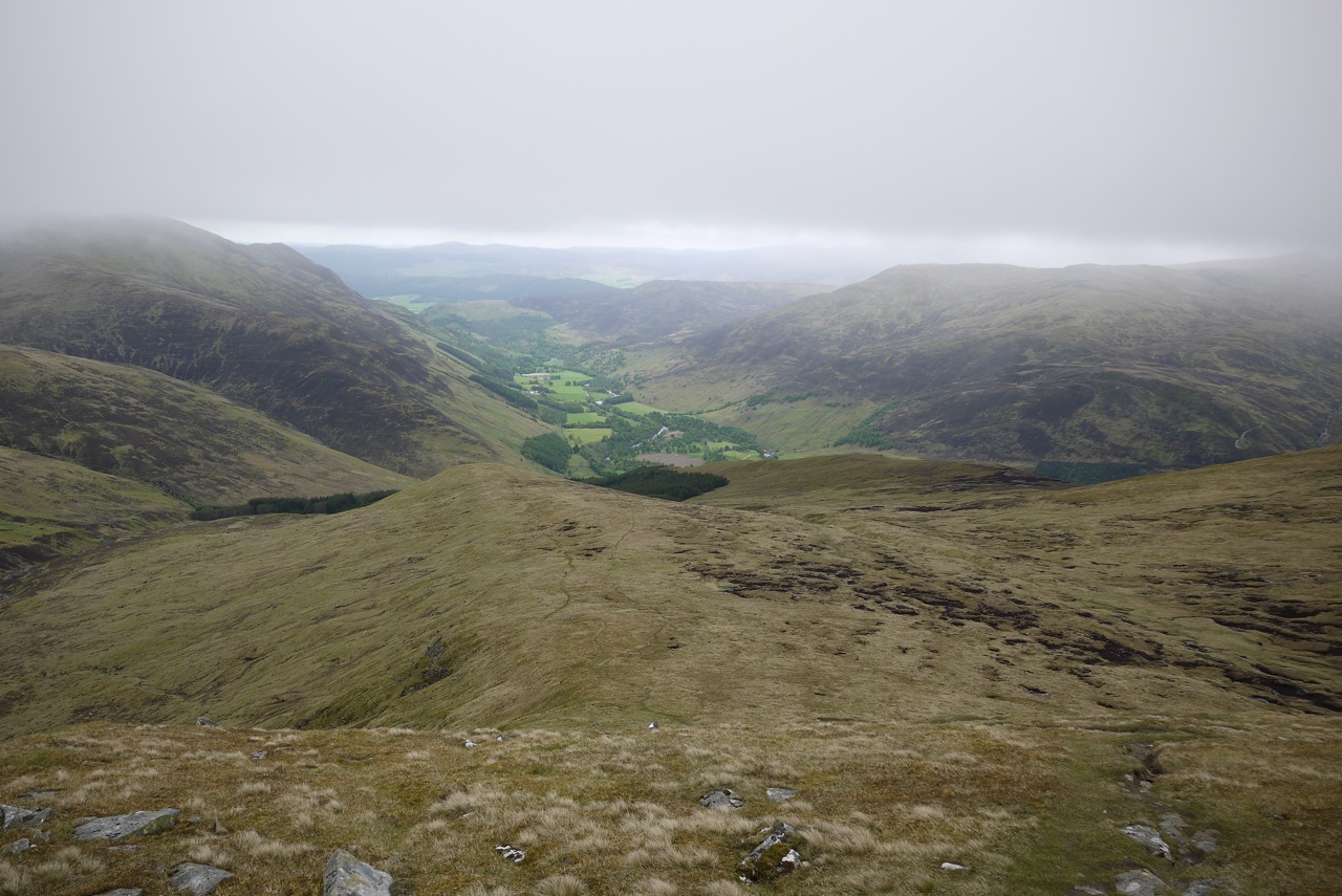
This round of four Munros was the main reason for us renting a cottage on the Roro estate in Glen Lyon for the 2011 bagging exercise. Located on the south bank of the River Lyon we had an unobstructed view of Carn Gorm’s western and southern side from the cottage. Quite a bulk of a mountain.
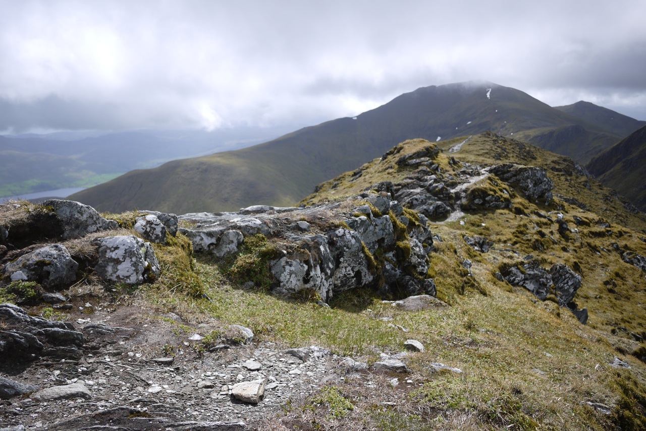
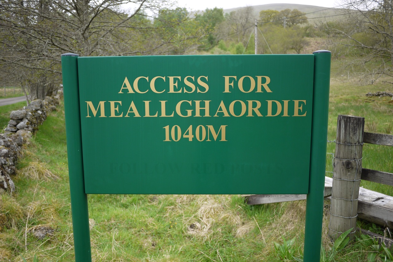
Even though the hill was very close Frank and I nonetheless drove the four kilometres to the start of the hike by car. We set out from the parking in Invervar, crossed the street, opened the gate and were on our way. Shortly after having reached the rim of the forest we left the land rover track behind us and climbed due east on a good stalkers path on the southern flank of the ridge leading to Meall nan Aighean our first Munro of the day. The path’s good layout allowed for easy progress. Higher up the going became a little less easy since there were some steeper sections and the path tended to disappear and reappear. Soon, however, the path deposited us on the crest of the ridge at an altitude of about 550 to 600m. From there it was a steady walk up the ridge which tended to level off once the summit got close.
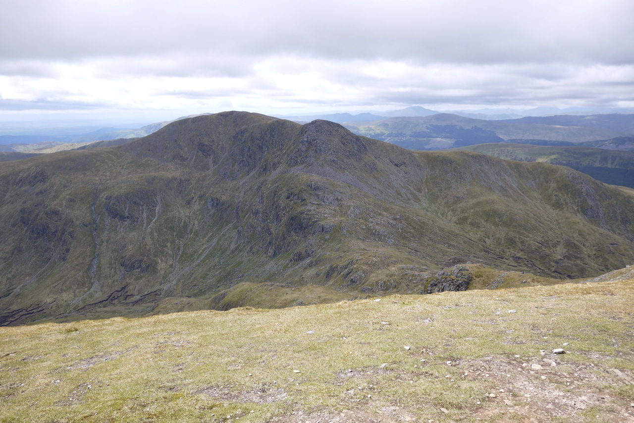
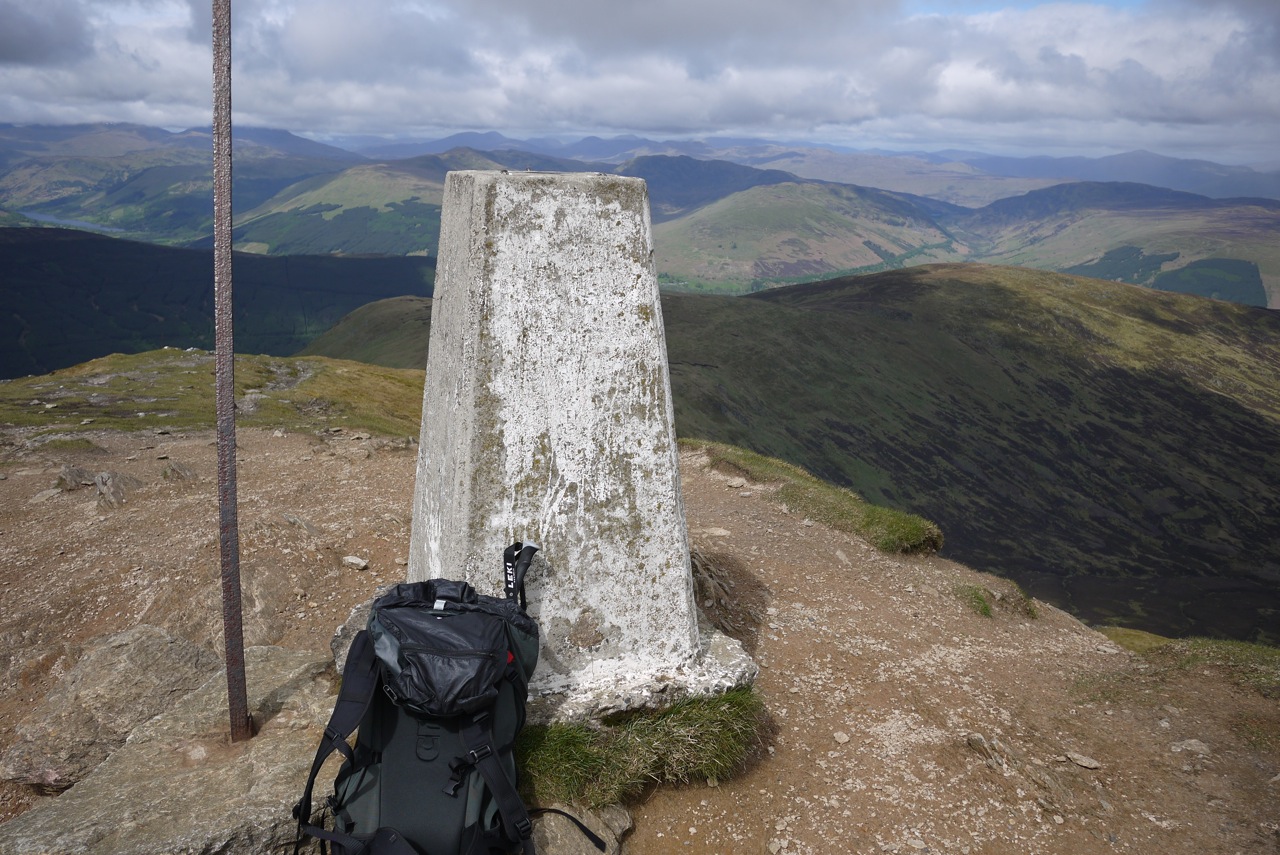
The terrain being easy we enjoyed the views of the Lawers range to the south and of the ridge walk that lay ahead of us to the north. At the summit of Meall nan Aighean we paused for some cookies and water. Then we retraced the steps of our ascent for a few hundred metres. Soon, however, another track led us in a northerly direction and delivered us at the bottom of the south-eastern flank of Carn Mairg which is a steep grass slope strewn with boulders and interspersed with rubble and some scree. On this easy ridge walk this was the day’s only intimation of more difficult terrain. Nice for a change! Once on the wide plateau-ish summit slopes of Carn Mairg Frank and I soon reached … [Read More]