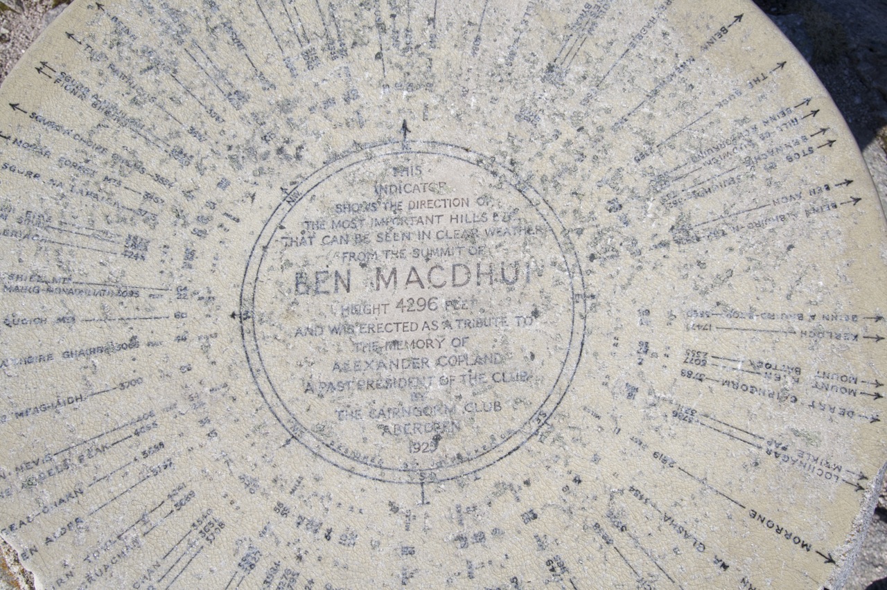
Sgor an Lochain Uaine

2011 This was supposed to be the “Kaisertour” of our extended Scotland 2011 weekend. It was kaiser but unfortunately the weather and clouds were not too kind to us. Since i had planned to go to Cairn Toul at least if not The Devil’s Point we started very early from the lower parking place. The mood was fine, the morning mist looked beautiful and the going was easy till we reached the Chalamain Gap. This is an impressive piece of rock gap which we mastered with some effort. Soon after the gap we lost height to cross Alt Druidh to start the ascent to the ridge.

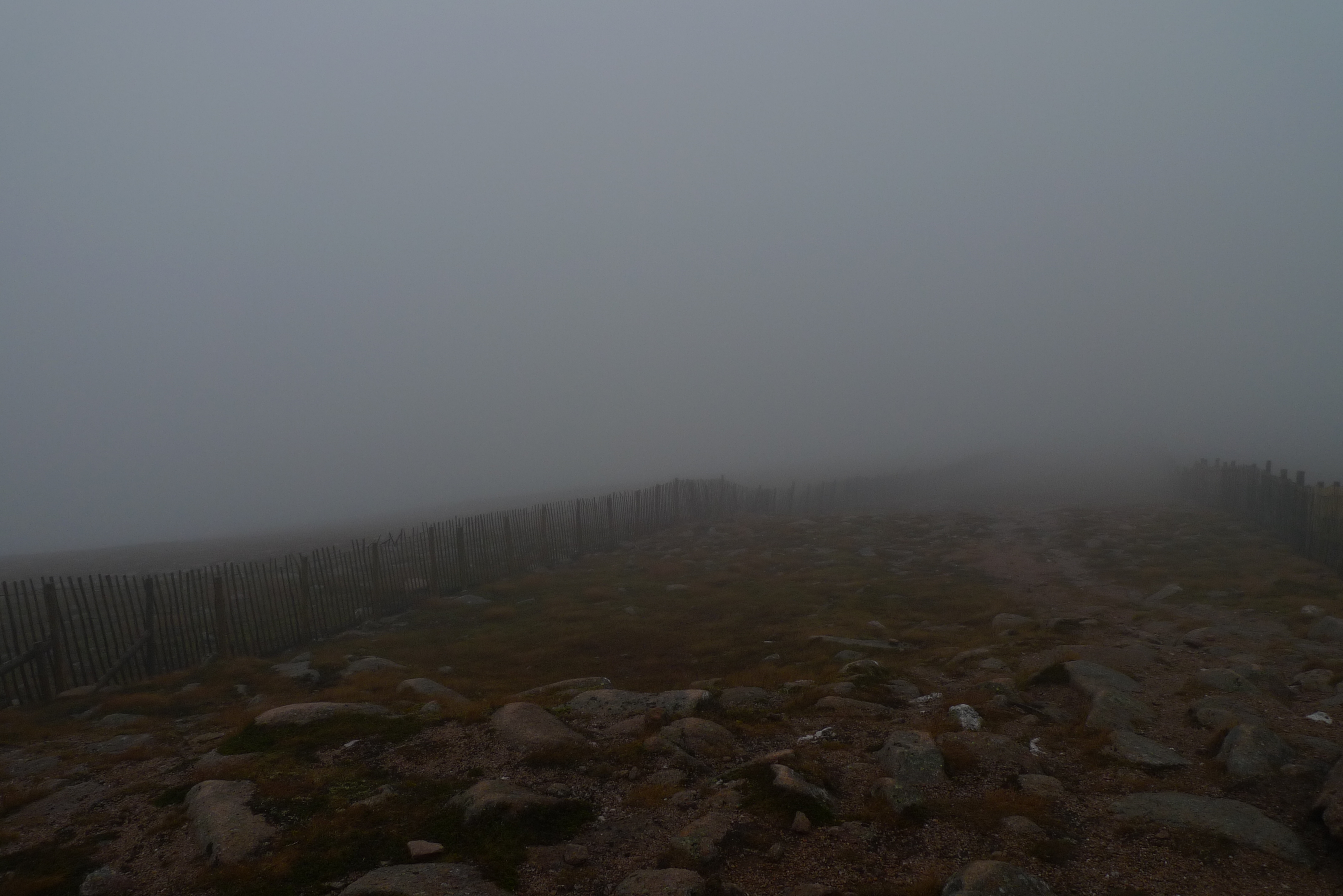
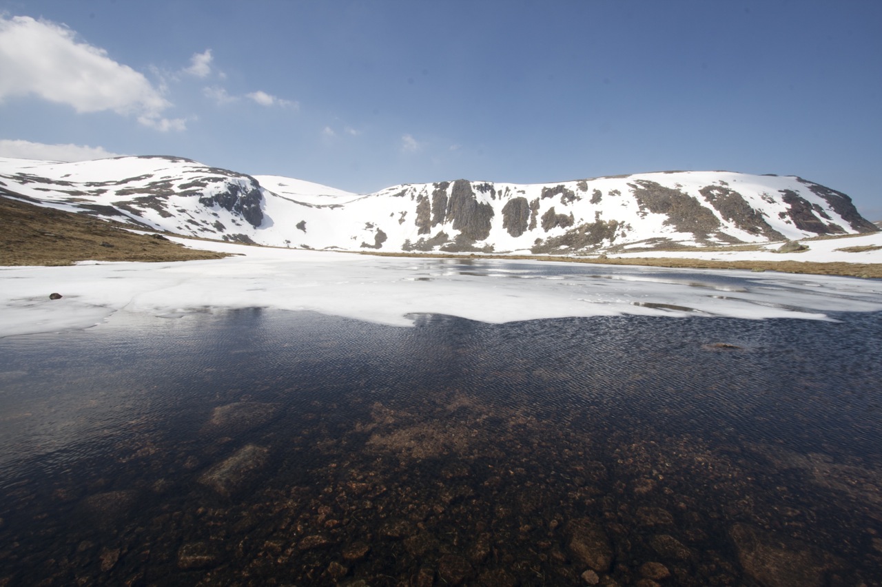
Unfortunately we were too soon engulfed in mist and this should not change for the rest of the day. Bugger. When we reached the ridge we had very little view and we used the southern edge for orientation and walking. So we reached the summit of Braeriach after 4,5h which we celebrated with an well earned rest. The conditions were not too inviting so the break was not the longest one and we started over again. Thomas and Markus called it a day and returned. I gave them my Landranger copy (to be regretted later). The rest of the party made quite a navigational effort to continue near the ridge and try to avoid to get lost in the western Cairngorms. We succeeded in reaching the summit of Sgòr an Lochain Uaine. After a short consideration i decided to give Cairn Toul a try while Cord, Joachim and Stefan returned. They used our other map while i trusted in my iPhone and the Anquet software installed (to be regretted later).

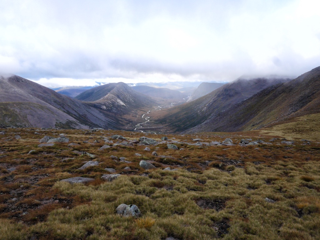
So i did a speed as/descent of Cairn Toul. Since i did not want to reascent The Angel’s Peak i tried to walk around but due to zero views and the fact that my iPhone died in the rain i was without any mapping support. I did my best not to walk too low and too much to the south but i did not succeed. … [Read More]

2017-09-19T14:16:15+02:00October 2nd, 2011|2011, 2019 - 2010, The Cairngorms|

Cairn Gorm

2011 He we were again. The “Mechernich Group” and Cord on an extended weekend to enjoy and see the marvellous hills of scotland. We wanted to start with a moderate hill to get the old bones used to it. Bugger, we didn’t see anythin – but we had coffee!

From our lovely Treehouse in Boat of Garten it only took a short drive to the high level parking space an the base station of the Cairngorms ski area. I’ll never get used to those walks with these kind of infrastructure. It was very dizzy and we couldn’t see very much and this shouldn’t improve very much over the day … well we continued over skislopes and saw occasionally the skiing infrastructure.

Soon the infamous Ptarmigan came in sight but we headed directly to the marked path to the summit. Quite strangely this path is marked by post signs and one ought not leave it. After a short walk we arrived at the summit where we saw nothing, absolutely nothing. So we returned at once down to the Ptarmigan where we wanted to take our snack in a sheltered corner. One of the drivers of the funicular waved us inside. So we went inside, signed the entrybook and thought about eating in the waiting room. But we entered the next level of convenience and walked downstairs to the self service restaurant where we had – quite a novelty for Cord and me – cakes and coffee in a big and warm restaurant. Strange feeling i can tell you. Not sure if i want to repeat that. It was as it was, it was indeed welcome since we were wet and cold. We stayed about a hour before we emerged to the waiting room put our raingear on and entered the wild Cairngorms again. Of course we signed off again in the entry book.

It took us about 40 minutes for returning to our cars where we changed gear again and drove back to Boat of Garten where we enjoyed a nice afternoon with tea … [Read More]

2017-09-19T14:16:15+02:00October 1st, 2011|2004, 2011, 2019 - 2010, The Cairngorms|

Sgor Gaoith

Heading north from Kingussie we stopped over at the Cairngorms to bag one Munro on a half-day hike. From Feshie Bridge we drove up the road leading to the parking a kilometre off Achlean farm. The day was quite nice. Sun and clouds took turns. From the parking we walked the road to the farm. A few hundred metres before the farm the path branched off to the left and we began the long but not too steep climb.

Once above the trees much of the ascent to Carn Ban Mor was clearly visible. Visible too was the fact that we were only two of dozens and dozens of hikers on the path. On we plodded overtaking a few walking parties and meeting two mountain bikers who rode down the path. This was quite appalling since the path was not at all suitable for bicycles in many places. Money spent on this very well-engineered path should not be put to waste by bicycles grinding up the path surface. At the short level section of the path before the final steep 250 metre climb the wind picked up considerably and we put on some more layers of clothes. Soon we reached the shoulder or col south of Carn Bàn Mor from where turned north, crossed the summit of this subsidiary top, reached the beallach at about 1020m below Sgorr Gaoith and climbed the final 90 metres to the summit of the Munro.

The wind was quite strong and we sought shelter to eat our sandwiches and have some tea. Directly east of the cairn a few ledges two metres below the summit offered a sheltered spot and perfect views of Loch Einich and the western slopes of Braeriach. Wonderful scenery, really wonderful! Soon after we left the cold summit of Sgorr Gaoith we were caught in a short snow shower- the only precipitation of the whole hike. On the way back we pondered bagging Mullach Clach a’ Bhlair, too, but decided we did not have the time to do that: Shopping for … [Read More]

2017-09-19T14:17:06+02:00May 2nd, 2009|2009, 2009 - 2000, The Cairngorms|

Beinn a’Bhuird

2008 in Braemar was a very entertaining hiking holiday. We enjoyed a lot of sunshine, rode our bicycles and ticked quite few of the great Cainrgom hills. Among them these two remote and very handsome, big hills. Form Invercauld Estate where we had parked our car we rode our bicycles up Gleann an t-Slugain almost to the ruins of Slugain Lodge. This ride was quite exhausting. The ruins are set in a curious hollow between two slopes which also contains a little lochain.

Once in Glen Quoich we followed a very well-engineered path high above the Quoich water, passed the western slopes of Carn Eag Dhubh and Carn Eas and after the path got steeper passed the boulder called Clach a’Cléirich. In the upper reaches of the corrie there were still many snow fields which also covered the track so that we had the unexpected joy of tip-toeing over snow bridges and crossing large mushy stretches of snow. Then the col between the two Munros was reached and we turned east (right) to climb Ben Avon first. After another one hundred metres of climbing the plateau of this giant hill opened up before us. Vast is a good word to describe the views. After fifteen minutes of walking we climbed the granite tor of Leabaidh an Daimh Bhuidhe from its north side. This was fun and a pleasant change in the days menu of endless steps on grassy plateau. We paused close to the summit of the tor in the broad sunshine. Frank and I had some tea and chatted a bit. Then it became a little cold in the wind so we packed up and headed back to the col between the two hills.

Then on the final fifty metres before reaching the next plateau we had to negotiate a tricky small snowfield requiring maybe a hundred steps on untrustworthy steepish slush lying on grass. But fortunately nothing happened. Then it was another nice plateau walk to the un-inspiring summit of Beinn a’ Bhuird. However, the eastern corries of … [Read More]

2017-09-19T14:17:47+02:00May 8th, 2008|2008, 2009 - 2000, The Cairngorms|

Leabaidh an Daimh Bhuidhe

2008 in Braemar was a very entertaining hiking holiday. We enjoyed a lot of sunshine, rode our bicycles and ticked quite few of the great Cainrgom hills. Among them these two remote and very handsome, big hills. Form Invercauld Estate where we had parked our car we rode our bicycles up Gleann an t-Slugain almost to the ruins of Slugain Lodge. This ride was quite exhausting. The ruins are set in a curious hollow between two slopes which also contains a little lochain.

Once in Glen Quoich we followed a very well-engineered path high above the Quoich water, passed the western slopes of Carn Eag Dhubh and Carn Eas and after the path got steeper passed the boulder called Clach a’Cléirich. In the upper reaches of the corrie there were still many snow fields which also covered the track so that we had the unexpected joy of tip-toeing over snow bridges and crossing large mushy stretches of snow. Then the col between the two Munros was reached and we turned east (right) to climb Ben Avon first. After another one hundred metres of climbing the plateau of this giant hill opened up before us. Vast is a good word to describe the views. After fifteen minutes of walking we climbed the granite tor of Leabaidh an Daimh Bhuidhe from its north side. This was fun and a pleasant change in the days menu of endless steps on grassy plateau. We paused close to the summit of the tor in the broad sunshine. Frank and I had some tea and chatted a bit. Then it became a little cold in the wind so we packed up and headed back to the col between the two hills.

Then on the final fifty metres before reaching the next plateau we had to negotiate a tricky small snowfield requiring maybe a hundred steps on untrustworthy steepish slush lying on grass. But fortunately nothing happened. Then it was another nice plateau walk to the un-inspiring summit of Beinn a’ Bhuird. However, the eastern corries of … [Read More]

2017-09-19T14:17:48+02:00May 8th, 2008|2008, 2009 - 2000, The Cairngorms|

Carn a’Mhaim

How to find better ways to a summit or This time from south. Mike and I had climbed Ben Macdui via Cairn Gorm in September 2002 on a very hot day in late summer. The approach over the plateau by way of Corrie Cas, Ptarmigain Restaurant and Stob Coire an Lochain had been a mixed bag of not so scenic tourist installations and of beautiful landscape before we reached the summit. In 2008, the approach from Deeside proved to be much more satisfying.

Starting at the Linn of Dee we cycled up the easy landrover track by the Lui Water to Derry Lodge where we left the bycicles. We crossed the Derry Burn and walked into the old forrest in Glen Derry with its enchanting atmopshere. The path was well engineered so we slowly but steadily gained some height. Near the northern end of the forrest we saw a big capercaille in a tree. As soon as the animal spotted us it flew down the glen. Great bird and a big one at that!

We recrossed the Derry Burn, continued up the wide and flat glen, took in the views of Derry Cairngom to the left and finally reached the fork in the path where we turned left and headed up Corrie Etchachan. A few minutes before reaching the Hutchinson Memorial Hut we took a break and basked in some sunshine while resting on a rock. Then the hut came into view. This bothy is very nicely situated in the corrie bowl. The corrie has a rather alpine feel about it with a lot of loose scree, rocky walls and only little vegetation. A very quiet and contemplative place and a great location to build a hut.

The next 250 metres in height were quite steep but that was just as good as very soon we reached Loch Etchachan, which was frozen over, of course, as described in many a book. It is difficult to do the beauty of the place justice using words so I … [Read More]

2017-09-19T14:17:48+02:00May 7th, 2008|2008, 2009 - 2000, The Cairngorms|

Derry Cairngorm

How to find better ways to a summit or This time from south. Mike and I had climbed Ben Macdui via Cairn Gorm in September 2002 on a very hot day in late summer. The approach over the plateau by way of Corrie Cas, Ptarmigain Restaurant and Stob Coire an Lochain had been a mixed bag of not so scenic tourist installations and of beautiful landscape before we reached the summit. In 2008, the approach from Deeside proved to be much more satisfying.

Starting at the Linn of Dee we cycled up the easy landrover track by the Lui Water to Derry Lodge where we left the bycicles. We crossed the Derry Burn and walked into the old forrest in Glen Derry with its enchanting atmosphere. The path was well engineered so we slowly but steadily gained some height. Near the northern end of the forrest we saw a big capercaille in a tree. As soon as the animal spotted us it flew down the glen. Great bird and a big one at that! We recrossed the Derry Burn, continued up the wide and flat glen, took in the views of Derry Cairngom to the left and finally reached the fork in the path where we turned left and headed up Corrie Etchachan. A few minutes before reaching the Hutchinson Memorial Hut we took a break and basked in some sunshine while resting on a rock. Then the hut came into view. This bothy is very nicely situated in the corrie bowl. The corrie has a rather alpine feel about it with a lot of loose scree, rocky walls and only little vegetation. A very quiet and contemplative place and a great location to build a hut.

The next 250 metres in height were quite steep but that was just as good as very soon we reached Loch Etchachan, which was frozen over, of course, as described in many a book. It is difficult to do the beauty of the place justice using words so I won’t try. The … [Read More]

2017-09-19T14:17:48+02:00May 7th, 2008|2008, 2009 - 2000, The Cairngorms|

Ben Macdui

2008 How to find better ways to a summit or This time from south.

Mike and I had climbed Ben Macdui via Cairn Gorm in September 2002 on a very hot day in late summer. The approach over the plateau by way of Corrie Cas, Ptarmigain Restaurant and Stob Coire an Lochain had been a mixed bag of not so scenic tourist installations and of beautiful landscape before we reached the summit. In 2008, the approach from Deeside proved to be much more satisfying. Starting at the Linn of Dee we cycled up the easy landrover track by the Lui Water to Derry Lodge where we left the bycicles. We crossed the Derry Burn and walked into the old forrest in Glen Derry with its enchanting atmosphere.

The path was well engineered so we slowly but steadily gained some height. Near the northern end of the forrest we saw a big capercaille in a tree. As soon as the animal spotted us it flew down the glen. Great bird and a big one at that! We recrossed the Derry Burn, continued up the wide and flat glen, took in the views of Derry Cairngom to the left and finally reached the fork in the path where we turned left and headed up Corrie Etchachan. A few minutes before reaching the Hutchinson Memorial Hut we took a break and basked in some sunshine while resting on a rock. Then the hut came into view. This bothy is very nicely situated in the corrie bowl. The corrie has a rather alpine feel about it with a lot of loose scree, rocky walls and only little vegetation. A very quiet and contemplative place and a great location to build a hut. The next 250 metres in height were quite steep but that was just as good as very soon we reached Loch Etchachan, which was frozen over, of course, as described in many a book. It is difficult to do the beauty of the place justice using words so I won’t try. … [Read More]

2017-09-19T14:18:52+02:00September 1st, 2002|2002, 2008, 2009 - 2000, The Cairngorms|
Go to Top