Meall Garbh
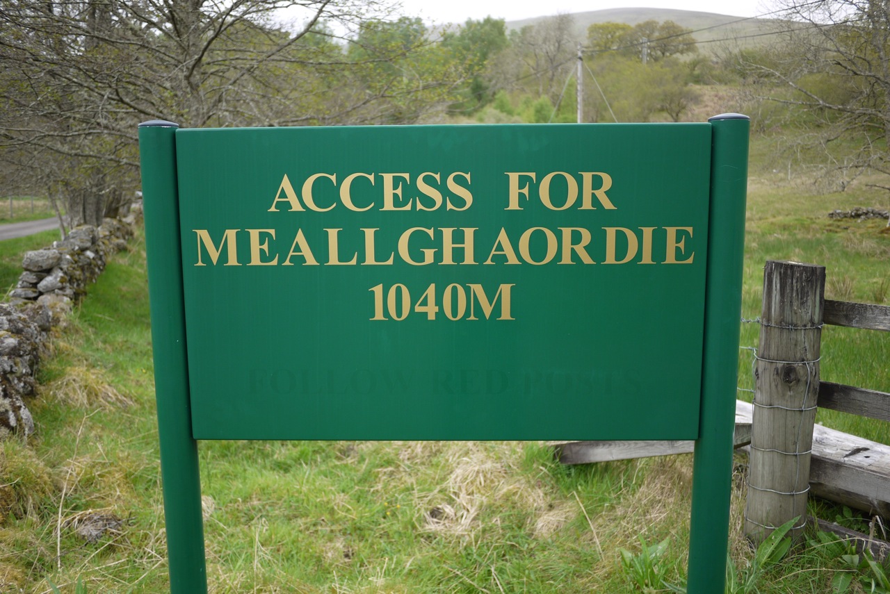
2011 Staying in Glen Lyon on the Roro Estate allowed us to gain easy access to two great foursomes. One to the north – The Glen Lyon Four – and one to the south – Meall Greigh to Ben Lawers.
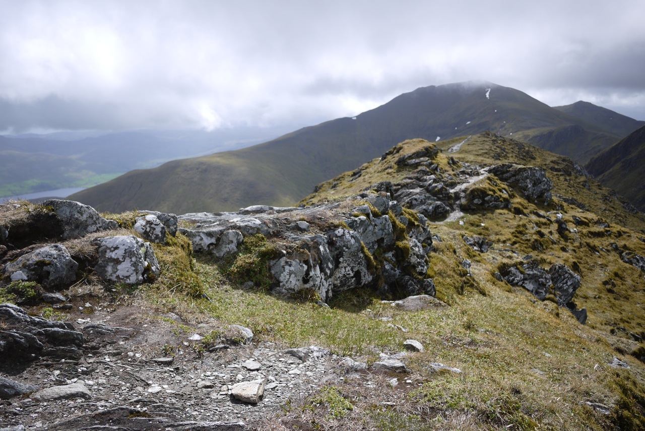
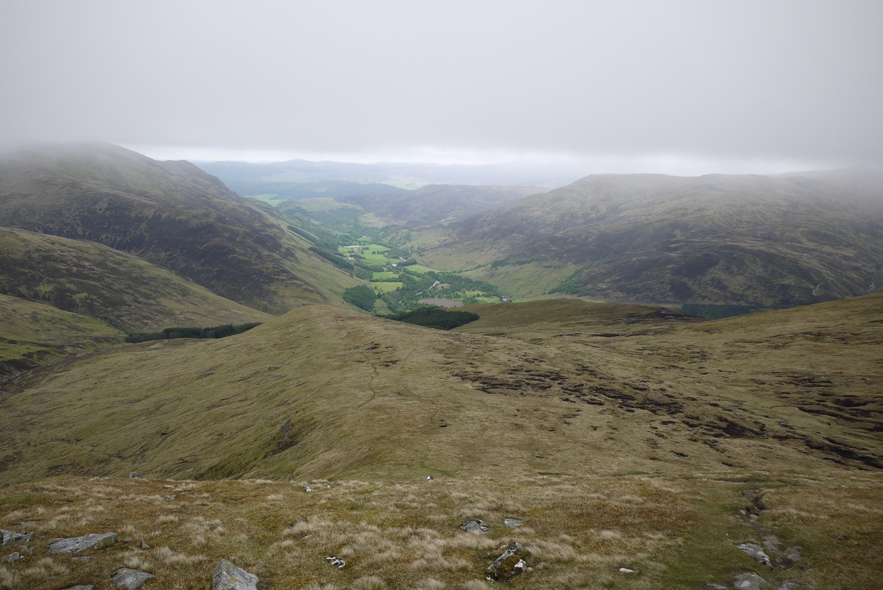
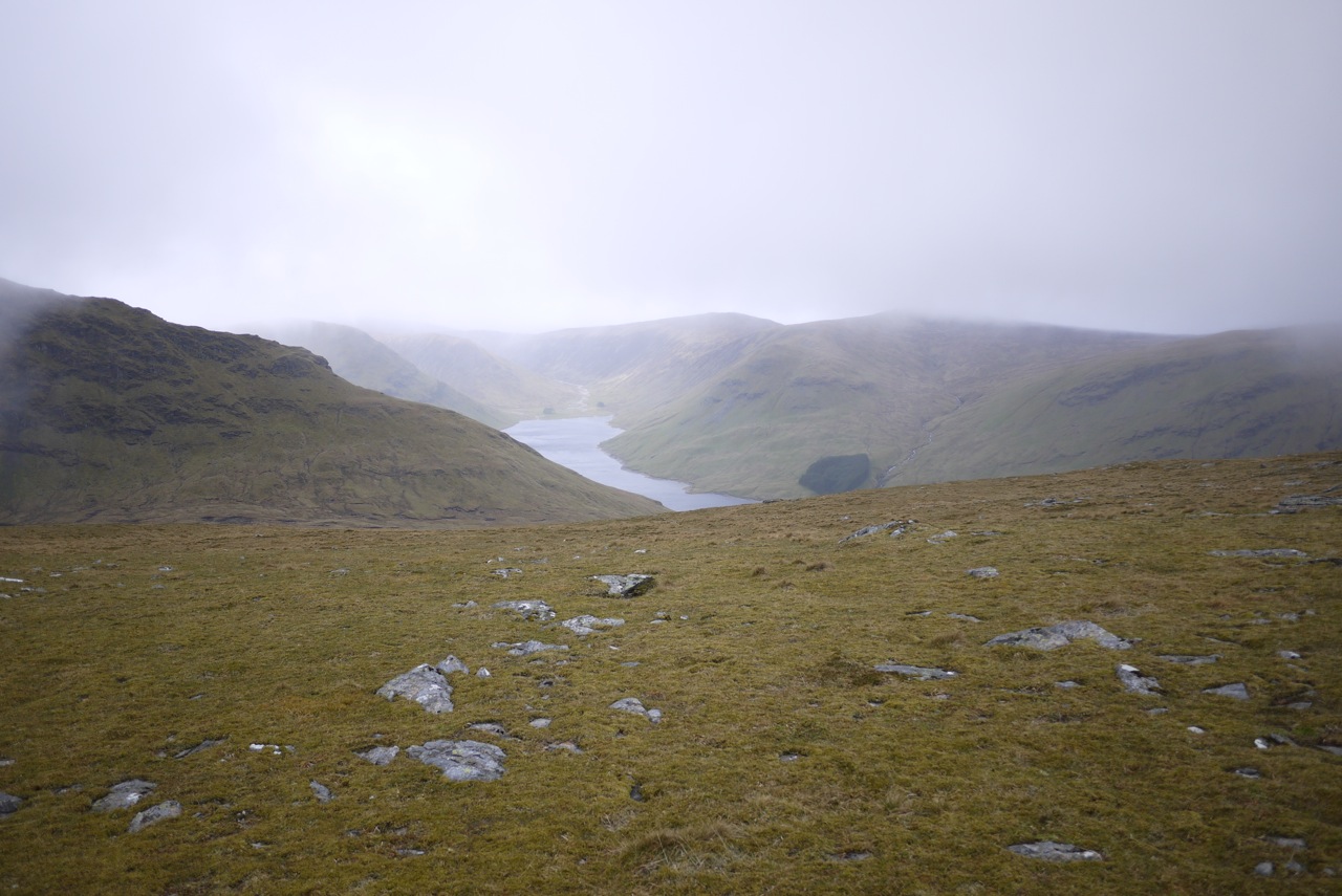
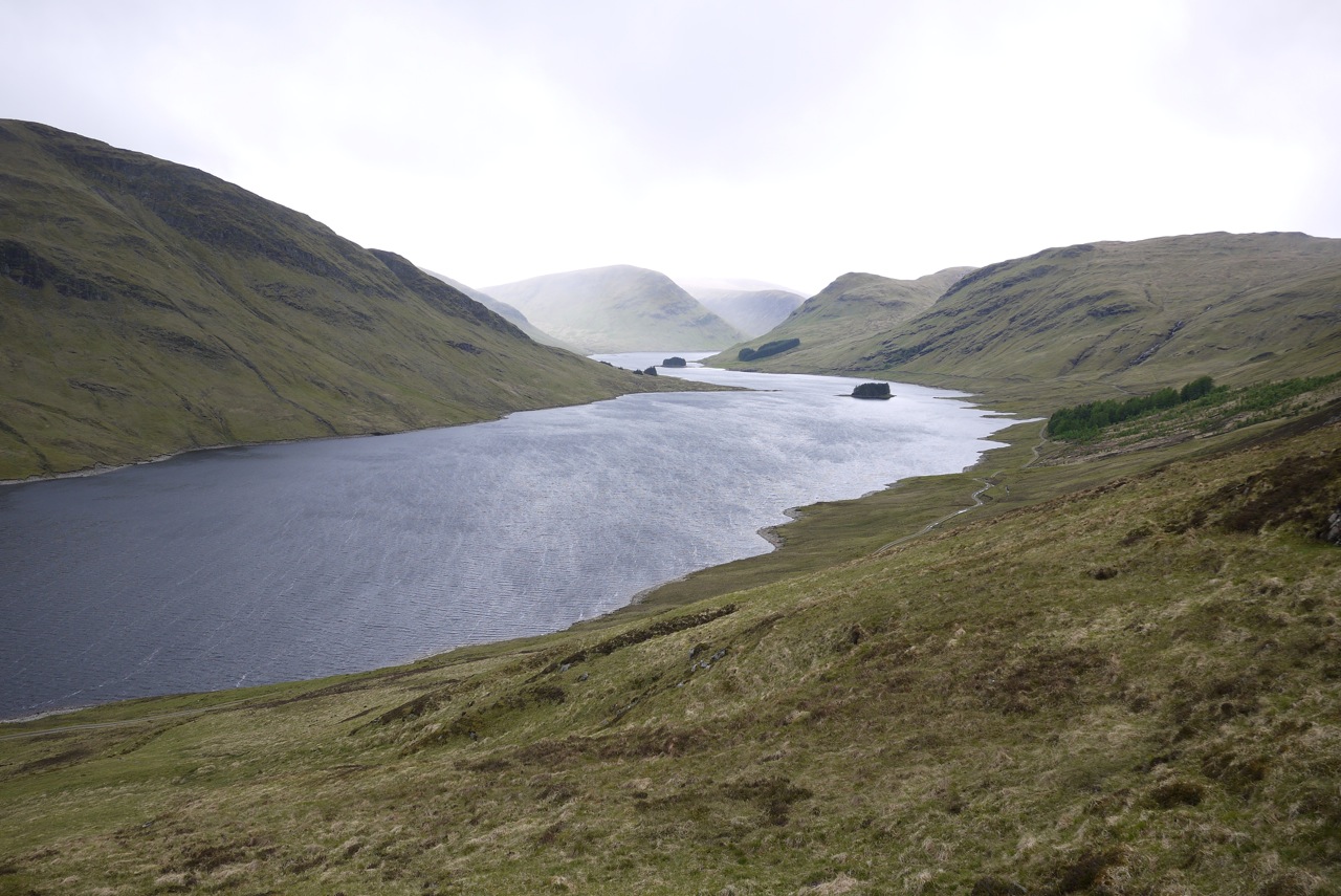
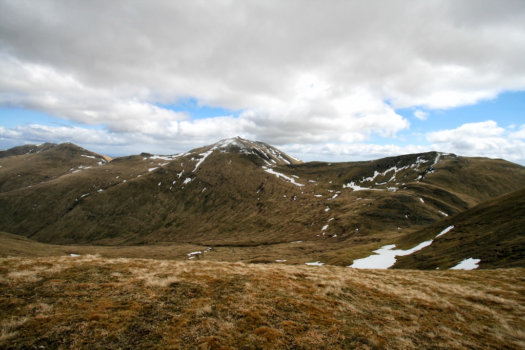
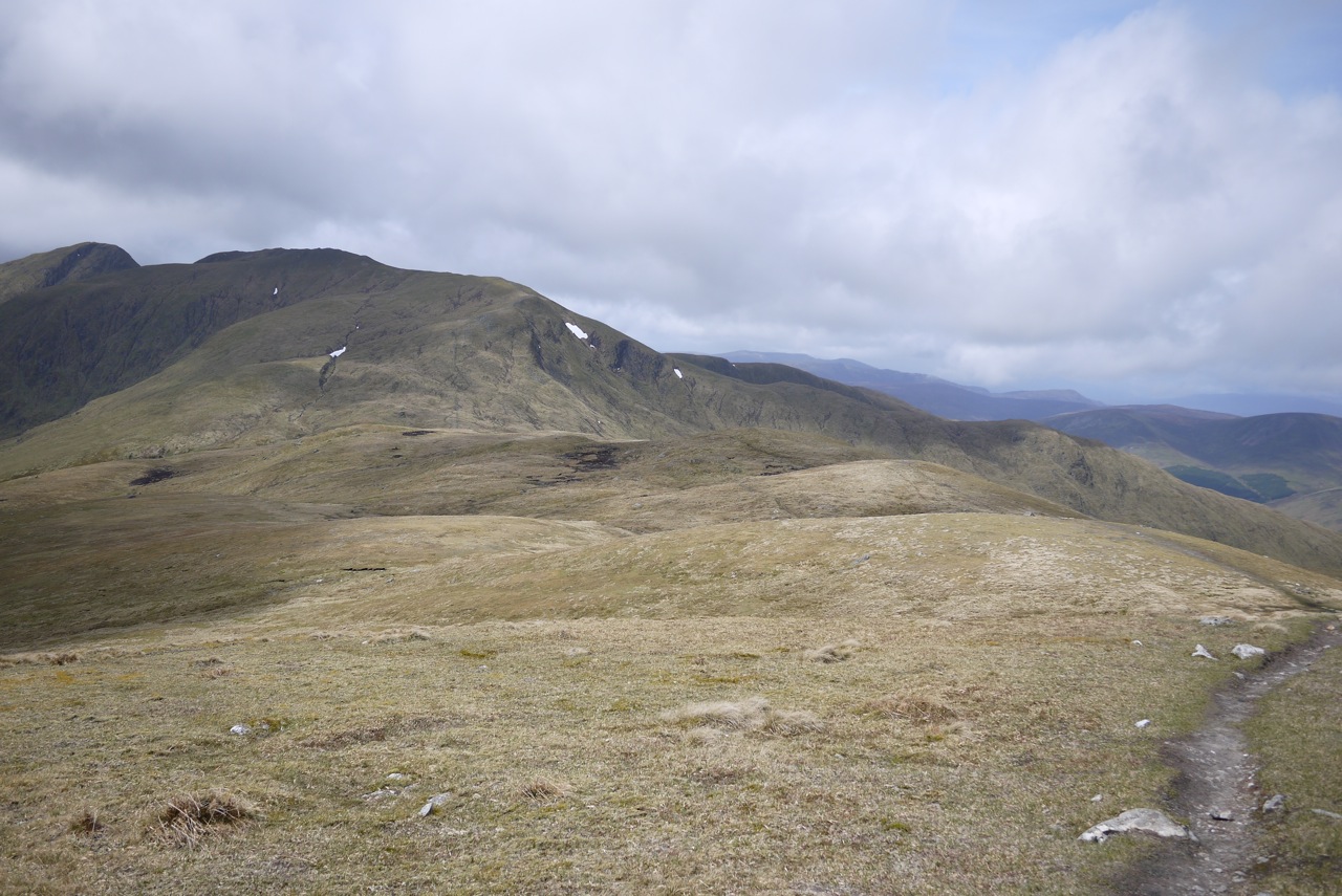
The tour of the second row of four Munros was the aim of this day. Staying on the private road along the south bank of the River Lyon we drove our car to Roromore. Works close by forced us to leave the car half a kilometre west of the farm. We followed the track past Roromore through the meadows along the River Lyon for a few kilometres, reached the large tree plantation south of the track and stayed on the track until we reached Inverinain. Maybe two hundred metres past the cottage a steep and caterpillar-marked track climbs diagonally through the trees for about 200m. At a height of 350 to 400m it turns due west and leads around the crags of Creag Dubh. Then the track zig-zags up to a height of 550m and peters out on grassy and and squishy terrain. Heading southeast first and gradually in a more southerly direction Frank and I climbed the north ridge of Meall Greigh more or less sticking to the obvious line of fence posts. The combination of undulating terrain and strong westerly winds made progress a little slower and energy consuming than we had expected. But the views were good and especially the dark north-east face of Meall Garbh was interesting. Before final pull to Meall Greigh we paused and replenished our batteries.
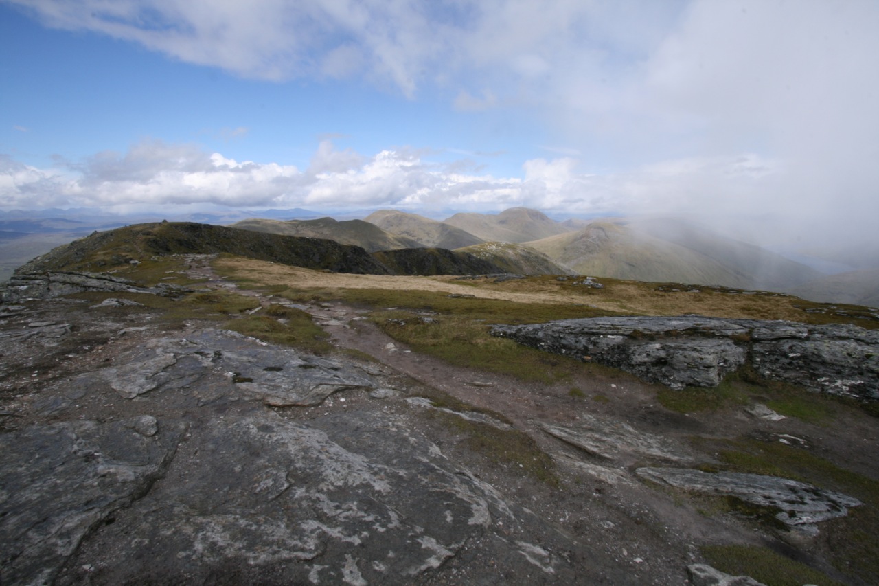
After that the main east-west ridge was not far away anymore and we were greeted by very strong winds indeed. Walking upright to Munro No. 1 of the day was not easy at all. However, finally we both touched the summit cairn and immediately retraced our steps to the beallach between Meall Greigh and Meall Garbh. There the winds eased off a bit since the bulk of Meall Garbh protected us from the worst. Up the well-defined and east … [Read More]