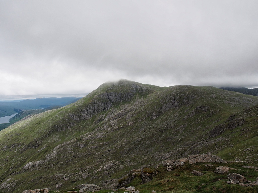
Sgurr nan Coireachan
The Corryhully Horseshoe had long been on our list of very desirable hill walks in Alba. Maybe not as grandiose as the Ring of Steall or Sgurr na Ciche but nonetheless some tour to look forward to very much. 12 June 2016 saw us go about fulfilling that plan. It was a warm day and the midges were already showing us some attention when we prepared our kick-off for the day at the parking beside the River Finnan in Glenfinnan Village. Off we went and quickly reached the viaduct which I had last seen, when Birgit, Stephanie and I had visited the eastern Munro of the Horseshoe in 1998. Harry Potter films had then not been known and the viaduct had not acquired its present notoriety.
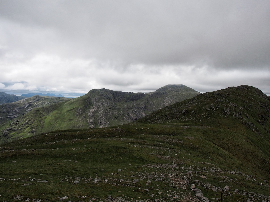
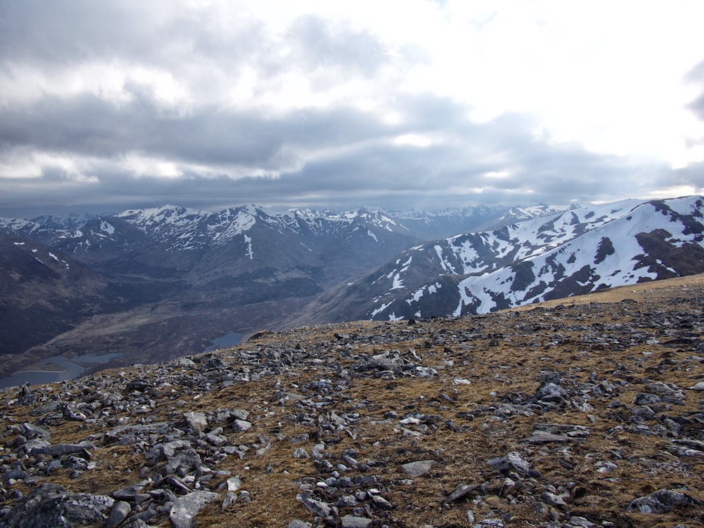
Of course progress was swift and easy. The glen is beautiful and so is the meandering River Finnan. After 45 minutes we crossed the Allt a Caol Ghleann and passed Corryhully Bothy. There the Landover track becomes a little steeper and we gained some height as we progressed another kilometre. Then, however, the cairn indicating the start of the ascent of Sgurr nan Coireachan’s steep and rocky southeast ridge appeared to the left. We deposited a bottle of water for the return leg of the hike and commenced the long climb towards the Sgurr.
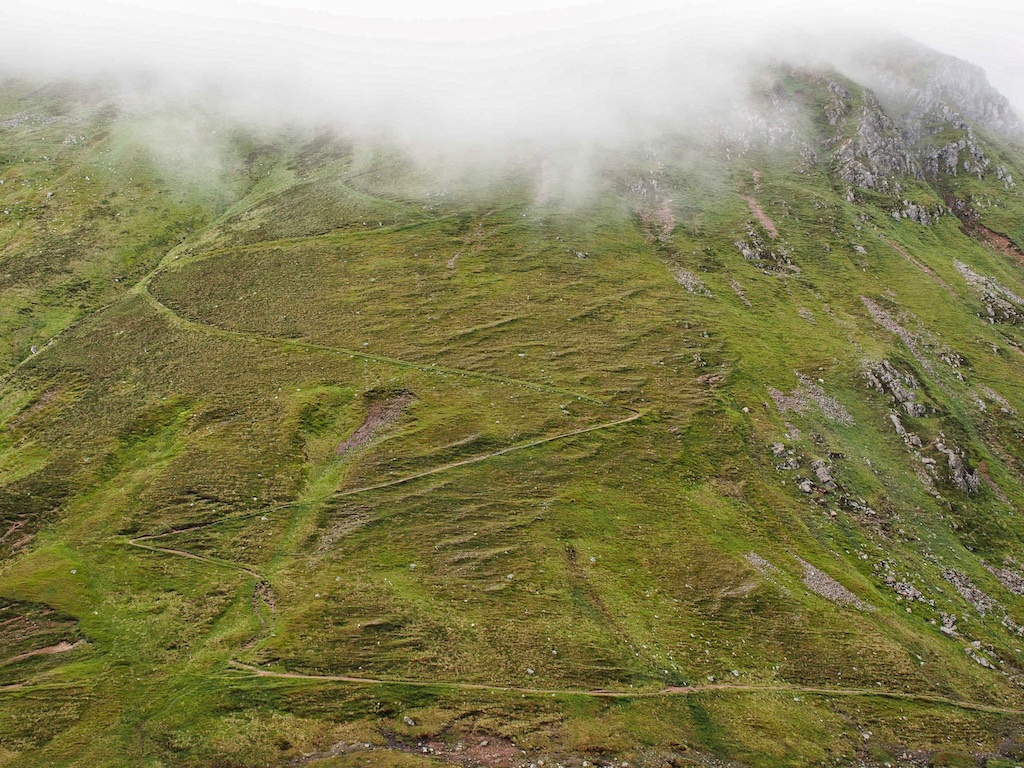
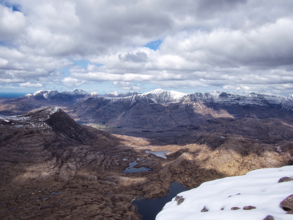
The path is rather well-engineered and there was some material left beside it which indicated that maintenance work had been done. Somebody had even left a wheel barrow there. Rising first gently and then after a major bend more pronouncedly the path climbed over several rocky steps in the ridge which took turns with slightly more level grassy sections. Soon the terrain got more and more rocky. At a spot where the path leaves the crest of the ridge to climb a few dozen metres to the west of Sgurr a’Choire Riabhaich some slightly exposed minor scrambling was called for and the very steep section of the path called for more attention as to where you put your boots. All this ended … [Read More]