Mam Sodhail
2015 was to be the year, when we wanted clear the far north of red flags (unbagged Munros on the maps of www.bgmb.de). With a few left to tick in Torridon, Fisherfield and the Ullapool hills we had a long drive north ahead of us in order to get where we wanted to: Our hunting lodge by Loch Coulin and the B&B in Ullapool to start with. But before the far north could be tackled we had unfinished business a little further south in Glen Affric which needed our attention. For me that meant Beinn Fhionnlaidh and for Frank it meant the whole group of Carn Eighe, Mam Sodhail and Beinn Fhionnlaidh. So our trip up from EDI took us to the Tomich Hotel, ideally suited as a starting point for this grand tour in Affric. We arrived early enough to sit outside, to bask in some of the warm sunshine and to have nice pint of lager. After a good meal, an early night and a full breakfast, we were at the start of the hike before ten o’clock the next morning: The parking where the Abhainn Gleann nam Fiadh flows into Loch Bheinn a’Mheadhoin.
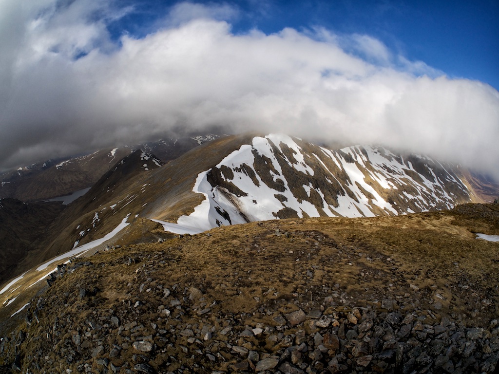
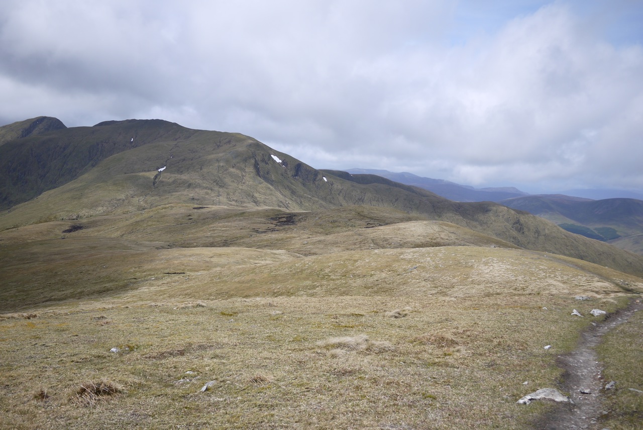
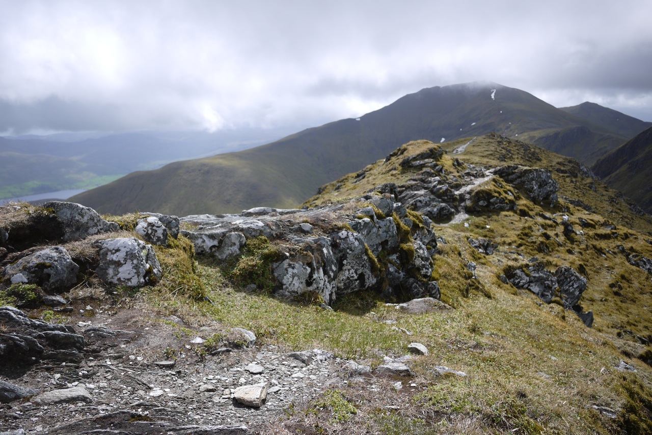
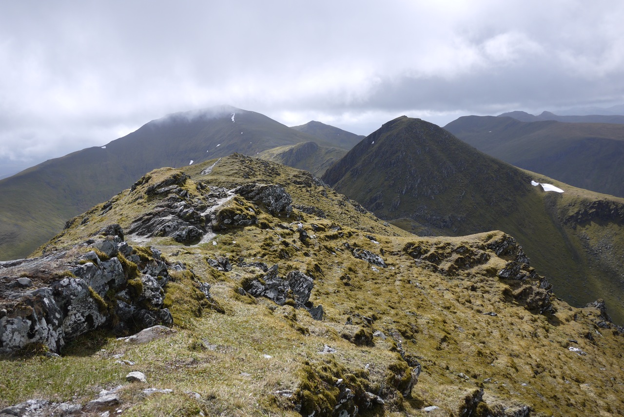
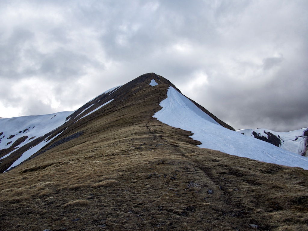
Since we had already climbed Toll Creagach and Tom a’Choinich from there years earlier the Landrover track was well known to us. We quickly made progress on this good track and reached the spot where the path by the Allt Toll Easa branches off. We continued straight ahead on the path beside the Abhainn Gleann nam Fiadh further up into the wide open corrie/moor. After two more kilometres we headed up steepish terrain on grass and snow fields leading towards the Garbh Beallach. From there we continued up narrow sections of the ridge (the stalkers’ stairway) towards Sron Garbh and Stob aí Choire Dhomhain. The ridge between these two is studded with a few rock towers which meant some pleasant scrambling or bypassing on the path provided for either of us. Soon the summit of Carn Eighe came into view. Once there we had a … [Read More]