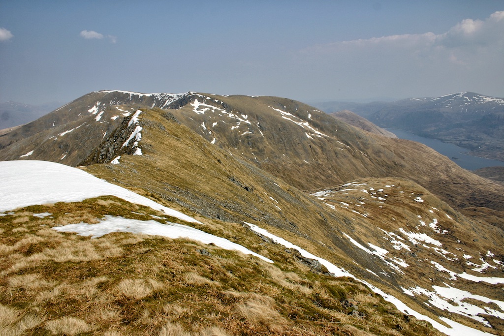
Bidein a’Choire Sheasgaich
6 June 2017 was a rather wet and windy day. It wasn’t too bad when we parked our Audi outside Attadale Gardens in the lot provided for hikers’ cars. Only later, on the hills, did the downpour really thrash us.
This early in the day, however, spirits were high. But we were also a little apprehensive of the task ahead since the cycle tour to the bothy at Bendronaig Lodge is no piece of cake. And after one kilometre on flat ground the 300m climb to the high point of the hydro road above Loch na Caillich and below Meall Ruadh (454m) started. This was steep in many sections but also had one or two stretches which provided some respite. Do I need to mention that we were overtaken by quite a few lorries making their way towards the hydro constructions further up the Glen?
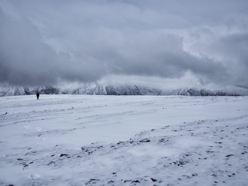
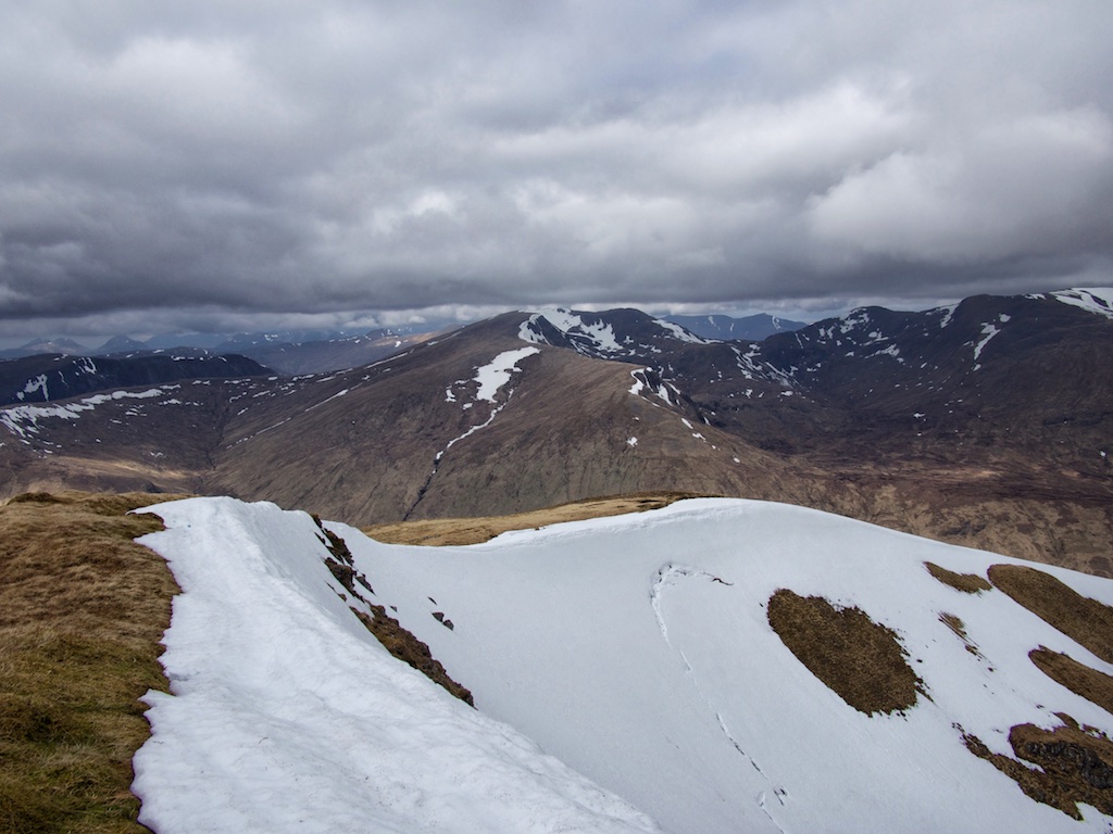
From the highpoint of the road at about 330m it was a long swoosh down to the bridge over the Black Water where the hydro construction village was situated. Another kilometre on the new hydro road got us to the bothy. There we paused, changed into hiking gear and set off in the rain towards Loch Calavie. On a better day we would have enjoyed the remoteness of the surrounding hills and the setting of the loch but on 6 June 2017 the place looked dreary to desolate. Sorry to say.
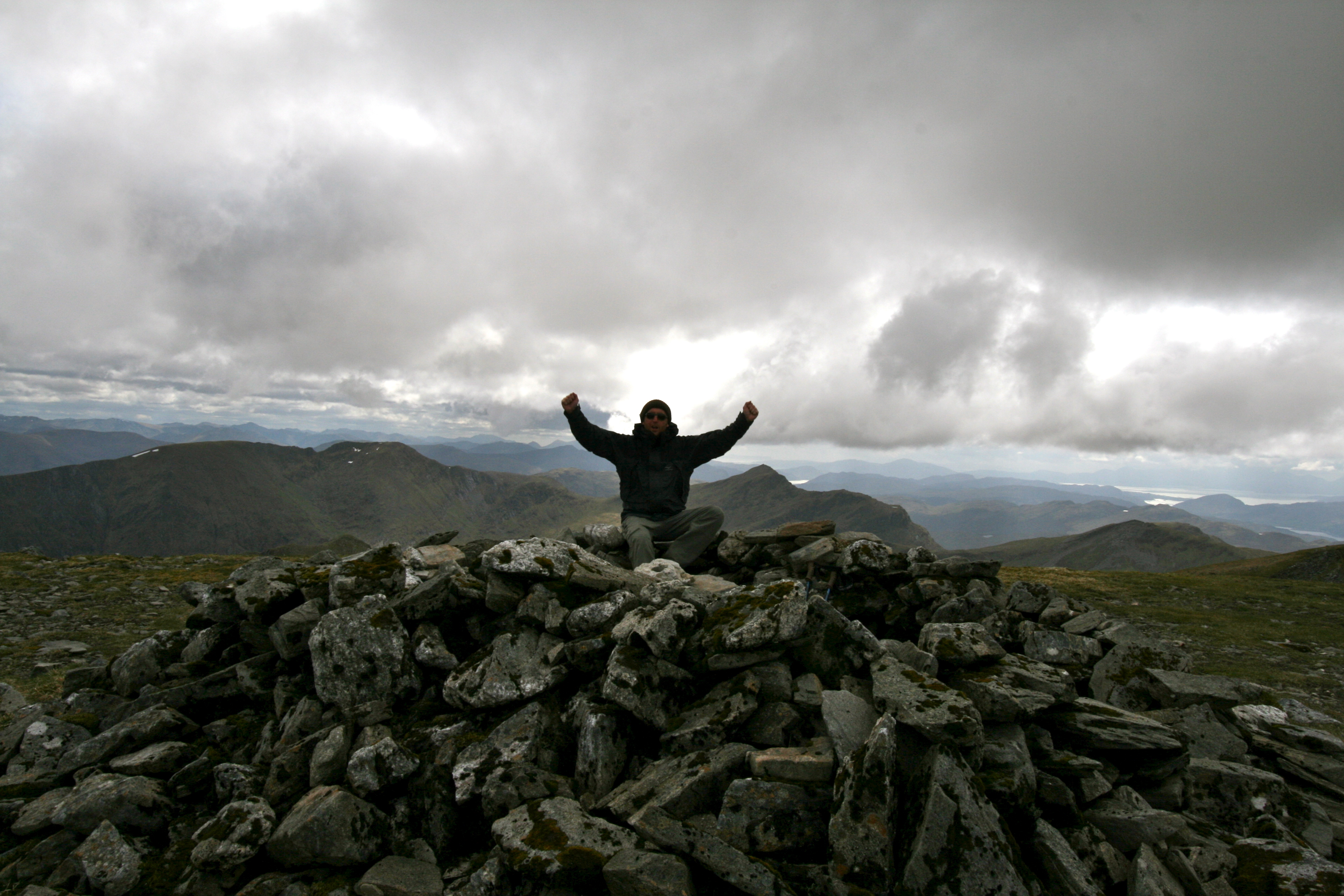
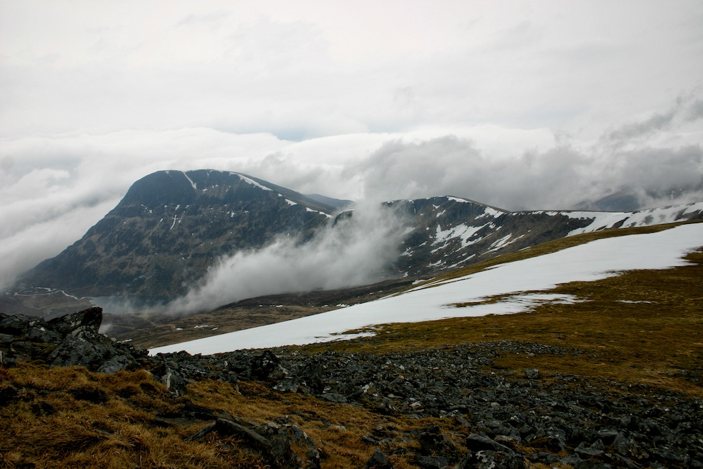
At the loch we pause for a snack and then climbed the steepish hillside beside the Allt Coire Calavie. In fact there are several small streams but the Allt Coire Calavie is the biggest and most easterly burn. For me the going was tough as the ground was soaked and the wind hit us front-on. I made it to the col between the two Munros: Cheesecake to the left (i.e. northwest), Lurg to the right (i.e. southeast). There I chatted to a group of three cheerful Scots who lifted my spirits with their kind words. I followed Frank towards Lurg Mhor first over a steeper and rockier … [Read More]