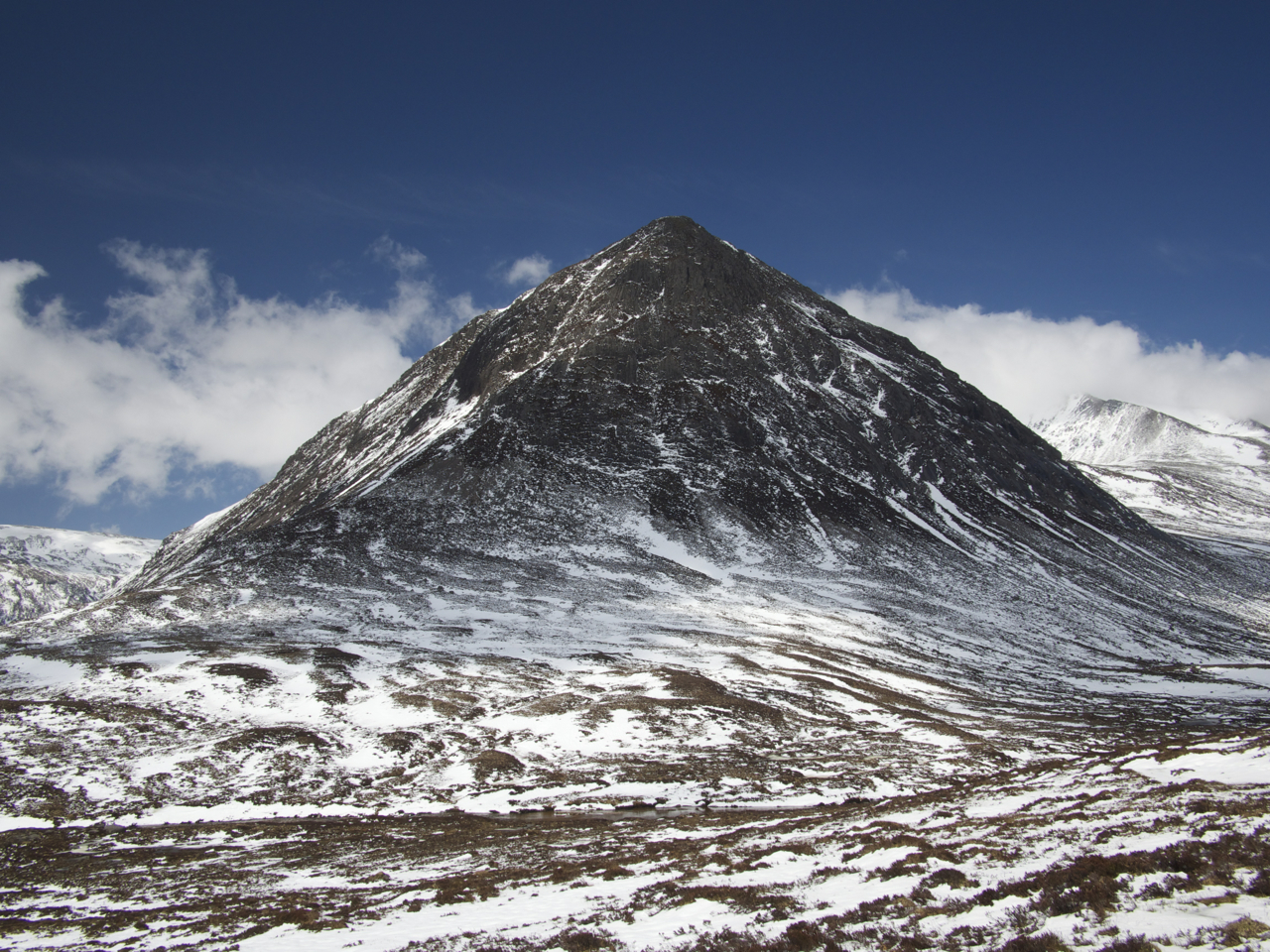
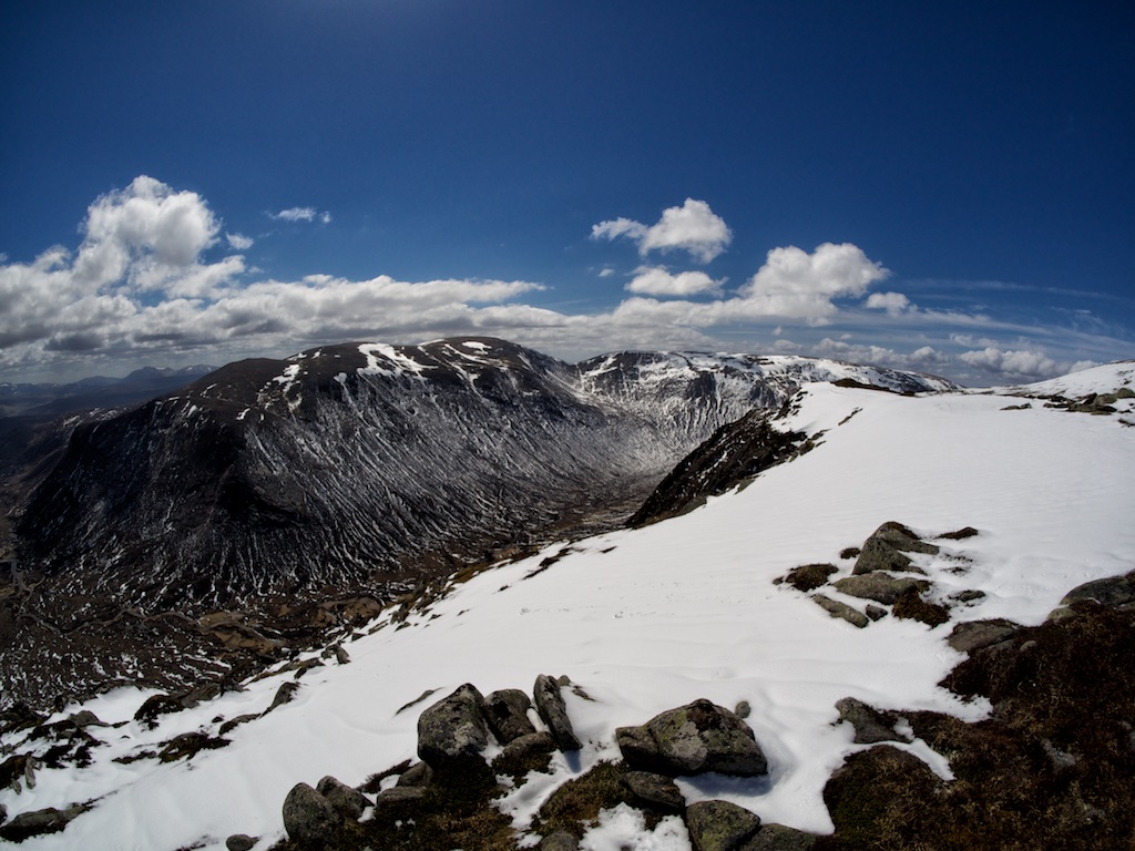
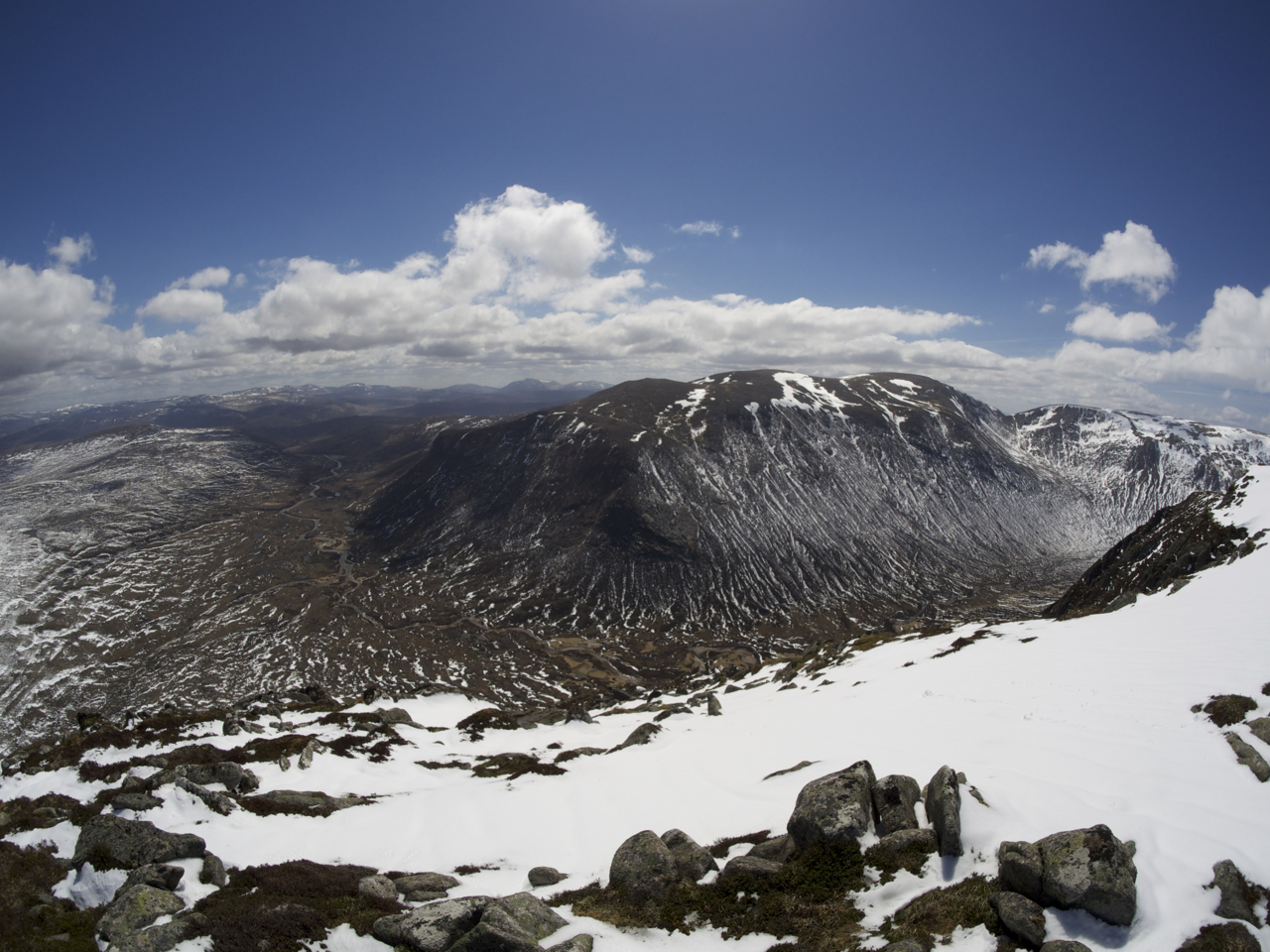
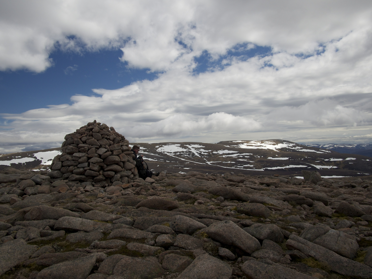
Beinn Mheadhoin

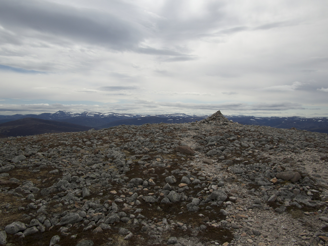
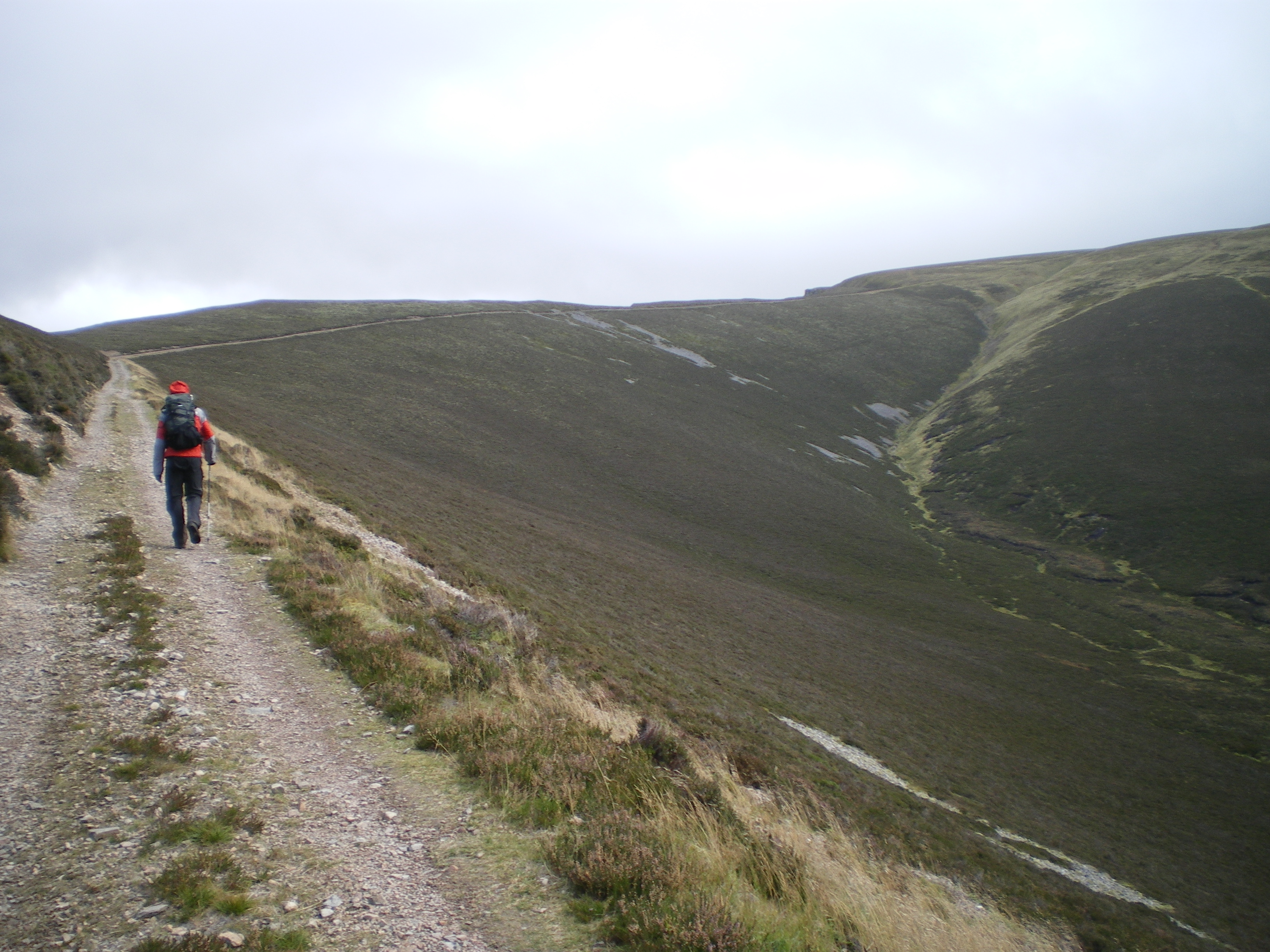
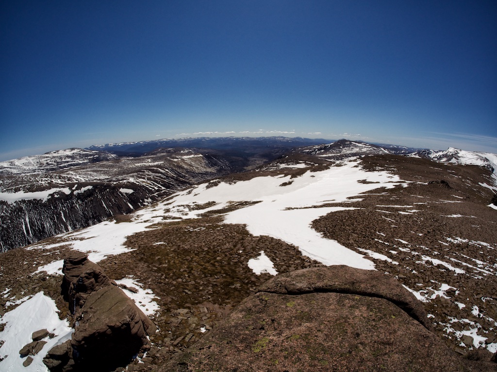
The last day of our 2013 Munro bagging campaign in the Cairngorms saw us cycling from the parking at the Linn of Dee to Derry Lodge. There we crossed the Derry Burn and continued along the path on the right bank of the tumbling waters for a further few hundred metres. When the going got too tiresome (for me at least) we left our bikes at a large tree trunk and carried on on foot.

Snow had fallen two days before and the upper slopes of the hills and basically all terrain higher than 600 metres was covered in slushy snow that melted readily under the rays of a lively sun in May. But first the well-known path up towards the Lairig an Laoigh was nice, well-maintained and progress was very easy. In no time we crossed the footbridge at the south end of the grassy flats that commence when the forest is left behind. Again, this being the Cairngorm National Park, the path was excellent. We made good headway and crossed the tumbling little burn called Glas Allt Mhor – a place we would come back to later in the day:-).

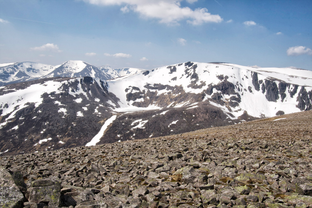
A few hundred metres past the burn the path splits and we took the left fork leading in a rising traverse towards the Hutchinson Memorial Hut in the upper corrie which is dominated by Stob Coire Etchachan and Creagan Choire Etchachan. Care was needed on this part of the hike since the high standard of maintenance means that many small draining trenches lined with stones cross the path creating deep traps well-hidden by deep snow. Then we reached the hut and continued on the steep but easy path towards Loch Etchachan which found in pristine condition: In beautiful sunshine, its surface frozen over, guarded by hills covered in white. Great, great, bloody great! This is one of the most enchanting and beautiful spots in Scotland and Frank and I both felt privileged by the fact that on our second time visiting Loch Etchachan we had our second completely sunny day. … [Read More]

2017-09-19T14:15:02+02:00May 25th, 2013|2013, 2019 - 2010, The Cairngorms|

The Devil’s Point

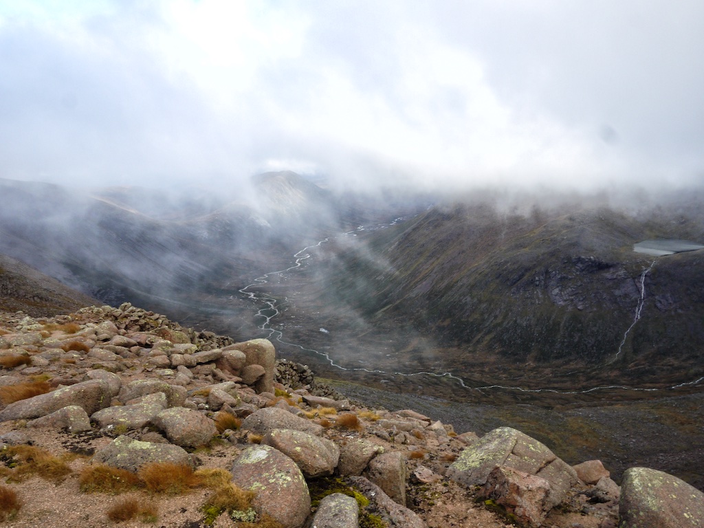
There is something special about the first ten or fifteen kilometres of the valley of the River Dee. First of all it’s the magnificent setting of the Cairngorm Mountains with its great summits of Carn á Mhaim, Ben Macdui, Braeriach, Sgor an Lochain Uaine, Cairn Toul and The Devilís Point enclosing the nascent river with their bulky shapes. But then it’s also the river itself as it makes its way towards Braemar and beyond over waterslides and down waterfalls that add to the remote and beautiful feeling of the place.

Today, fortunately, we could see all this. The day before when we had walked the path on the left bank of the river in our vain attempt to get to the mountains we had done so in driving snow and with hardly any visibility at all. We had hiked up the glen for about two hours, had reconsidered and then retreated to the Linn of Dee and our car. Now, with the sun shining on us, we again left our bicycles at White Bridge and hiked the path on the left bank of the River Dee towards Corrour Bothy. Progress was easy at first, Frank taking a wee bit of time for photographs. About opposite of Glen Geusachan the going got bad. The snow was very wet and with the terrain becoming flatter and the path a little less defined we had to wade through slush and spongy terrain. Progress got slower but with curses hissed from between our teeth from time to time we finally made it to the footbridge over the Dee and to the hut. This had taken us almost three hours. We rested on the dry grass in front of the hut and soaked in the views as well as the brilliant sunshine!

From there it was an exhausting but very beautiful slog up into Core Odhar which was filled with snow. The white stuff was one to two feet deep and trackless terrain was the order of the next half hour or so. Then we picked up … [Read More]

2017-09-19T14:15:03+02:00May 24th, 2013|1999, 2013, 2019 - 2010, The Cairngorms|

Monadh Mor

There is something special about the first ten or fifteen kilometres of the valley of the River Dee. First of all itís the magnificent setting of the Cairngorm Mountains with its great summits of Carn á Mhaim, Ben Macdui, Braeriach, Sgor an Lochain Uaine, Cairn Toul and The Devil’s Point enclosing the nascent river with their bulky shapes. But then it’s also the river itself as it makes its way towards Braemar and beyond over waterslides and down waterfalls that add to the remote and beautiful feeling of the place.

Today, fortunately, we could see all this. The day before when we had walked the path on the left bank of the river in our vain attempt to get to the mountains we had done so in driving snow and with hardly any visibility at all. We had hiked up the glen for about two hours, had reconsidered and then retreated to the Linn of Dee and our car. Now, with the sun shining on us, we again left our bicycles at White Bridge and hiked the path on the left bank of the River Dee towards Corrour Bothy. Progress was easy at first, Frank taking a wee bit of time for photographs. About opposite of Glen Geusachan the going got bad. The snow was very wet and with the terrain becoming flatter and the path a little less defined we had to wade through slush and spongy terrain. Progress got slower but with curses hissed from between our teeth from time to time we finally made it to the footbridge over the Dee and to the hut. This had taken us almost three hours. We rested on the dry grass in front of the hut and soaked in the views as well as the brilliant sunshine!

From there it was an exhausting but very beautiful slog up into Core Odhar which was filled with snow. The white stuff was one to two feet deep and trackless terrain was the order of the next half hour or so. Then we picked up … [Read More]

2017-09-19T14:15:03+02:00May 24th, 2013|2013, 2019 - 2010, The Cairngorms|

Beinn Bhrotain

There is something special about the first ten or fifteen kilometres of the valley of the River Dee. First of all itís the magnificent setting of the Cairngorm Mountains with its great summits of Carn á Mhaim, Ben Macdui, Braeriach, Sgor an Lochain Uaine, Cairn Toul and The Devilís Point enclosing the nascent river with their bulky shapes. But then it’s also the river itself as it makes its way towards Braemar and beyond over waterslides and down waterfalls that add to the remote and beautiful feeling of the place.

Today, fortunately, we could see all this. The day before when we had walked the path on the left bank of the river in our vain attempt to get to the mountains we had done so in driving snow and with hardly any visibility at all. We had hiked up the glen for about two hours, had reconsidered and then retreated to the Linn of Dee and our car. Now, with the sun shining on us, we again left our bicycles at White Bridge and hiked the path on the left bank of the River Dee towards Corrour Bothy. Progress was easy at first, Frank taking a wee bit of time for photographs. About opposite of Glen Geusachan the going got bad. The snow was very wet and with the terrain becoming flatter and the path a little less defined we had to wade through slush and spongy terrain. Progress got slower but with curses hissed from between our teeth from time to time we finally made it to the footbridge over the Dee and to the hut. This had taken us almost three hours. We rested on the dry grass in front of the hut and soaked in the views as well as the brilliant sunshine!

From there it was an exhausting but very beautiful slog up into Core Odhar which was filled with snow. The white stuff was one to two feet deep and trackless terrain was the order of the next half hour or so. Then we picked up … [Read More]

2017-09-19T14:15:03+02:00May 24th, 2013|2013, 2019 - 2010, The Cairngorms|

Beinn a’Chaorainn

Describing the start of this tour is difficult for me. Not because of maybe hazy recollections of it. Not because I have an emotional blockade. And not because I lost my books and maps which serve as necessary references. No. It is difficult for me to describe the start of the tour because I have written at least three more times about parking the car at the Linn of Dee and cycling to Derry Lodge. One could say that I lack a certain enthusiasm for describing the identical approach again and again and again.

Anyway, when we had reached Derry Lodge, for the first time in our hiking history we opted for the path on the left bank of the Derry Burn. This was a nice variation. The wooded lower reaches of Glen Derry are really enchanting with their old trees many of them Scots Pines. The going on the well-built track was easy and in no time we reached the spot where a small cairn marks the beginning of a little path that climbs up the rather gentle slope leading to the saddle between Meall an Lundain and Beinn Bhreac. First the going was “interesting” due to some rather wet and boggy sections in the path. Then, when Frank and I had gained more height, the going improved considerably. After some time we reached the section of the path where it abuts more or less abruptly at the steepish section of Beinn Bhreac’s south ridge. Here the climb became a little more strenuous for about 20 minutes or half an hour as we climbed up steep grass slopes. Then the gradient levelled off and we were on the stony plateau between the two tops of this hill, the lower one 927m, the higher one, the summit, 931m tall.

At the summit of Beinn Bhreac we sat in the sunshine and marvelled at the panorama. Most prominent of course were the western slopes of giant Beinn a’ Bhuird. To the west the east faces of the Central Cairngorm hills rose up boldly. … [Read More]

2017-09-19T14:15:03+02:00May 21st, 2013|2013, 2019 - 2010, The Cairngorms|

Beinn Bhreac

Describing the start of this tour is difficult for me. Not because of maybe hazy recollections of it. Not because I have an emotional blockade. And not because I lost my books and maps which serve as necessary references. No. It is difficult for me to describe the start of the tour because I have written at least three more times about parking the car at the Linn of Dee and cycling to Derry Lodge. One could say that I lack a certain enthusiasm for describing the identical approach again and again and again.

Anyway, when we had reached Derry Lodge, for the first time in our hiking history we opted for the path on the left bank of the Derry Burn. This was a nice variation. The wooded lower reaches of Glen Derry are really enchanting with their old trees many of them Scots Pines. The going on the well-built track was easy and in no time we reached the spot where a small cairn marks the beginning of a little path that climbs up the rather gentle slope leading to the saddle between Meall an Lundain and Beinn Bhreac. First the going was “interesting” due to some rather wet and boggy sections in the path. Then, when Frank and I had gained more height, the going improved considerably. After some time we reached the section of the path where it abuts more or less abruptly at the steepish section of Beinn Bhreac’s south ridge. Here the climb became a little more strenuous for about 20 minutes or half an hour as we climbed up steep grass slopes. Then the gradient levelled off and we were on the stony plateau between the two tops of this hill, the lower one 927m, the higher one, the summit, 931m tall.

At the summit of Beinn Bhreac we sat in the sunshine and marvelled at the panorama. Most prominent of course were the western slopes of giant Beinn a’ Bhuird. To the west the east faces of the Central Cairngorm hills rose up boldly. … [Read More]

2017-09-19T14:15:03+02:00May 21st, 2013|2013, 2019 - 2010, The Cairngorms|

Bynack More

We had started the 2013 hiking season in Scotland on a dry and sunny afternoon with one short four hour hike in the Drumochter hills (Meall Chuaich) during a break in the trip from Edinburgh to Aviemore. That had been almost as pleasant as the excellent evening in the Old Bridge Inn in Aviemore and the good restful night in the B&B close by.

Today the weather was definitely on the very murky side of things. So after breakfast and a short drive to Glenmore Lodge Frank and I set off from the end of the road towards Lochain Uaine in drizzle and intermittent rain. The going was extremely easy only the Scottish Breakfast and yesterday’s pints giving me some heartburn initially. Oh well, those inevitable ingredients of a good hiker’s daily fare are not always good for you. Never mind.

At Lochain Uaine we were quite amazed at the green colour of the Lochan’s water which as the books tell us people thought stemmed from the fairies washing their clothes there. A few hundred metres past the Lochan we turned right up the hillside heading for Bynack Stable. Since drizzle and mist enshrouded us no great views could be had so we focussed on making progress. This was rewarded with a speedy arrival at the footbridge over the nascent River Nethy which carried quite a bit of water. Over the bridge and up the excellently engineered path on Bynack More’s north ridge we went. This was a steady plod characterized by gaining metres and ticking off contour lines very nicely.

Then the path levelled off around the 800m contour and we took a branch leading away from the main path to the right. Soon the terrain became a little steeper and the path entered a more rocky terrain where lingering snowfields hid the path for stretches of 50 or 100 metres. But route finding was no difficulty even in the mist since tracks had been laid in the snow by other hikers. When the steepest section of the climb was over we … [Read More]

2017-09-19T14:15:04+02:00May 18th, 2013|2013, 2019 - 2010, The Cairngorms|

Mullach Clach a’Bhlair

The day after Braeriach – half of the party called it a recreation day. Joachim, Cord and i headed for the Mullach. The revisit to Glen Feshie was really nice and the walk along the River Feshie was lovely. Unfortunately this was all the fun of the day since the hills were covered in clouds again. The track which brought us almost entirely to the summit is a broad piece of track. Long, straight and without any sense of humor. At least it was easy going except for the strong winds which greeted us when we reached the plateau. Ironically there we almost missed the cairn which shows the way to the summit. This summit was not only due to the zero views hardly recognizable as a summit. We touched the cairn and left. The way back was the same as the way to the summit. We were happy to reach the banks of River Feshie again for the sights and the going as well. This was the last walk of the 2011.2 munrobagging session. I had hoped for better views and weather. You can’t always get what you want.

2020-01-22T08:43:47+01:00October 3rd, 2011|2011, 2019 - 2010, The Cairngorms|

Braeriach

2011 This was supposed to be the “Kaisertour” of our extended Scotland 2011 weekend. It was Kaiser but unfortunately the weather and clouds were not too kind to us.

Since i had planned to go to Cairn Toul at least if not The Devil’s Point we started very early from the lower parking place. The mood was fine, the morning mist looked beautiful and the going was easy till we reached the Chalamain Gap. This is an impressive piece of rock gap which we mastered with some effort. Soon after the gap we lost height to cross Alt Druidh to start the ascent to the ridge.

Unfortunately we were too soon engulfed in mist and this should not change for the rest of the day. Bugger. When we reached the ridge we had very little view and we used the southern edge for orientation and walking. So we reached the summit of Braeriach after 4,5h which we celebrated with an well earned rest. The conditions were not too inviting so the break was not the longest one and we started over again. Thomas and Markus called it a day and returned. I gave them my Landranger copy (to be regretted later).

The rest of the party made quite a navigational effort to continue near the ridge and try to avoid to get lost in the western Cairngorms. We succeeded in reaching the summit of Sgòr an Lochain Uaine. After a short consideration i decided to give Cairn Toul a try while Cord, Joachim and Stefan returned. They used our other map while i trusted in my iPhone and the Anquet software installed (to be regretted later).

So i did a speed as/descent of Cairn Toul. Since i did not want to reascent The Angel’s Peak i tried to walk around but due to zero views and the fact that my iPhone died in the rain i was without any mapping support. I did my best not to walk too low and too much to the south but i did not succeed. Seeing myself … [Read More]

2017-09-19T14:16:15+02:00October 2nd, 2011|1999, 2019 - 2010, The Cairngorms|

Cairn Toul

2011 This was supposed to be the “Kaisertour” of our extended Scotland 2011 weekend. It was kaiser but unfortunately the weather and clouds were not too kind to us.Since i had planned to go to Cairn Toul at least if not The Devil’s Point we started very early from the lower parking place. The mood was fine, the morning mist looked beautiful and the going was easy till we reached the Chalamain Gap. This is an impressive piece of rock gap which we mastered with some effort. Soon after the gap we lost height to cross Alt Druidh to start the ascent to the ridge.

Unfortunately we were too soon engulfed in mist and this should not change for the rest of the day. Bugger. When we reached the ridge we had very little view and we used the southern edge for orientation and walking. So we reached the summit of Braeriach after 4,5h which we celebrated with an well earned rest. The conditions were not too inviting so the break was not the longest one and we started over again.Thomas and Markus called it a day and returned. I gave them my Landranger copy (to be regreted later). The rest of the party made quiet a navigational effort to continue near the ridge and not to get lost in the western Cairngorms. We succeeded in reaching the summit of Sgòr an Lochain Uaine. After a short consideration i decided to give Cairn Toul a try while Cord, Joachim and Stefan returned. They used our other map while i trusted in my iPhone and the Anquet software installed (to be regretted later).

So i did a speed as/descent of Cairn Toul. Since i did not want to reascent The Angel’s Peak i tried to walk around but due to zero views and the fact that my iPhone died in the rain i was without any mapping support. I did my best not to walk too low and too much to the south but i did not succeed. Seeing myself already lost … [Read More]

2017-09-19T14:16:15+02:00October 2nd, 2011|1999, 2019 - 2010, The Cairngorms|
Go to Top