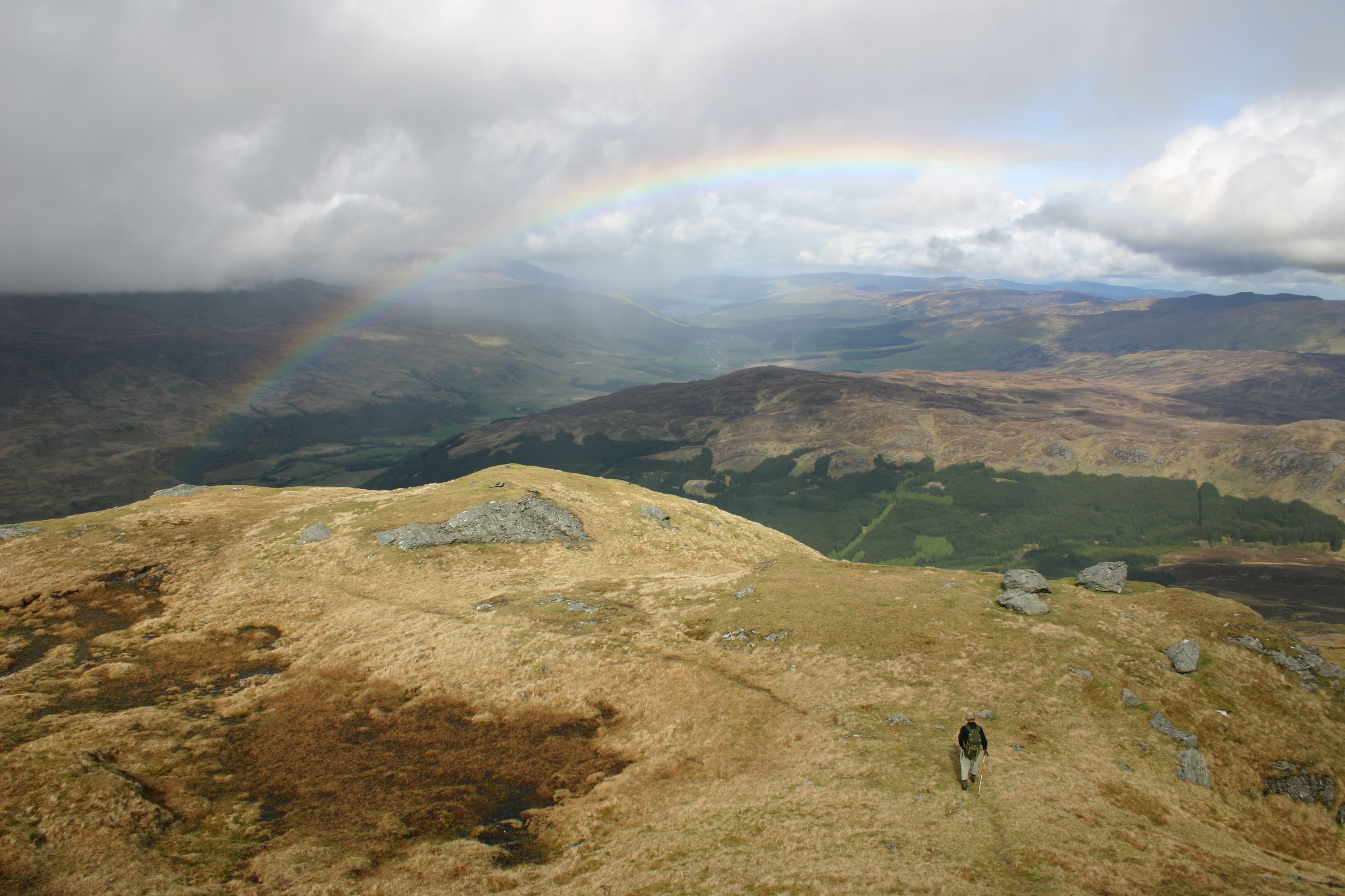
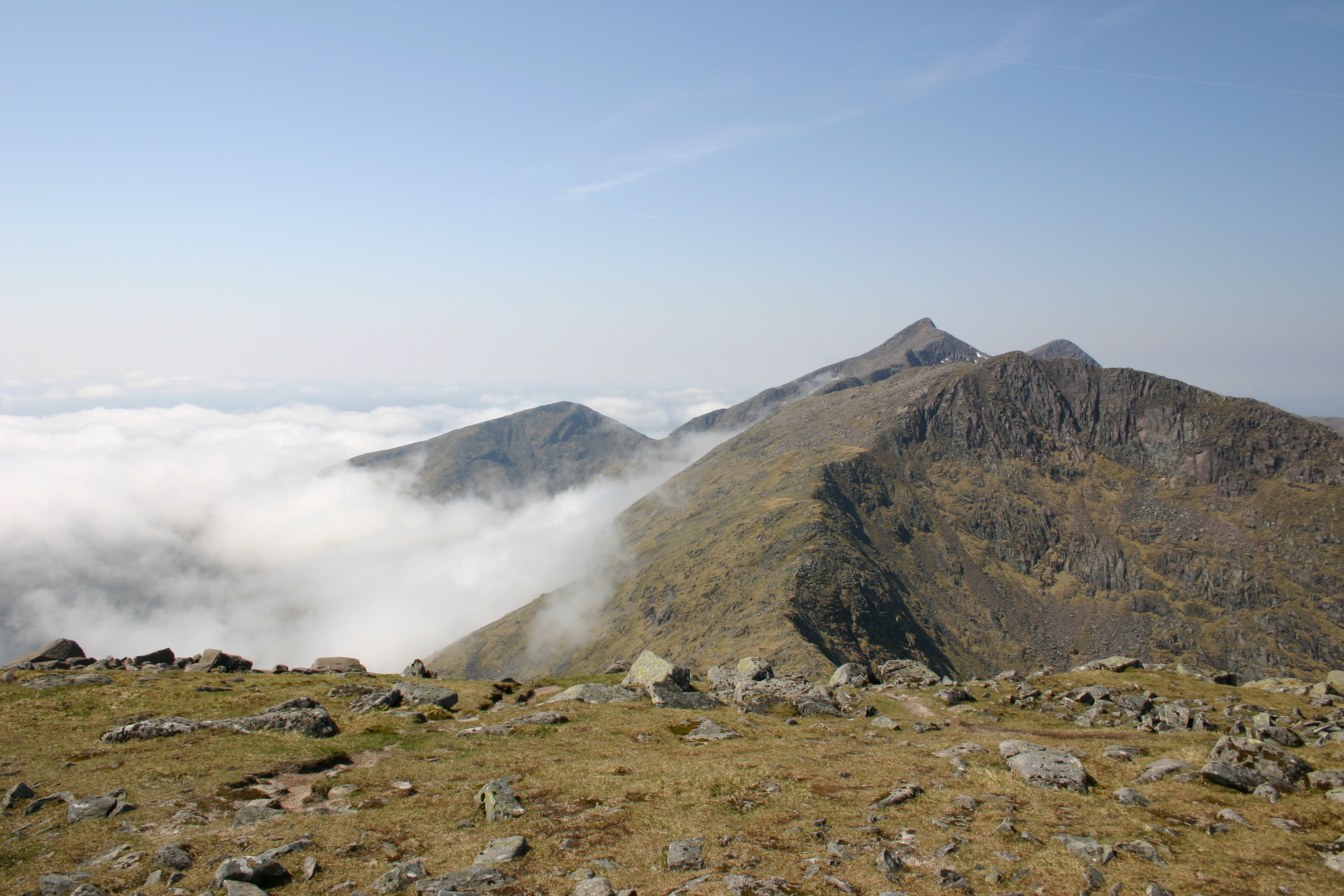
Cairn Gorm

2011 He we were again. The “Mechernich Group” and Cord on an extended weekend to enjoy and see the marvellous hills of scotland. We wanted to start with a moderate hill to get the old bones used to it. Bugger, we didn’t see anythin – but we had coffee!

From our lovely Treehouse in Boat of Garten it only took a short drive to the high level parking space an the base station of the Cairngorms ski area. I’ll never get used to those walks with these kind of infrastructure. It was very dizzy and we couldn’t see very much and this shouldn’t improve very much over the day … well we continued over skislopes and saw occasionally the skiing infrastructure.

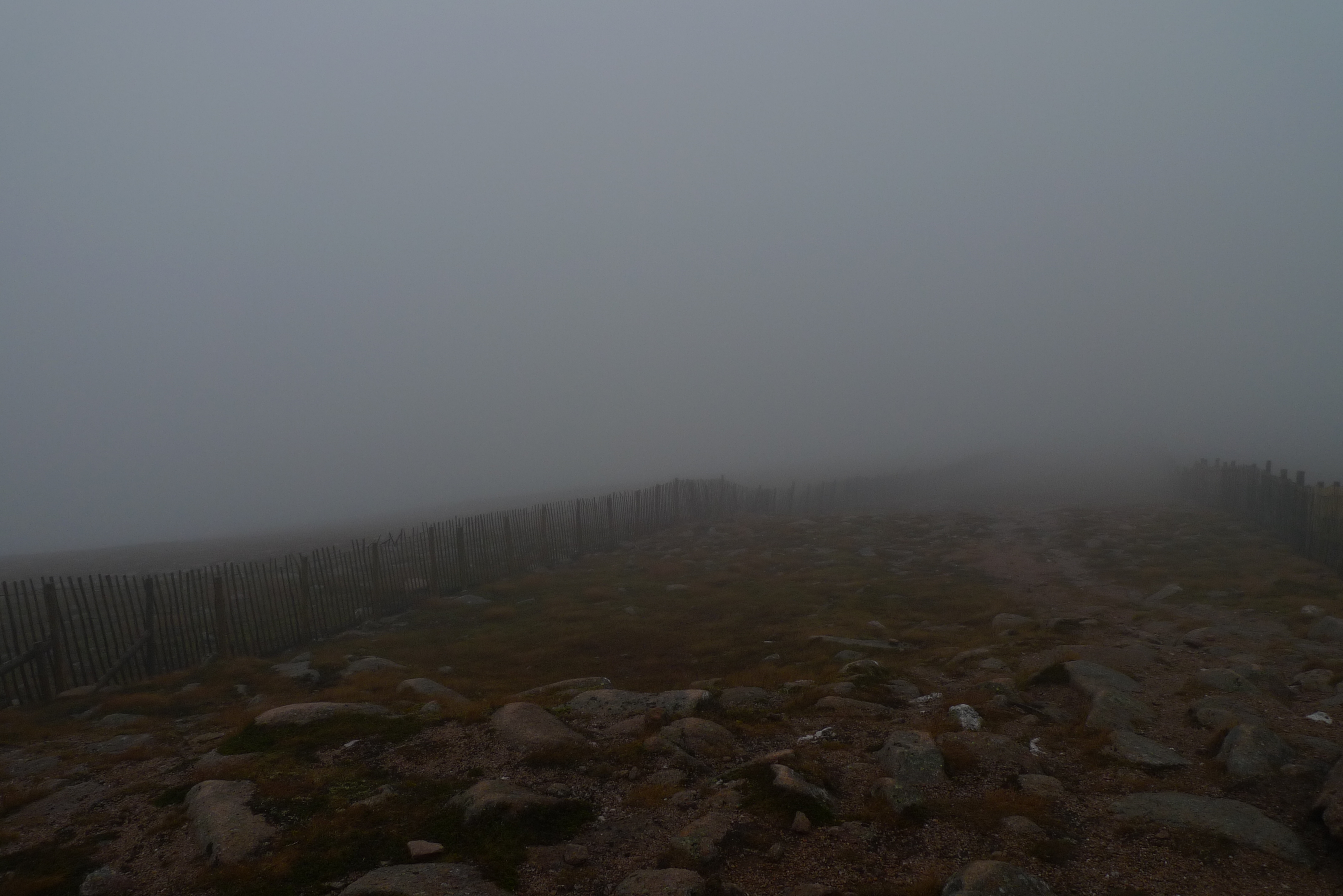
Soon the infamous Ptarmigan came in sight but we headed directly to the marked path to the summit. Quite strangely this path is marked by post signs and one ought not leave it. After a short walk we arrived at the summit where we saw nothing, absolutely nothing. So we returned at once down to the Ptarmigan where we wanted to take our snack in a sheltered corner. One of the drivers of the funicular waved us inside. So we went inside, signed the entrybook and thought about eating in the waiting room. But we entered the next level of convenience and walked downstairs to the self service restaurant where we had – quite a novelty for Cord and me – cakes and coffee in a big and warm restaurant. Strange feeling i can tell you. Not sure if i want to repeat that. It was as it was, it was indeed welcome since we were wet and cold. We stayed about a hour before we emerged to the waiting room put our raingear on and entered the wild Cairngorms again. Of course we signed off again in the entry book.

It took us about 40 minutes for returning to our cars where we changed gear again and drove back to Boat of Garten where we enjoyed a nice afternoon with tea … [Read More]

2017-09-19T14:16:15+02:00October 1st, 2011|2004, 2011, 2019 - 2010, The Cairngorms|

Ben More

Ben More and Stob Binnein (2004-05-13). We had shyed away from doing these two hills on the second day of our vacation as the weather had been uncertain and we wanted to make sure that we would get the most out of the circuit of these two famous Munros. So, after having completed six exhausting walks that week we finally set out to climb the biggest Ben More in Scotland. Us being keen on a good ridge walk and not only on bagging the two hills we had decided to do the full circle of Coire Chaorach.

We started just east of the bridge over the Allt Coire Chaorach on the A85. The track there lead into the fir plantations. After about fifteen minutes we reached the burn and crossed it by some stepping stones. The track then climbed uphill with some steep and some slightly boggy sections. There must have been some path improvements in recent years because it did not require good boots and a sense of humour (Storer) to reach the forrest edge. From that point we struck a line up the corrie heading in a south-easterly direction to join the ridge by means of an obvious grass slope leading up to Leacann Raibhach. Once on the ridge we continued in a south-westerly direction until, after some prodding around in the clouds, we reached the cairn of Stob Creagach. The terrain was a little confusing, since the ridge is quite knobby and visibility was limited to about 50 to 100 metres in the clouds. Nonetheless we decided that no real threat of getting lost existed since even our modest navigational skills should allow us to stick to a south-westerly direction and to keep clear of the steep slopes above Coire Chaorach.

The next kilometre the ridge was even more rocky and knobby. We had some route-finding difficulties but made it to the summit of Meall na Dige alright. Soon we descended a few metres to a flatter section, the bealach between this hill and Stob Coire an Lochain. Below … [Read More]

2017-09-19T14:17:54+02:00May 13th, 2004|2004, 2009 - 2000, Loch Lomond to Loch Tay|

Stob Binnein

Ben More and Stob Binnein (2004-05-13). We had shyed away from doing these two hills on the second day of our vacation as the weather had been uncertain and we wanted to make sure that we would get the most out of the circuit of these two famous Munros. So, after having completed six exhausting walks that week we finally set out to climb the biggest Ben More in Scotland. Us being keen on a good ridge walk and not only on bagging the two hills we had decided to do the full circle of Coire Chaorach.

We started just east of the bridge over the Allt Coire Chaorach on the A85. The track there lead into the fir plantations. After about fifteen minutes we reached the burn and crossed it by some stepping stones. The track then climbed uphill with some steep and some slightly boggy sections. There must have been some path improvements in recent years because it did not require good boots and a sense of humour (Storer) to reach the forrest edge. From that point we struck a line up the corrie heading in a south-easterly direction to join the ridge by means of an obvious grass slope leading up to Leacann Raibhach. Once on the ridge we continued in a south-westerly direction until, after some prodding around in the clouds, we reached the cairn of Stob Creagach. The terrain was a little confusing, since the ridge is quite knobby and visibility was limited to about 50 to 100 metres in the clouds. Nonetheless we decided that no real threat of getting lost existed since even our modest navigational skills should allow us to stick to a south-westerly direction and to keep clear of the steep slopes above Coire Chaorach.

The next kilometre the ridge was even more rocky and knobby. We had some route-finding difficulties but made it to the summit of Meall na Dige alright. Soon we descended a few metres to a flatter section, the bealach between this hill and Stob Coire … [Read More]

2017-09-19T14:17:54+02:00May 13th, 2004|2004, 2009 - 2000, Loch Lomond to Loch Tay|

Beinn Achaladair

12 May 2004 saw Frank and me driving up the private road to Achallader Farm at 9:30 a.m. The day before we had climbed the rocky ridges of Ben Cruachan and Stob Diamh. Today a different, more grassy and much longer traverse awaited us. The plan was to climb Beinn a’Chreachain, Beinn Achaladair and Beinn an Dothaidh. The weather as fine and so we walked along the track that leads to the Water of Tulla with a feeling of expectation and joy.

Two helicopters took turns in picking up material for building fences from a spot near the bridge of the A 82 over the Water of Tulla. They deposited the poles-and-wire-packages by Lochan a’Chreachain and below Meall Buidhe. We reached the Water and walked along its southern bank to the fenced enclosure of Crannach Wood.

We crossed the fence by a stile and continued uphill until a footbridge appeared by which we crossed the railway line. Then we continued on a well-trodden footpath through the beautifully open and light forrest for about 30 minutes until we reached more open ground. From there we struck a direct line up into the direction of Coire an Lochain and reached the Allt Coire an Lochain after having climbed the perimeter fence of the forrest plantations. Before tackling the steep grass slope leading to the col between point 961m and Beinn a’Chreachain we had a break and ate some of our provisions. Then, on we climbed up the ever steepening green slope.

We reached the col about 3 hours and 30 minutes after having set off from the farm and soon afterwards arrived at the summit of the first Munro where we sat down at the cairn, munched our sandwiches and enjoyed the spectacular views of Rannoch Moor, the Black Mount, the Glen Coe hills, the Mamores and distant Ben Nevis. Not to mention the Loch Laggan hills further to the east, Ben Alder and the Cairngorms visible in the northeast. A very central viewpoint. Before a couple of other walkers who … [Read More]

2017-09-19T14:17:55+02:00May 12th, 2004|2004, 2009 - 2000, The River Tay to Rannoch Moor|

Beinn an Dothaidh

12 May 2004 saw Frank and me driving up the private road to Achallader Farm at 9:30 a.m. The day before we had climbed the rocky ridges of Ben Cruachan and Stob Diamh. Today a different, more grassy and much longer traverse awaited us. The plan was to climb Beinn a’Chreachain, Beinn Achaladair and Beinn an Dothaidh. The weather as fine and so we walked along the track that leads to the Water of Tulla with a feeling of expectation and joy. Two helicopters took turns in picking up material for building fences from a spot near the bridge of the A 82 over the Water of Tulla. They deposited the poles-and-wire-packages by Lochan a’Chreachain and below Meall Buidhe. We reached the Water and walked along its southern bank to the fenced enclosure of Crannach Wood. We crossed the fence by a stile and continued uphill until a footbridge appeared by which we crossed the railway line. Then we continued on a well-trodden footpath through the beautifully open and light forrest for about 30 minutes until we reached more open ground. From there we struck a direct line up into the direction of Coire an Lochain and reached the Allt Coire an Lochain after having climbed the perimeter fence of the forrest plantations. Before tackling the steep grass slope leading to the col between point 961m and Beinn a’Chreachain we had a break and ate some of our provisions. Then, on we climbed up the ever steepening green slope. We reached the col about 3 hours and 30 minutes after having set off from the farm and soon afterwards arrived at the summit of the first Munro where we sat down at the cairn, munched our sandwiches and enjoyed the spectacular views of Rannoch Moor, the Black Mount, the Glen Coe hills, the Mamores and distant Ben Nevis. Not to mention the Loch Laggan hills further to the east, Ben Alder and the Cairngorms visible in the northeast. A very central viewpoint. Before a couple of other walkers … [Read More]

2019-01-08T08:43:46+01:00May 12th, 2004|2004, 2009 - 2000, The River Tay to Rannoch Moor|

Beinn a’Chreachain

12 May 2004 saw Frank and me driving up the private road to Achallader Farm at 9:30 a.m. The day before we had climbed the rocky ridges of Ben Cruachan and Stob Diamh. Today a different, more grassy and much longer traverse awaited us. The plan was to climb Beinn a’Chreachain, Beinn Achaladair and Beinn an Dothaidh. The weather as fine and so we walked along the track that leads to the Water of Tulla with a feeling of expectation and joy. Two helicopters took turns in picking up material for building fences from a spot near the bridge of the A 82 over the Water of Tulla. They deposited the poles-and-wire-packages by Lochan a’Chreachain and below Meall Buidhe.

We reached the Water and walked along its southern bank to the fenced enclosure of Crannach Wood. We crossed the fence by a stile and continued uphill until a footbridge appeared by which we crossed the railway line. Then we continued on a well-trodden footpath through the beautifully open and light forrest for about 30 minutes until we reached more open ground. From there we struck a direct line up into the direction of Coire an Lochain and reached the Allt Coire an Lochain after having climbed the perimeter fence of the forrest plantations. Before tackling the steep grass slope leading to the col between point 961m and Beinn a’Chreachain we had a break and ate some of our provisions. Then, on we climbed up the ever steepening green slope. We reached the col about 3 hours and 30 minutes after having set off from the farm and soon afterwards arrived at the summit of the first Munro where we sat down at the cairn, munched our sandwiches and enjoyed the spectacular views of Rannoch Moor, the Black Mount, the Glen Coe hills, the Mamores and distant Ben Nevis. Not to mention the Loch Laggan hills further to the east, Ben Alder and the Cairngorms visible in the northeast. A very central viewpoint.

Before a couple of other walkers … [Read More]

2017-09-19T14:17:54+02:00May 12th, 2004|2004, 2009 - 2000, The River Tay to Rannoch Moor|

Stob Diamh

Stob Diamh and Ben Cruachan were the hills of 11 May 2004. The BBC weatherforecast had predicted some morning clouds and clear skies for the second part of the day. So, we parked our car in the lay-by close to the railway station below the Falls of Cruachan in morning mist. The effect of the Ring of Steall done the day before were still giving my muscles a hard time. On the path that leads up the eastern bank of the burn we climbed steeply through trees close to the gorge of the Falls. This path is steep indeed and not to be recommended as an easy start for the day.

After about 300m the path levelled off, left the wooded area and then the Cruachan Dam came into view. We reached the Cruachan Dam access road and walked on the tarmac to the dam where we followed the path along the eastern side of the reservoir. We soon reached the spot where the path branches off to the east and up the hillside. At around 500m the clouds engulfed us. Soon afterwards we stopped for a snack close  to some rocks. Then, up the path we went, heading as good as we possibly could in the fog and clouds for the ridge leading up to Stob Garbh.

At about 800m the cloud cover started shifting and we had some glimpses of the peaks – Beinn a’Bhùiridh being the first, then the ridge to Stob Garbh and finally Ben Cruachan to the west. Soon afterwards we cleared the clouds for good and walked up to Stob Garbh and then to Stob Diamh above a sea of white clouds. Marvellous, it almost looked like a temperature inversion in winter. At the summit of Stob Diamh Frank and I ate half of our sandwiches and enjoyed the prospect of a long ridge-walk in the sunshine.

Enthusiasm soon drove us on over Drochaid Ghlas and some interesting views of Coire Caorach opened up at the top of this intermediate top. In due time we reached the … [Read More]

2017-09-19T14:17:55+02:00May 11th, 2004|2004, 2009 - 2000, Strath Orchy to Loch Leven|

Ben Cruachan

Stob Diamh and Ben Cruachan were the hills of 11 May 2004. The BBC weatherforecast had predicted some morning clouds and clear skies for the second part of the day. So, we parked our car in the lay-by close to the railway station below the Falls of Cruachan in morning mist. The effect of the Ring of Steall done the day before were still giving my muscles a hard time. On the path that leads up the eastern bank of the burn we climbed steeply through trees close to the gorge of the Falls. This path is steep indeed and not to be recommended as an easy start for the day.

After about 300m the path levelled off, left the wooded area and then the Cruachan Dam came into view. We reached the Cruachan Dam access road and walked on the tarmac to the dam where we followed the path along the eastern side of the reservoir. We soon reached the spot where the path branches off to the east and up the hillside. At around 500m the clouds engulfed us. Soon afterwards we stopped for a snack close  to some rocks. Then, up the path we went, heading as good as we possibly could in the fog and clouds for the ridge leading up to Stob Garbh.

At about 800m the cloud cover started shifting and we had some glimpses of the peaks – Beinn a’Bhùiridh being the first, then the ridge to Stob Garbh and finally Ben Cruachan to the west. Soon afterwards we cleared the clouds for good and walked up to Stob Garbh and then to Stob Diamh above a sea of white clouds. Marvellous, it almost looked like a temperature inversion in winter. At the summit of Stob Diamh Frank and I ate half of our sandwiches and enjoyed the prospect of a long ridge-walk in the sunshine.

Enthusiasm soon drove us on over Drochaid Ghlas and some interesting views of Coire Caorach opened up at the top of this intermediate top. In due time we reached the … [Read More]

2017-09-19T14:17:55+02:00May 11th, 2004|2004, 2009 - 2000, Strath Orchy to Loch Leven|

Am Bodach

2004 On a sunny morning, half past nine, Frank and I reached the end of the road in Glen Nevis and parked our car. Putting on our gear we looked around, glimpsed views of the surrounding summits through the lifting clouds and finally started the tour, heading into Glen Nevis. We crossed the river by means of the wire bridge, then crossed the Allt Coire a’Mhail below the Steall Waterfall and picked up the path leading into the northern corrie of An Gearanach. This path heads up into the corrie over terrain characterized by gravel, grass and slabs. Higher up in the corrie it zigzags until after one final right turn the ridge is reached leading steeply onwards to An Gearanach. Here the view opened up.

The weather conditions being as they were the Ring of Steall, Ben Nevis, Carn Mor Dearg, the Aonachs and the southern flank of the Grey Corries sprang into full view. Alas, the summit had to be gained and so we continued up the last 300m to the summit of An Gearanach. A snack replenished exhausted reserves of carbohydrates and then we headed on to An Garbanach. This section of the ring provided most of the fun as scrambling goes and was far more interesting than the Devil’s ridge. All too soon we reached the more spacious summit of Stob Coire a’Chairn from where our eyes explored the eastern part of the Mamores with Binnein Mor and Na Gruagaichean standing out as the major attractions. And on we went over some bump in the ridge before we had to tackle the north-east ridge of Am Bodach which is really quite steep, rocky and has some sections strewn with scree. But steep terrain allows quick gain of height and in no time at all we banged into the summit of this third Munro of the day. No real rest here.

On the way to Sgur an Iubhair we met a dozen elderly hikers who were doing the ring in the opposite direction and who … [Read More]

2017-09-19T14:17:55+02:00May 10th, 2004|2004, 2009 - 2000, Loch Linnhe to Loch Ericht|

An Gearanach

On a sunny morning, half past nine, Frank and I reached the end of the road in Glen Nevis and parked our car. Putting on our gear we looked around, glimpsed views of the surrounding summits through the lifting clouds and finally started the tour, heading into Glen Nevis. We crossed the river by means of the wire bridge, then crossed the Allt Coire a’Mhail below the Steall Waterfall and picked up the path leading into the northern corrie of An Gearanach. This path heads up into the corrie over terrain characterized by gravel, grass and slabs. Higher up in the corrie it zigzags until after one final right turn the ridge is reached leading steeply onwards to An Gearanach. Here the view opened up.

The weather conditions being as they were the Ring of Steall, Ben Nevis, Carn Mor Dearg, the Aonachs and the southern flank of the Grey Corries sprang into full view. Alas, the summit had to be gained and so we continued up the last 300m to the summit of An Gearanach. A snack replenished exhausted reserves of carbohydrates and then we headed on to An Garbanach. This section of the ring provided most of the fun as scrambling goes and was far more interesting than the Devil’s ridge. All too soon we reached the more spacious summit of Stob Coire a’Chairn from where our eyes explored the eastern part of the Mamores with Binnein Mor and Na Gruagaichean standing out as the major attractions.

And on we went over some bump in the ridge before we had to tackle the north-east ridge of Am Bodach which is really quite steep, rocky and has some sections strewn with scree. But steep terrain allows quick gain of height and in no time at all we banged into the summit of this third Munro of the day. No real rest here. On the way to Sgur an Iubhair we met a dozen elderly hikers who were doing the ring in the opposite direction and who seemed to be enjoying themselves … [Read More]

2017-09-19T14:17:55+02:00May 10th, 2004|2004, 2009 - 2000, Loch Linnhe to Loch Ericht|
Go to Top