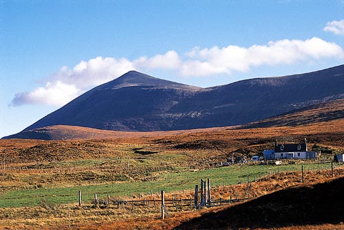
Eididh nan Clach Geala
The 2009 outing slowly coming to an end Frank and I set out to climb the last Munro of the Beinn Dearg Group which we had not climbed yet – Eididh nan Clach Geala. Again we started our climb at the parking at Inverlael. On a different note it is funny to remember that we never managed to start any of our several tours to the Beinn Dearg group via the scenic Loch Droma approach and the south ridge of Cona Mheall. Always the Inverlael forrest road tramp. But, ok, Glen Squaib is beautiful, too. There were major works going on in the bed of the River Lael. Lorries and caterpillars, oh my. We reached the end of the forrest road where a lot of new concrete was used to tame the river and slow the water carrying rocks down the glen.
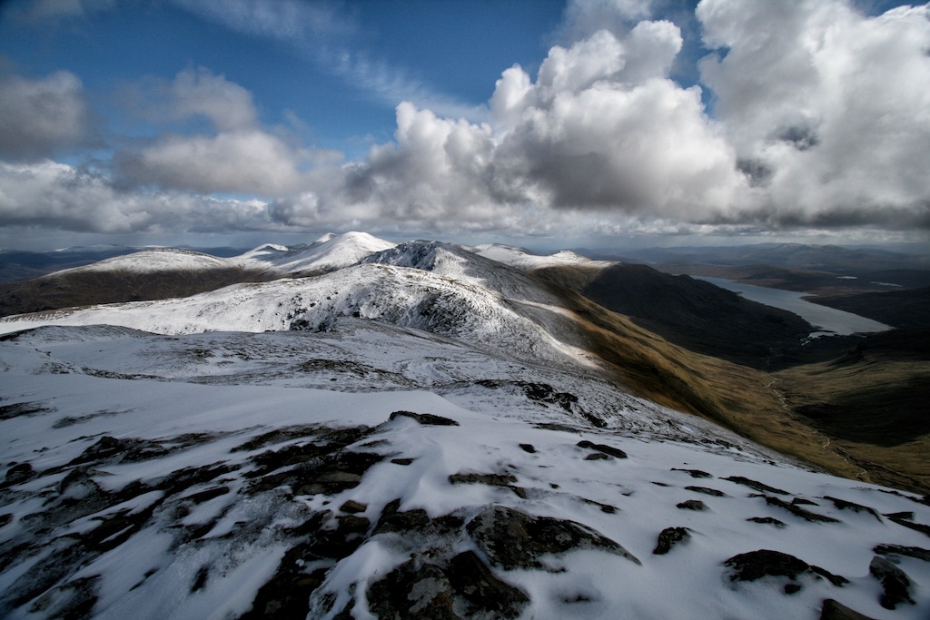
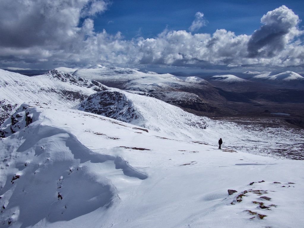
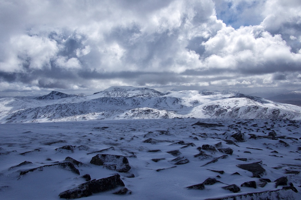
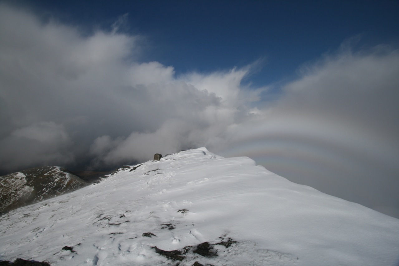
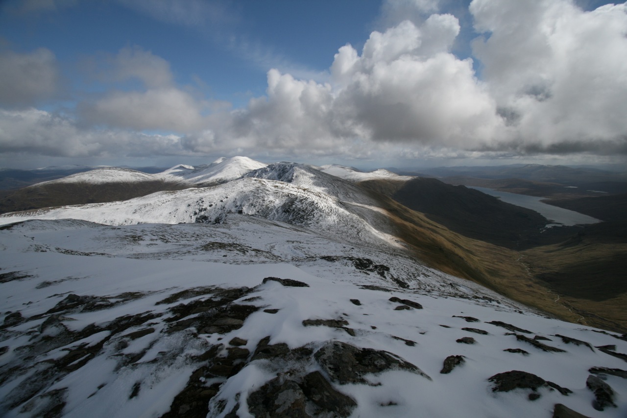
We continued climbing steadily on the well-known path. After an hour and a half we reached the cairn where the well-engineered path leading to Lochan a Chnapaich branches off. We gained height quite nicely and after less than two hours the Loch came into view. This loch has a fine position between the craggy northwest face of Meall nan Ceapraichean and the south face of Eididh nan Clach Geala. Where the path starts its descent towards the loch we left it and headed in a north easterly direction up the heathery slope of the west ridge of todays Munro. The first 100 metres were steep but then the terrain levelled off when we reached the crest of the ridge. Soon we got to the final steep stretch of slope before the summit. There we met an American climber whom we had talked to three days before. He was doing the hills in these parts alone – a few days before he’d been to Seana Braigh in zero visibility. What a waste: this great hill and no views! Anyway! We got to the summit of Eididh nan Clach Geala, touched the summit cairn and rested in the lee of the … [Read More]