Meall na Teanga

The second hike of 2016 was scheduled for a set of two Munros which I had visited twice before on each occasion bagging one of them. I had climbed one with Alex (Sron) and the other one with Mike (Meall). Today Frank and I were to combine them in one hike from the Cam Bealach (or at least Frank had to combine them since he still needed the ticks in his list).

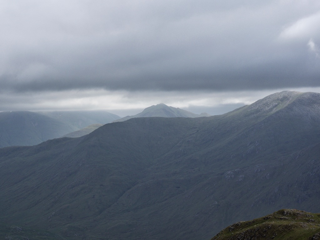
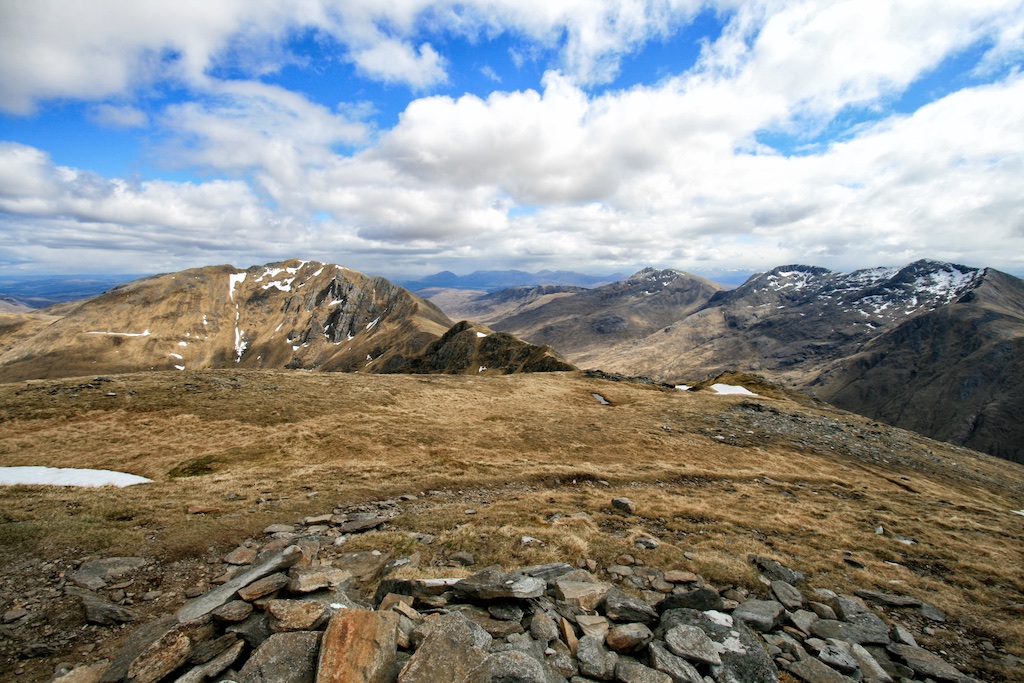
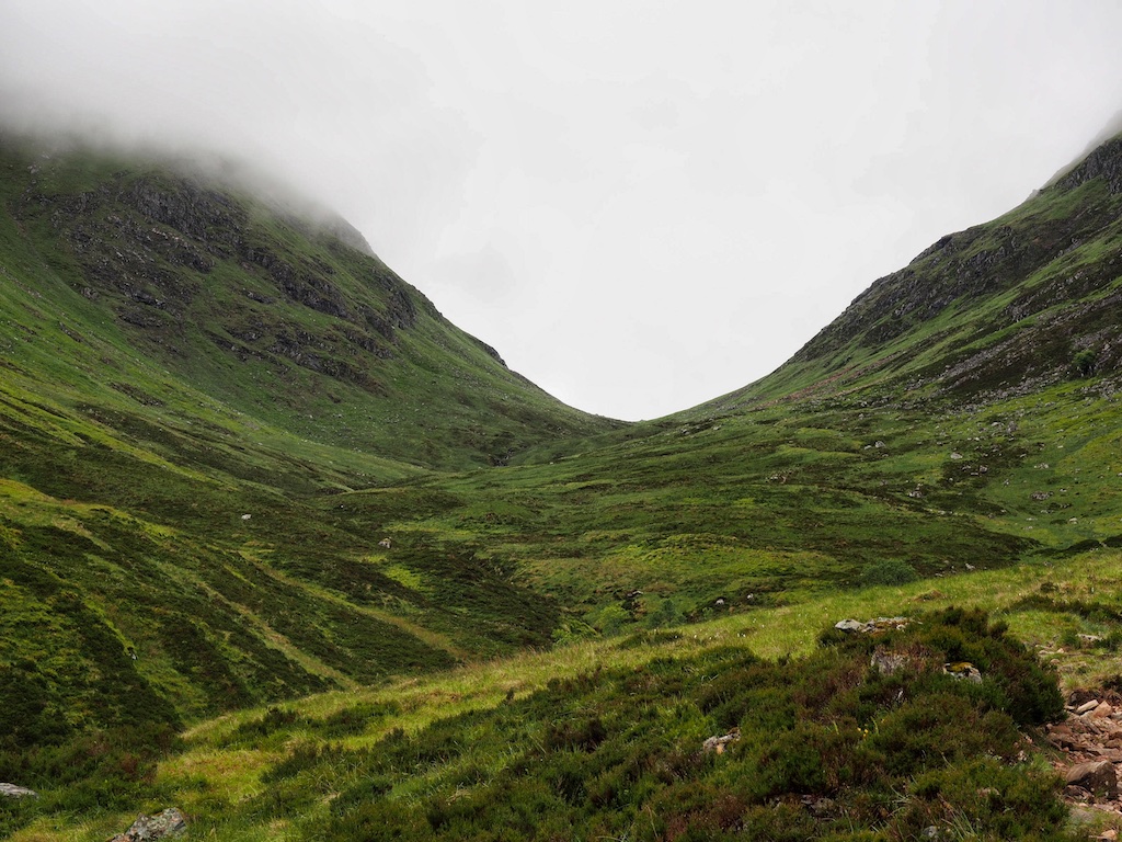
From the parking just before the farm in Kilfinnan we followed the usual approach on the forest road, passing a few holiday homes or huts and then took the upper branch of the road through the dense fir plantation. It was an overcast day and occasionally a few drops of rain fell from the clouds. When three or three and a half kilometres were behind us we left the road took the good path branching off to the right and started the climb beside the Allt Glas-Dhoire. This path is steep at first but soon after you leave the forest the gradient eases. The continuation up the Cam Bhealach is quite scenic since both Sean Mheall to the north and Beall Dubh to the south of the glen hold interest for the wandering eye with their rocky faces and gullies. We made good progress and after maybe six kilometres were covered we reached the bealach between the two hills.

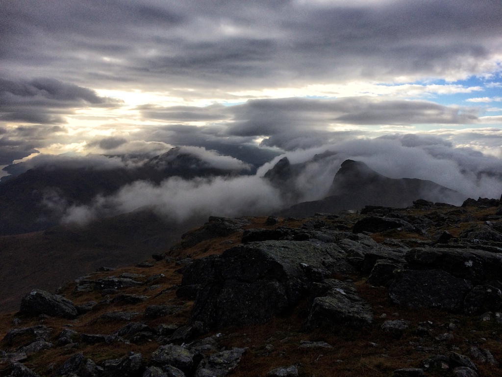
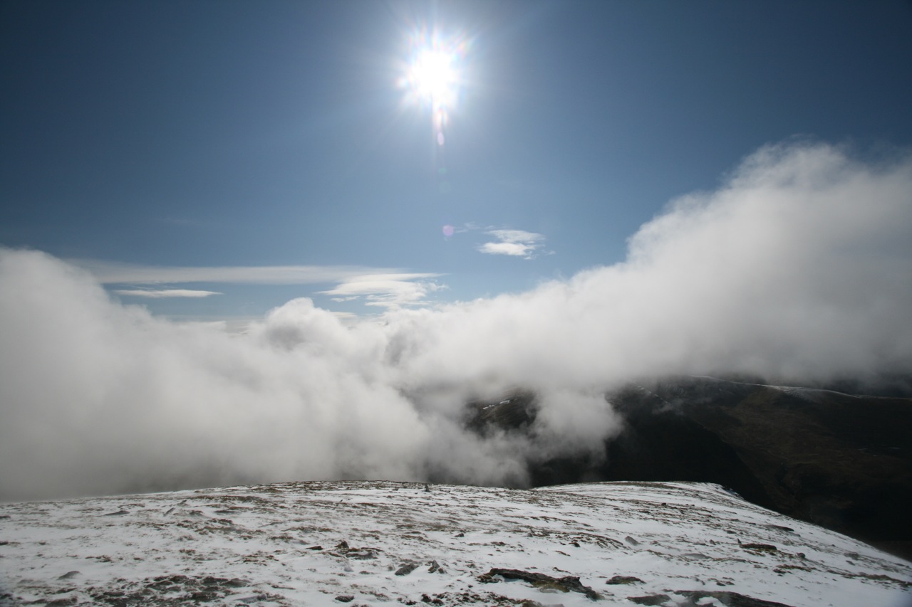
Here I decided that one Munro would be enough for today (no summit views) and Frank set of towards Sron aíChoire Ghairbh climbing the very well-engineered stalkers (?) path which leads almost all the way to the summit ridge and level summit of the Munro. I lay down in a comfortable spot close to the bealach and dozed for maybe 40 minutes. Then another walker reached the bealach also from the Loch Lochy side and we chatted a bit.

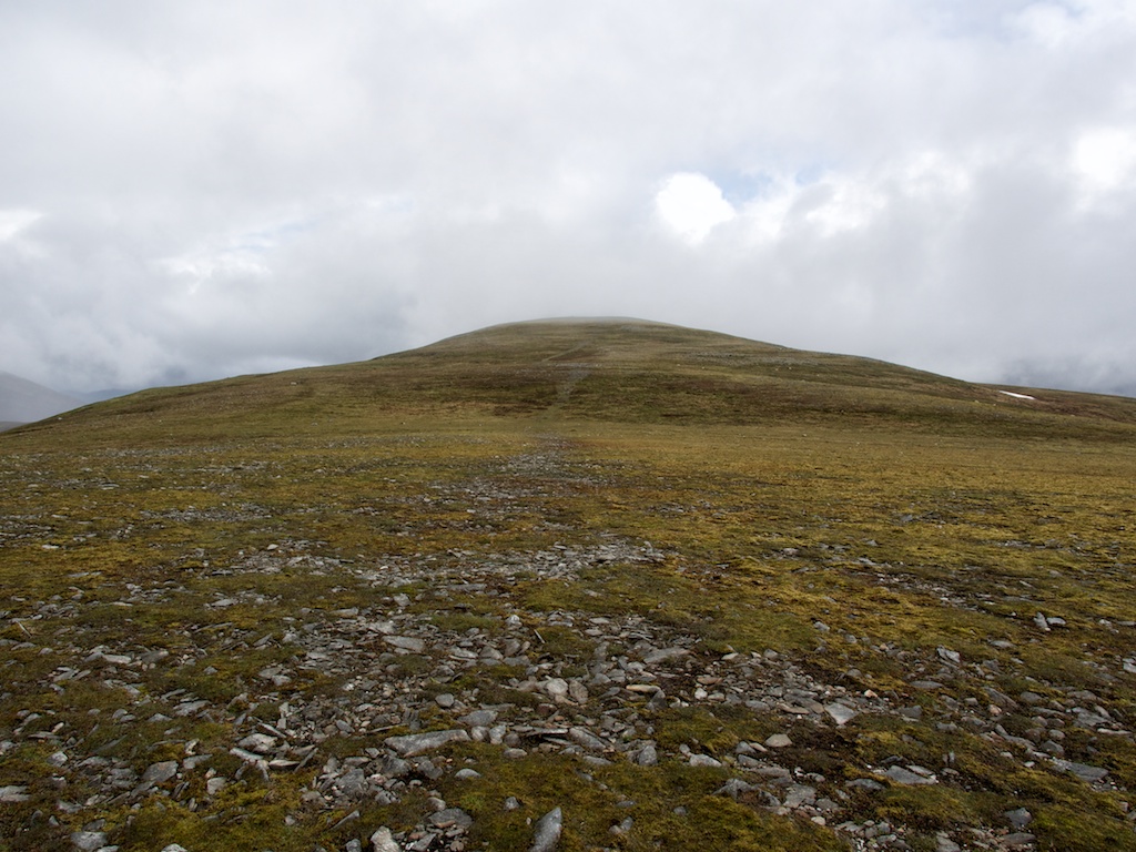
Soon Frank was back, we took a short break and then left our rucksacks in the vicinity of the bealach. The continuation to Meall na Teanga involved a steepish climb up the northwest … [Read More]

2017-09-19T14:14:58+02:00June 11th, 2016|2002, 2016, 2019 - 2010, Loch Eil to Glen Shiel|

Ciste Dhubh

We started the first hike of 2016 basically from the Cluanie Inn where we had spent the night. The day before we had arrived in Scotland at Edinburghís Turnhouse Airport and had driven up to Loch Cluanie in a leisurely fashion. Having arrived early enough meant we could even take a pint at a picnic table in front of the Inn before lunch. A relaxed start to the “nine days nine hikes”-holiday.

We started the climb of A’Chralaig from the parking on the north side of the A 87 which is close to the bridge over the Allt a’Chaorainn Mhoir. A few metres on the public footpath to Alltbeithe Youth Hospital in Glen Affric were enough: We immediately found the small cairn that marks the path leading up to the southeast ridge of A’Chralaig. This path climbed steeply beside a burn up to the high ridge above. The going was easy enough, the ground being relatively dry. Steadily we climbed along the burn. Once on the ridge proper the terrain became more and more stony. Much of the ascent was spent in clouds and fog but very occasionally views of Loch Cluanie, Am Bathach and (higher up on the ridge) of the Munros further to the east could be had. Then, after some considerable exertion at least on my part, the *massive* cairn of A’Chralaig came into view. Visions of my first climb of this Munro almost 20 years ago in late December 1998 sprang up from my memory. It had been a snowy and icy affair which I only managed to complete thanks to a pair of crampons I had packed. That had been my first solo Munro and my first solo Munro in winter at the same time!

We faced no such challenges this day. After five minutes at the summit (no views) we continued along the ridge towards Stob Choire na Chralaig. The ridge was very well-defined and some nice and narrow sections requiring very moderate hand work were fun. Then we descended from Stob Choire na Chralaig towards … [Read More]

2017-09-19T14:14:58+02:00June 10th, 2016|2002, 2016, 2019 - 2010, Glen Affric and Kintail|

Beinn Narnain

The Arrochar Alps: What a grand name and what a nice alliteration. Not a very British choice of name, though, because calling these hills “Alps” does not exhibit the typical attitude of understatement that goes with being British. But perhaps there is a certain amount of eye-blinking irony in the name? We’ll probably never know.

It was Saturday morning, 15 November 2015. Frank and I had eaten a healthy Scottish breakfast at the Cairndow Inn, driven to Succoth, parked the car there, packed our backpacks, laced our boots, set our altimeters and crossed the A83. Then off we went towards Beinn Ime and Beinn Narnain. We had opted for the New Cobbler Path that gradually climbs into the Glen of the Allt a’ Bhalachain. The zigzags and the firm surface of the path made progress easy. Soon we crossed the Land Rover track and then reached the point where the path reaches the Allt a’ Bhalachain’s bed and turns right to climb more steeply towards a little dam or weir. There we got the first views of The Cobbler appearing from the mist and the clouds before us. A very nice hill. My thoughts went back to the time when I had climbed to its summit many years ago. That had been real fun.

The continuation towards the Bealach a’Mhaim was easy on a perfectly engineered mountain highway. I remembered that the last time I had been there together with Mike the upper section of the path had been in a very bad condition. But not now. Past the Narnain Boulders we climbed in a steady fashion. And very soon the path levelled out at about 650m. We had reached the Bealach a’Mhaim and continued across it towards Beinn Ime. The bealach and the first Munro were hidden in clouds but after a minute or so of taking the right bearing we soon reached the fence mentioned in the books, crossed it and followed the pretty obvious path up the rather featureless grassy slopes of Beinn Ime. We met a couple who … [Read More]

2018-08-31T08:40:23+02:00November 15th, 2014|2002, 2014, 2019 - 2010, Loch Lomond to Loch Tay|

Geal-charn

Since Cord took this well earned day off i used the opportunity to fill in this Munro which i had not ticked yet (Cord bagged it in 2002 together with Mike). So he dropped me off at the car park at Balsporran Cottage and headed off to Aviemore to do some shopping of forgotten items. That was not a nice surrounding at all. In front of me a scarmarked bump. Behind me the A9 with it’s traffic and the new pylons. So i stormed over the rails and instantly chose the wrong track up the hill. After a short crossing i reached the right track and now it was a straightforward ascent to the 3009ft hill. I thought there was no other accuse than just it’s height and the Munro status. But i was proven wrong since the views from the west side of the summit were really nice towards Ben Alder and down the long stretched Loch Ericht. I contemplated the track along the shore which we had cycled 4 times over the weekend – my legs still arching from that memory (and certainly Cords too). The weather was not too bad. I took my 10 minutes to eat, stroll around and take pictures before i hurried down. Some 15 minutes from the A9 away i saw how Cord entered the car park. Just in time for dropping my rucksack in and drive to our cottage for getting a nice warm meal. A first in over 20 years munrobagging. And then off to Carn Liath.


2002 Parking by the A9 two or three kilometres north of the Pass of Drumochter we crossed the railway at the Balsporran B&B heading for the north-east ridge of Geal-charn. All the glens were filled with morning fog and clouds. Even though there had been a few very dry days before the walk the ground on the track up the ridge was quite boggy torn open by some caterpillar vehicle. Needless to say that the going was unpleasant in such conditions. At about … [Read More]

2017-09-19T14:15:01+02:00June 2nd, 2014|2002, 2014, 2019 - 2010, Loch Rannoch to Drumochter|

Maol Chinn-dearg

Doing things differently than the rest is the privilege of the unexperienced. Or it may simply be the result of independent thinking based on the desire of maximising one’s advantages. Since we were staying in Invergarry we considered ways of climbing the South Glen Shiel hills from the Loch Quoich side. This would save us quite some time driving over to Loch Cluanie and further to Glen Shiel AND we would not have to walk along the trunk road on our way back from the hills. Thus the plan was born to climb Aonach air Chrith, Maol Chinn-dearg, Sgurr an Doire Leathain, Sgurr an Lochain and Creag nan Damh from Alltbeithe.

Well, we parked our car at the road side just behind the bridge crossing the narrow northern arm of Loch Quoich. The land rover track on the west side of this nothern part of Loch Quoich made for easy and quick access to Alltbeithe which is located very nicely near the confluence of the Wester and Easter Loch Quoich Burns. Past Alltbeithe we turned due east and walked the track/path for about two kilometres. Then, after some slight problems locating the stalkers path that climbs up the steep hillside to the north, we finally found the very well-engineered zigzag-path which steadily weaves its way up about 550 to 600 metres to the South Glen Shiel Ridge. We made good progress and soon the ridge was gained. I chose to take nap there and let Frank bag Aonach air Chrith alone since I had already had the privilege of visiting this hill with Mike years ago. While Frank was on his jogging exercise to this fine Munro, I really dozed off until I was re-awakened by some Scotsmen who also took a break at the beallach. We chatted a bit and ate some cookies.

Soon Frank came back and together we headed on to Munro No. 2, Maol Chinn-dearg. Again this one was in my bag already from years ago. Nonetheless it’s always nice to touch a summit cairn. Then … [Read More]

2017-09-19T14:16:19+02:00May 9th, 2010|2002, 2010, 2019 - 2010, Loch Eil to Glen Shiel|

Aonach air Chrith

2010 Doing things differently than the rest is the privilege of the unexperienced. Or it may simply be the result of independent thinking based on the desire of maximising one’s advantages. Since we were staying in Invergarry we considered ways of climbing the South Glen Shiel hills from the Loch Quoich side. This would save us quite some time driving over to Loch Cluanie and further to Glen Shiel AND we would not have to walk along the trunk road on our way back from the hills. Thus the plan was born to climb Aonach air Chrith, Maol Chinn-dearg, Sgurr an Doire Leathain, Sgurr an Lochain and Creag nan Damh from Alltbeithe.

Well, we parked our car at the road side just behind the bridge crossing the narrow northern arm of Loch Quoich. The land rover track on the west side of this nothern part of Loch Quoich made for easy and quick access to Alltbeithe which is located very nicely near the confluence of the Wester and Easter Loch Quoich Burns. Past Alltbeithe we turned due east and walked the track/path for about two kilometres. Then, after some slight problems locating the stalkers path that climbs up the steep hillside to the north, we finally found the very well-engineered zigzag-path which steadily weaves its way up about 550 to 600 metres to the South Glen Shiel Ridge. We made good progress and soon the ridge was gained. I chose to take nap there and let Frank bag Aonach air Chrith alone since I had already had the privilege of visiting this hill with Mike years ago. While Frank was on his jogging exercise to this fine Munro, I really dozed off until I was re-awakened by some Scotsmen who also took a break at the beallach. We chatted a bit and ate some cookies. Soon Frank came back and together we headed on to Munro No. 2, Maol Chinn-dearg. Again this one was in my bag already from years ago. Nonetheless it’s always nice to touch a summit cairn. … [Read More]

2017-09-19T14:16:19+02:00May 9th, 2010|2002, 2010, 2019 - 2010, Loch Eil to Glen Shiel|

Beinn Liath Mhor Fannaich

May 2009 was the wettest hiking season in Scotland that I ever had the privilege of experiencing. This tour proved to be no different from the average squishy, slithering, sleety, soaking standard. Having set our mind on ticking off the four eastern Munros of the Fannaichs we approached the hills from the parking on the A835 between Loch Droma and Loch Glascarnoch which is at the bridge over the Abhainn an Torrain Duibh.

On the left bank of the Abhainn we followed the bends of the burn which carried a lot (!) of water indeed. The going was good and the path was sort of dry. Soon we reached the confluence of the Allt an Loch Sgeirich and the Abhainn a’Ghiubhais Li, crossed the first and continued our tramp along the left bank of the latter. We did not (!) use the bridge but climbed further on the deteriorating path. Higher up the burn we managed to cross it and headed over heathery terrain up the gentle slopes of Meallan Bhuide. Well, close to the rounded summit of this hillock the rain caught us and ended the short intermezzo of two hours walking without water coming down (my feet were soaked anyway, so hey, what difference does it make?). Loch Gorm came into view. It nestled nicely between the crags of Meall Gorm and the corrie headwall which lay ahead.

We climbed into the hanging corrie above the loch, veered in a south easterly direction and came to the summit slopes of An Coileachan. At the summit sleet was coming down so the short rest was rather uncomfortable. From this first Munro we turned north-west, crossed the area at the head of the corrie of ascent and climbed the grassy slopes, interspersed with rocks, which lead to the very flat ridge of Meall Gorm. The wind now caught us, things became considerably colder and the visibility dropped to 50 meters.

At a stone shelter shortly before the summit we added an additional layer of warmer fleece in driving … [Read More]

2019-10-19T14:39:04+02:00September 1st, 2002|2002, 2009, 2009 - 2000, Loch Marree to Loch Broom|

Sgurr Mor

2009 May 2009 was the wettest hiking season in Scotland that I ever had the privilege of experiencing. This tour proved to be no different from the average squishy, slithering, sleety, soaking standard. Having set our mind on ticking off the four eastern Munros of the Fannaichs we approached the hills from the parking on the A835 between Loch Droma and Loch Glascarnoch which is at the bridge over the Abhainn an Torrain Duibh.

On the left bank of the Abhainn we followed the bends of the burn which carried a lot (!) of water indeed. The going was good and the path was sort of dry. Soon we reached the confluence of the Allt an Loch Sgeirich and the Abhainn a’Ghiubhais Li, crossed the first and continued our tramp along the left bank of the latter. We did not (!) use the bridge but climbed further on the deteriorating path. Higher up the burn we managed to cross it and headed over heathery terrain up the gentle slopes of Meallan Bhuide. Well, close to the rounded summit of this hillock the rain caught us and ended the short intermezzo of two hours walking without water coming down (my feet were soaked anyway, so hey, what difference does it make?). Loch Gorm came into view. It nestled nicely between the crags of Meall Gorm and the corrie headwall which lay ahead.

We climbed into the hanging corrie above the loch, veered in a south easterly direction and came to the summit slopes of An Coileachan. At the summit sleet was coming down so the short rest was rather uncomfortable. From this first Munro we turned north-west, crossed the area at the head of the corrie of ascent and climbed the grassy slopes, interspersed with rocks, which lead to the very flat ridge of Meall Gorm. The wind now caught us, things became considerably colder and the visibility dropped to 50 meters. At a stone shelter shortly before the summit we added an additional layer of warmer fleece … [Read More]

2017-09-19T14:18:52+02:00September 1st, 2002|2002, 2009, 2009 - 2000, Loch Marree to Loch Broom|

Ben Macdui

2008 How to find better ways to a summit or This time from south.

Mike and I had climbed Ben Macdui via Cairn Gorm in September 2002 on a very hot day in late summer. The approach over the plateau by way of Corrie Cas, Ptarmigain Restaurant and Stob Coire an Lochain had been a mixed bag of not so scenic tourist installations and of beautiful landscape before we reached the summit. In 2008, the approach from Deeside proved to be much more satisfying. Starting at the Linn of Dee we cycled up the easy landrover track by the Lui Water to Derry Lodge where we left the bycicles. We crossed the Derry Burn and walked into the old forrest in Glen Derry with its enchanting atmosphere.

The path was well engineered so we slowly but steadily gained some height. Near the northern end of the forrest we saw a big capercaille in a tree. As soon as the animal spotted us it flew down the glen. Great bird and a big one at that! We recrossed the Derry Burn, continued up the wide and flat glen, took in the views of Derry Cairngom to the left and finally reached the fork in the path where we turned left and headed up Corrie Etchachan. A few minutes before reaching the Hutchinson Memorial Hut we took a break and basked in some sunshine while resting on a rock. Then the hut came into view. This bothy is very nicely situated in the corrie bowl. The corrie has a rather alpine feel about it with a lot of loose scree, rocky walls and only little vegetation. A very quiet and contemplative place and a great location to build a hut. The next 250 metres in height were quite steep but that was just as good as very soon we reached Loch Etchachan, which was frozen over, of course, as described in many a book. It is difficult to do the beauty of the place justice using words so I won’t try. … [Read More]

2017-09-19T14:18:52+02:00September 1st, 2002|2002, 2008, 2009 - 2000, The Cairngorms|
Go to Top