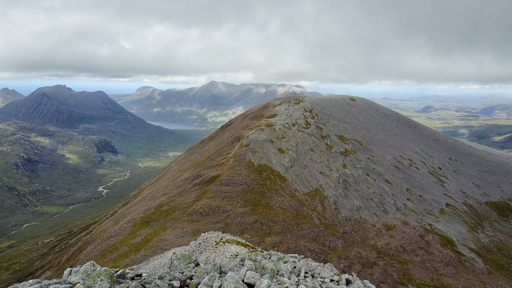
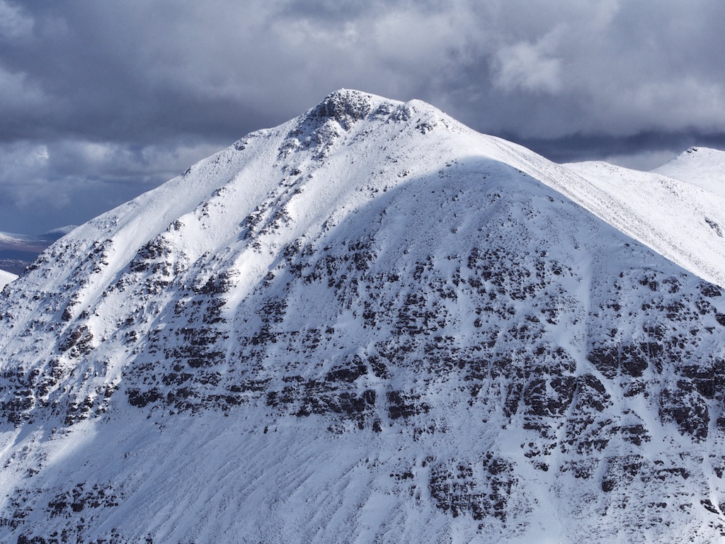
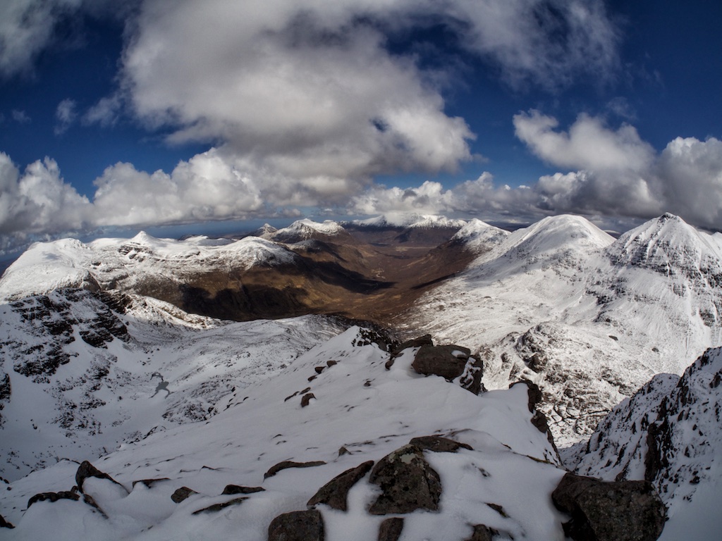
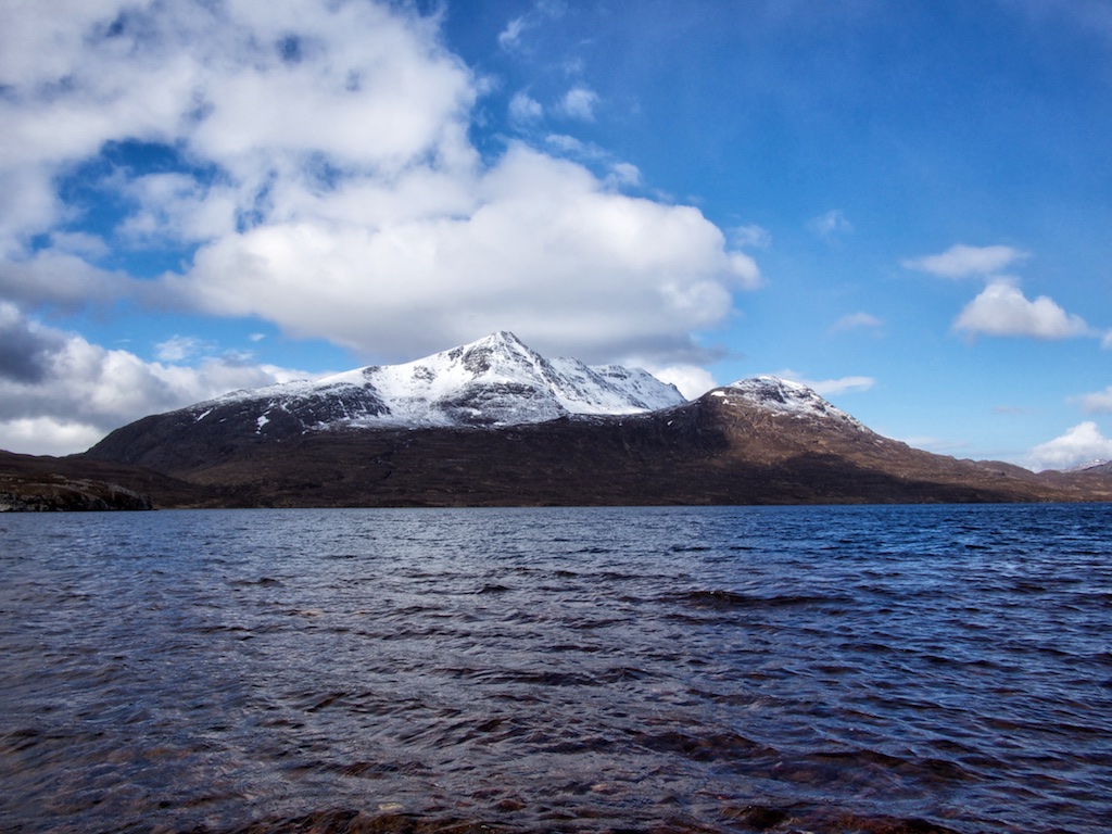
A’Mhaighdean

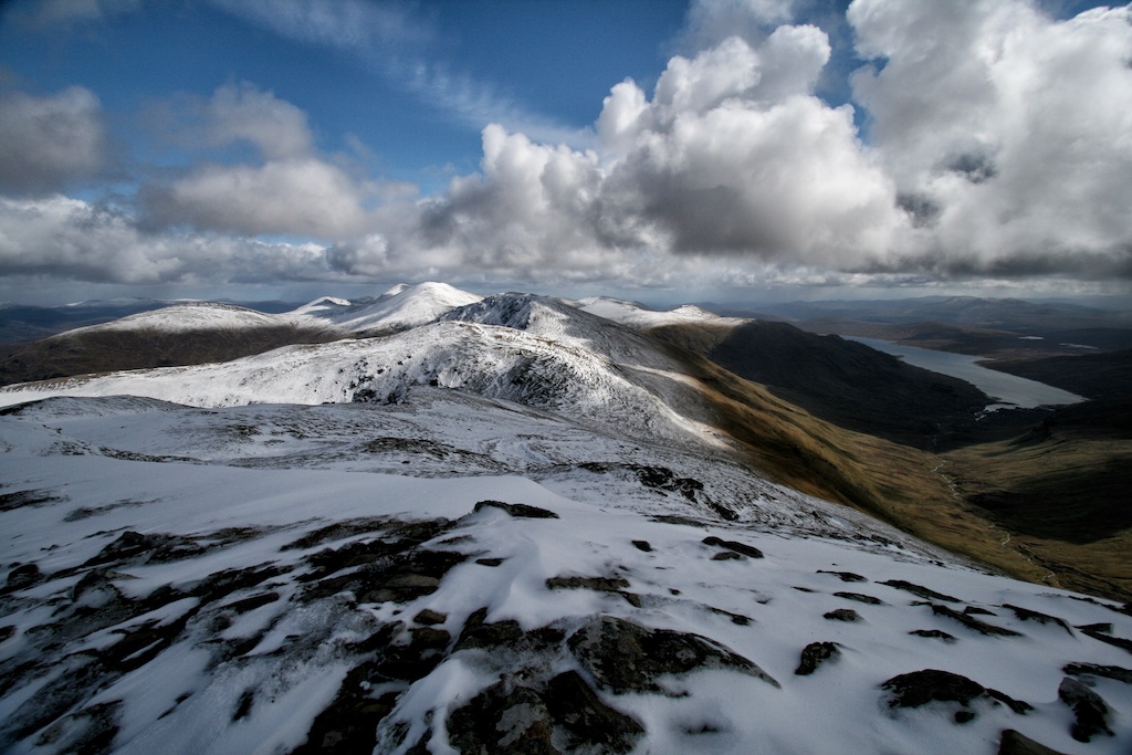
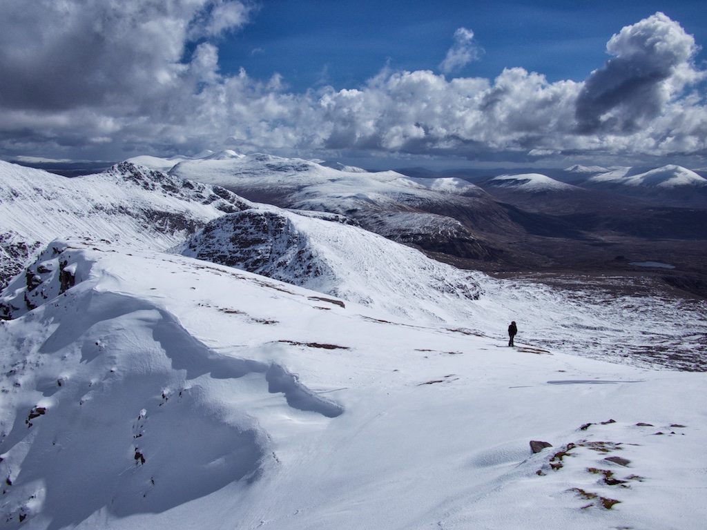
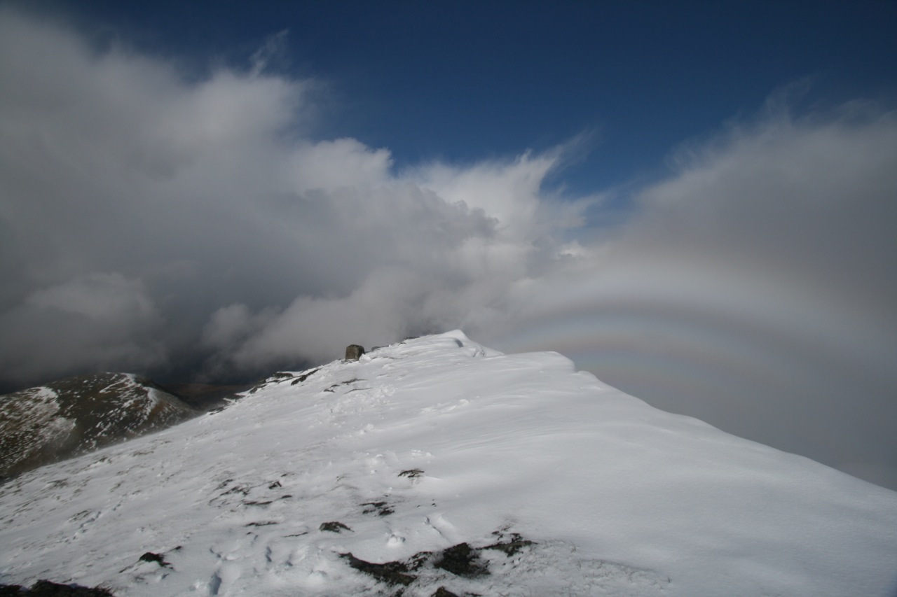
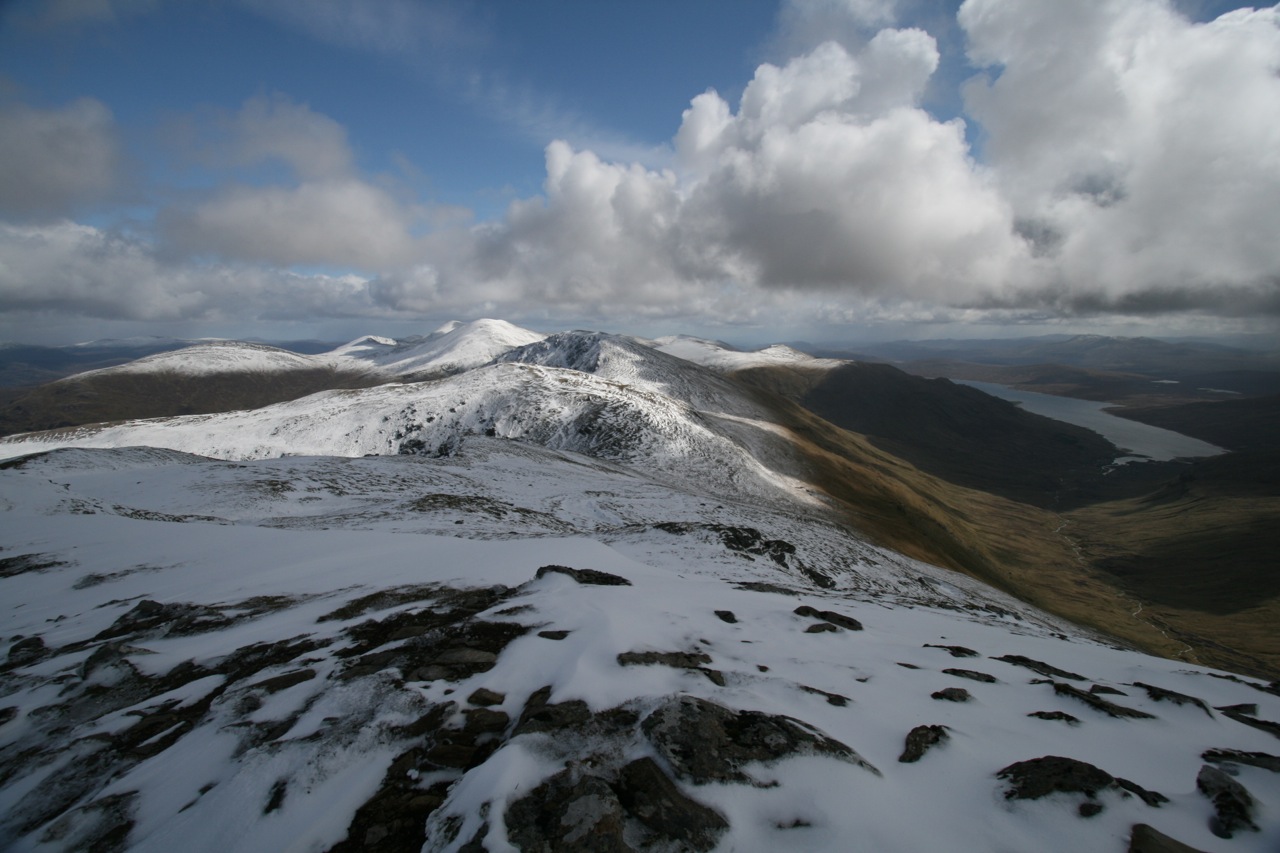
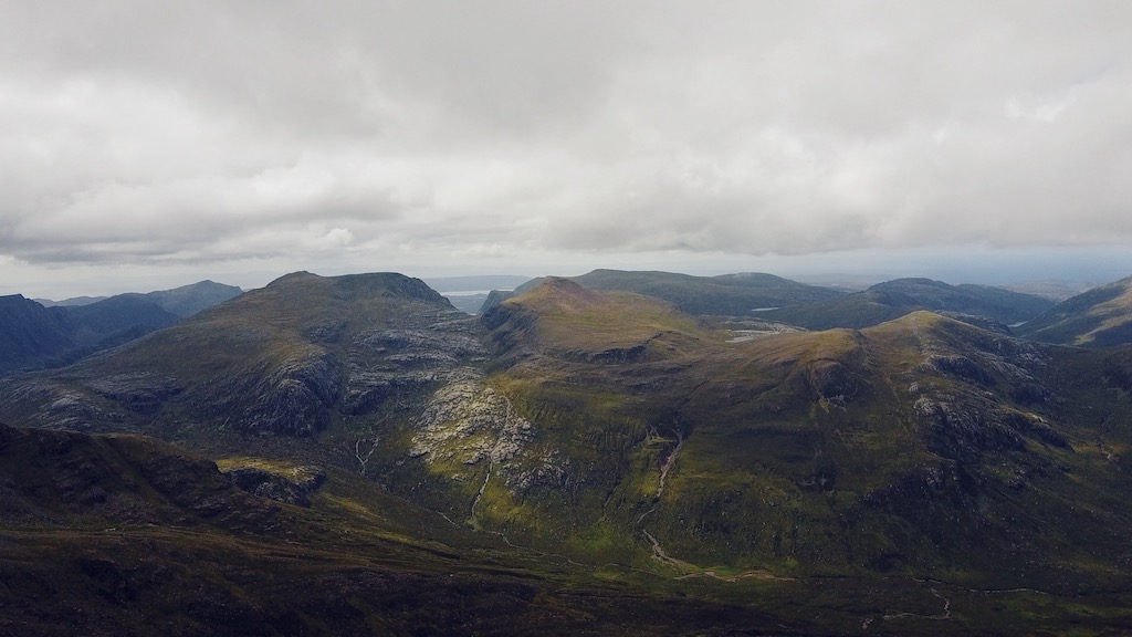
“The best laid plans of mice and men often go awry” as the text from a poem by Robert Burns says. The intention to bag our final Munros in June 2017 had come to nothing when less than perfect tour planning and even less perfect weather conditions had seen us do only six successful hill walks during the nine days we spent in Alba. The sub-optimal use of our time left us with a total of 280 Munros bagged and A’Mhaighdean and Ruadh Stac Mor still unticked when we left Scotland in early June. After a few days back in Germany it became clear to us that we did not want to wait until 2018 for the compleation to take place. We checked our calendars and decided that the weekend of 9 and 10 September 2017 would see us back in Scotland to return to the Fisherfield Forest.

So when we landed at EDI on Friday 8 September we were looking forward to our compleation weekend. Off we went in our cosy little Audi A1 towards the Northwest Highlands. We stacked up on provisions for the weekend and on gas for our stove in Aviemore. At around 5:45 p.m. we reached Corrie Hallie, slipped into hiking clothes and shouldered our really heavy rucksacks. At 6:10 p.m. we left the parking and embarked on the hike towards Shenavall Bothy some eight kilometres away in Strath na Sealga.

The going on the track was good but the heavy load slowed us down considerably. It took us about one hour to reach the cairn beside the Landrover track that marks the starting point of the footpath to Shenavall that skirts around the lower slopes of Sail Liath of An Teallach. Rain kept coming down on us. In fact the whole week had been very wet in the West. Soon after the highest point of the footpath had been passed the track dissolved into a muddy and boggy quagmire interspersed with the all so well-known slabs you can find all around An Teallach. We made tiresome … [Read More]

2019-01-04T09:40:55+01:00September 9th, 2017|2017, 2019 - 2010, Compleation, Loch Marree to Loch Broom|

Ruadh Stac Mor

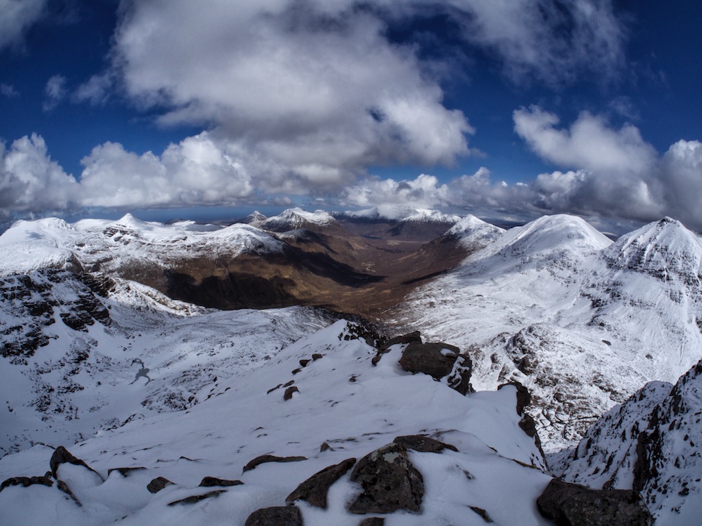
“The best laid plans of mice and men often go awry” as the text from a poem by Robert Burns says. The intention to bag our final Munros in June 2017 had come to nothing when less than perfect tour planning and even less perfect weather conditions had seen us do only six successful hill walks during the nine days we spent in Alba. The sub-optimal use of our time left us with a total of 280 Munros bagged and A’Mhaighdean and Ruadh Stac Mor still unticked when we left Scotland in early June. After a few days back in Germany it became clear to us that we did not want to wait until 2018 for the compleation to take place. We checked our calendars and decided that the weekend of 9 and 10 September 2017 would see us back in Scotland to return to the Fisherfield Forest.

So when we landed at EDI on Friday 8 September we were looking forward to our compleation weekend. Off we went in our cosy little Audi A1 towards the Northwest Highlands. We stacked up on provisions for the weekend and on gas for our stove in Aviemore. At around 5:45 p.m. we reached Corrie Hallie, slipped into hiking clothes and shouldered our really heavy rucksacks. At 6:10 p.m. we left the parking and embarked on the hike towards Shenavall Bothy some eight kilometres away in Strath na Sealga.

The going on the track was good but the heavy load slowed us down considerably. It took us about one hour to reach the cairn beside the Landrover track that marks the starting point of the footpath to Shenavall that skirts around the lower slopes of Sail Liath of An Teallach. Rain kept coming down on us. In fact the whole week had been very wet in the West. Soon after the highest point of the footpath had been passed the track dissolved into a muddy and boggy quagmire interspersed with the all so well-known slabs you can find all around An Teallach. We made tiresome … [Read More]
2020-09-23T16:38:43+02:00September 9th, 2017|2017, 2019 - 2010, Compleation, Loch Marree to Loch Broom|

Sgurr Ban

A repeat. At least most of the tour was a repeat of what we did two years ago when we climbed Beinn Tarsuinn. You see, the approach to these three Munros is definitely the longest bit of the tour and the really hilly part of the tour is not that long. Then, on the last day in April 2015, conditions had been quite wintry with slushy, powdery, compacted or icy snow underfoot depending on the aspect of the hill and the altitude you were at. That day we had not been able to add Mullach Coire Mhic Fhearchair and Sgurr Ban to our tick list.

On 7 June 2017 the conditions were different since there was no snow left anymore this late in spring. But again like 25 months ago we left our bicycles at the Heights of Kinlochewe. Again we climbed the Landover track beside the Abhainn Gleann na Muice and gained the open moor. Just as in 2015 the hike to Lochan Fhada offered great views of Slioch’s north-west aspects, of Beinn Tarsuinn, Meall Garbh and Mullach Coire Mhic Fhearchair. At least when the hills peeped out from the rain clouds.

But the ground was reasonably dry, even though there had been rain and some showers very recently, when we picked up the faint track leading through grass and over some slabby sections all the way from the shore of beautiful Lochan Fhada to the Bealach Odhar. We reached the bealach and sat down in the lee of some rocks to enjoy the views of A’Mhaighdean and Ruadh Stac Mòr in the sunshine. Then without further ado we continued along the bypass path below Meall Garbh and reached the foot of the steep south ridge of Mullach Coire Mhic Fhearchair.

This is quite some climb, the first 120m of which led over and around huge slabs and rocks made of red sandstone displaying some beautiful examples of woolsack weathering. Then the sandstone abruptly gave way to big white quartzite boulders through which and over which a faint track climbed all the … [Read More]

2017-09-19T14:14:56+02:00June 7th, 2017|2017, 2019 - 2010, Loch Marree to Loch Broom|

Mullach Coire Mhic Fhearchair

A repeat. At least most of the tour was a repeat of what we did two years ago when we climbed Beinn Tarsuinn. You see, the approach to these three Munros is definitely the longest bit of the tour and the really hilly part of the tour is not that long. Then, on the last day in April 2015, conditions had been quite wintry with slushy, powdery, compacted or icy snow underfoot depending on the aspect of the hill and the altitude you were at. That day we had not been able to add Mullach Coire Mhic Fhearchair and Sgurr Ban to our tick list.

On 7 June 2017 the conditions were different since there was no snow left anymore this late in spring. But again like 25 months ago we left our bicycles at the Heights of Kinlochewe. Again we climbed the Landover track beside the Abhainn Gleann na Muice and gained the open moor. Just as in 2015 the hike to Lochan Fhada offered great views of Slioch’s north-west aspects, of Beinn Tarsuinn, Meall Garbh and Mullach Coire Mhic Fhearchair. At least when the hills peeped out from the rain clouds.

But the ground was reasonably dry, even though there had been rain and some showers very recently, when we picked up the faint track leading through grass and over some slabby sections all the way from the shore of beautiful Lochan Fhada to the Bealach Odhar. We reached the bealach and sat down in the lee of some rocks to enjoy the views of A’Mhaighdean and Ruadh Stac Mòr in the sunshine. Then without further ado we continued along the bypass path below Meall Garbh and reached the foot of the steep south ridge of Mullach Coire Mhic Fhearchair.

This is quite some climb, the first 120m of which led over and around huge slabs and rocks made of red sandstone displaying some beautiful examples of woolsack weathering. Then the sandstone abruptly gave way to big white quartzite boulders through which and over which a faint track climbed all the … [Read More]

2020-09-23T16:04:35+02:00June 7th, 2017|2017, 2019 - 2010, Loch Marree to Loch Broom, looking forward to|

Beinn Tarsuinn

Finally. The Wilderness.

Splendid morning sunshine had greeted us when we left our house on the Coulin Estate to drive up to the road in Glen Torridon and further on to Kinlochewe and Incheril. At the parking in Incheril, we unloaded the bicycles, checked our equipment shouldered our rucksacks and set off in the direction of the heights of Kinlochewe. Cycling on this very flat and easy dirt road beside the Abhainn Bruachaig was a nice start to the long day we intended to spend in the Great Wilderness bagging Beinn Tarsuinn, Mullach Choire Mhic Fhearchair and Sgurr Ban. The Heights of Kinlochewe came into sight very soon. We left out bicycles at the spot where a rough Landrover track branches off to the left and steadily climbs the hillside. Vehicular access was barred anyway by a high gate.

Thus we continued the tour on foot. The hiking was pleasant and we gained height quickly enough. We walked high above the Abhainn Gleann na Muice and then switched over to the other side of the glen as the track crossed the Abhainn. The continuation saw us climbing up the in places steepish Landrover track to a point where the glen gives way to the flat moorland at between Gleann na Muice and Loachan Fhada. The weather being good this was a great hike since ahead the silhouettes of Slioch, A’Mhaighdean and Beinn Tarsuinn beckoned. The path is extremely well-maintained here there was no threat of wet feet or stumbling over rocks. The path passed a ruined building and after maybe six kilometres since we had crossed the Abhainn Gleann na Muice we finally reached fabled Lochan Fhada which indeed lies in a lonely, remote and forgotten stretch of Highland wilderness. An enchanting spot where the water of the Lochan lapped sandy “beaches”.

We spent a few minutes at the Lochan and then turned our attention to finding the path mentioned in the books which should get us started on our way to the Munros. We finally made out a faint path and started … [Read More]

2017-09-19T14:14:59+02:00April 30th, 2015|2015, 2019 - 2010, Loch Marree to Loch Broom|

Slioch

Residing in our marvellous house on the Coulin Estate meant that reaching the start of the hike involved only a fifteen minute drive to Kinlochewe. The day started out with good weather. At the parking in Incherill we changed into boots and packed our rucksacks in sunshine and cold air. Then everything was where it should be and we embarked on this long-anticipated hike along the north shore of Loch Maree towards Gleann Bianasdail. As can be read in many a description this six or seven kilometre walk first along the banks of the Kinlochewe River and then a little further on along the shore of the loch is very pleasant, a little undulating and much of the stretch can be covered walking on grass. It would have been a perfect day had we not encountered a succession of rather smelly carcasses of decomposing deer which littered the shoreline every now and then. Winter had been long and hard! All in all we saw eight or ten of them; and smelled one or two more. Yuck!

After 70 or 80 minutes we crossed the bridge over the Abhainn an Fhasaigh and immediately turned due north along the somewhat rough path that climbs grassy slopes interspersed with inclined and horizontal slabs of sandstone. The slope gets steeper the higher up you get. Sgurr Dubh boldly rises ahead to the left and we followed the path heading for the beallach between this hill and Meall Each. At about 500m the first specs of snow appeared and close to where the path levels off as it reaches the flat expanse of Coire Tuill Bhain it turned into a quagmire of slush and muck.

Checking out the two possible ways to the summit(s) from the corrie we soon decided that in these conditions of late winter and us carrying no ropes the more sensible approach seemed to be via Sgurr an Tuill Bhain and its south-east ridge which throws one arm down towards the corrie floor. We crossed the corrie where deep snow covered the heather … [Read More]

2017-09-19T14:14:59+02:00April 27th, 2015|2015, 2019 - 2010, Loch Marree to Loch Broom|

Meall Gorm

May 2009 was the wettest hiking season in Scotland that I ever had the privilege of experiencing. This tour proved to be no different from the average squishy, slithering, sleety, soaking standard. Having set our mind on ticking off the four eastern Munros of the Fannaichs we approached the hills from the parking on the A835 between Loch Droma and Loch Glascarnoch which is at the bridge over the Abhainn an Torrain Duibh.

On the left bank of the Abhainn we followed the bends of the burn which carried a lot (!) of water indeed. The going was good and the path was sort of dry. Soon we reached the confluence of the Allt an Loch Sgeirich and the Abhainn a’Ghiubhais Li, crossed the first and continued our tramp along the left bank of the latter. We did not (!) use the bridge but climbed further on the deteriorating path. Higher up the burn we managed to cross it and headed over heathery terrain up the gentle slopes of Meallan Bhuide. Well, close to the rounded summit of this hillock the rain caught us and ended the short intermezzo of two hours walking without water coming down (my feet were soaked anyway, so hey, what difference does it make?). Loch Gorm came into view. It nestled nicely between the crags of Meall Gorm and the corrie headwall which lay ahead. We climbed into the hanging corrie above the loch, veered in a south easterly direction and came to the summit slopes of An Coileachan. At the summit sleet was coming down so the short rest was rather uncomfortable.

From this first Munro we turned north-west, crossed the area at the head of the corrie of ascent and climbed the grassy slopes, interspersed with rocks, which lead to the very flat ridge of Meall Gorm. The wind now caught us, things became considerably colder and the visibility dropped to 50 meters. At a stone shelter shortly before the summit we added an additional layer of warmer fleece in driving rain. … [Read More]

2017-09-19T14:17:05+02:00May 6th, 2009|2009, 2009 - 2000, Loch Marree to Loch Broom|

An Coileachan

May 2009 was the wettest hiking season in Scotland that I ever had the privilege of experiencing. This tour proved to be no different from the average squishy, slithering, sleety, soaking standard. Having set our mind on ticking off the four eastern Munros of the Fannaichs we approached the hills from the parking on the A835 between Loch Droma and Loch Glascarnoch which is at the bridge over the Abhainn an Torrain Duibh.

On the left bank of the Abhainn we followed the bends of the burn which carried a lot (!) of water indeed. The going was good and the path was sort of dry. Soon we reached the confluence of the Allt an Loch Sgeirich and the Abhainn a’Ghiubhais Li, crossed the first and continued our tramp along the left bank of the latter. We did not (!) use the bridge but climbed further on the deteriorating path. Higher up the burn we managed to cross it and headed over heathery terrain up the gentle slopes of Meallan Bhuide. Well, close to the rounded summit of this hillock the rain caught us and ended the short intermezzo of two hours walking without water coming down (my feet were soaked anyway, so hey, what difference does it make?). Loch Gorm came into view. It nestled nicely between the crags of Meall Gorm and the corrie headwall which lay ahead. We climbed into the hanging corrie above the loch, veered in a south easterly direction and came to the summit slopes of An Coileachan. At the summit sleet was coming down so the short rest was rather uncomfortable. From this first Munro we turned north-west, crossed the area at the head of the corrie of ascent and climbed the grassy slopes, interspersed with rocks, which lead to the very flat ridge of Meall Gorm. The wind now caught us, things became considerably colder and the visibility dropped to 50 meters.

At a stone shelter shortly before the summit we added an additional layer of warmer fleece in driving … [Read More]

2019-08-23T03:51:19+02:00May 6th, 2009|2009, 2009 - 2000, Loch Marree to Loch Broom|

Sgurr nan Clach Geala

2009 I had always looked forward to climbing A’Chailleach and Sgurr Breac one day since they form a compact and attractive group of two Munros with steep-sided ridges jutting out to the north. So it was with anticipation in my heart that Frank and I started the hike at the parking on the A832 where the landrover track to Loch a’Bhraoin starts.

From our last walk in this area when we climbed Sgurr nan Each we still had the recollection of a very soggy path which leads from the ruin on the lochside to the bridge over the outflow of Loch a’Bhraoin. However, this had been replaced by a well engineered path through the pine plantation and in no time we had crossed the bridge over the Abhainn Cuileig and started the climb of the steep north end of Druim RÈidh. Higher up the grass was dotted with boulders, outcrops and even some small trees in protected spots. Progress was made very nicely and soon we reached the much flatter part of the ridge at 550m. This was all very pleasant since the sun was shining and no rain was falling.

We continued southwards and after a kilometre the ridge became more defined. Nice views of the crags of Sgurr Breac, the gentle, curving ridges from Tomain Coinich to both Munros and of Loch Toll an Lochain were the reward for our efforts. Snow covered the ground in many places once we crossed the 750m contour. Then the summit of Tomain Coinich was gained, we turned west and descended a few dozen metres to the beallach where the steepish ridge leading to A’Chailleach begins. From the beallach to the summit the whole ridge was covered in snow – frozen in some places, soft in others.

At the summit cairn the wind was strong and it felt quite cold after a while. The views of Fisherfield and An Teallach were nice, though. So after a few minutes of watching the scenery we retraced our steps to the beallach where we had … [Read More]

2020-10-12T09:27:59+02:00May 3rd, 2009|2000, 2009, 2009 - 2000, Loch Marree to Loch Broom|

Sgurr Breac

I had always looked forward to climbing A’Chailleach and Sgurr Breac one day since they form a compact and attractive group of two Munros with steep-sided ridges jutting out to the north. So it was with anticipation in my heart that Frank and I started the hike at the parking on the A832 where the landrover track to Loch a’Bhraoin starts.

From our last walk in this area when we climbed Sgurr nan Each we still had the recollection of a very soggy path which leads from the ruin on the lochside to the bridge over the outflow of Loch a’Bhraoin. However, this had been replaced by a well engineered path through the pine plantation and in no time we had crossed the bridge over the Abhainn Cuileig and started the climb of the steep north end of Druim Rèidh. Higher up the grass was dotted with boulders, outcrops and even some small trees in protected spots. Progress was made very nicely and soon we reached the much flatter part of the ridge at 550m. This was all very pleasant since the sun was shining and no rain was falling.

We continued southwards and after a kilometre the ridge became more defined. Nice views of the crags of Sgurr Breac, the gentle, curving ridges from Tomain Coinich to both Munros and of Loch Toll an Lochain were the reward for our efforts. Snow covered the ground in many places once we crossed the 750m contour. Then the summit of Tomain Coinich was gained, we turned west and descended a few dozen metres to the beallach where the steepish ridge leading to A’Chailleach begins. From the beallach to the summit the whole ridge was covered in snow – frozen in some places, soft in others. At the summit cairn the wind was strong and it felt quite cold after a while. The views of Fisherfield and An Teallach were nice, though. So after a few minutes of watching the scenery we retraced our steps to the beallach where we had a … [Read More]

2021-12-19T03:50:28+01:00May 3rd, 2009|2009, 2009 - 2000, Loch Marree to Loch Broom|
Go to Top