Carn na Caim
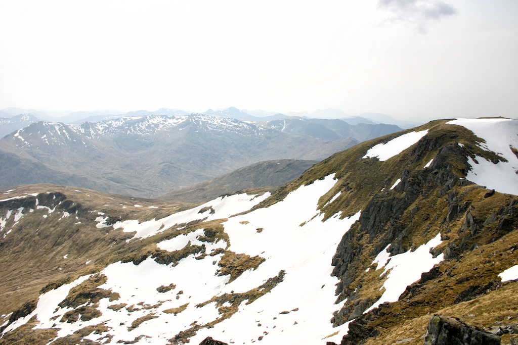
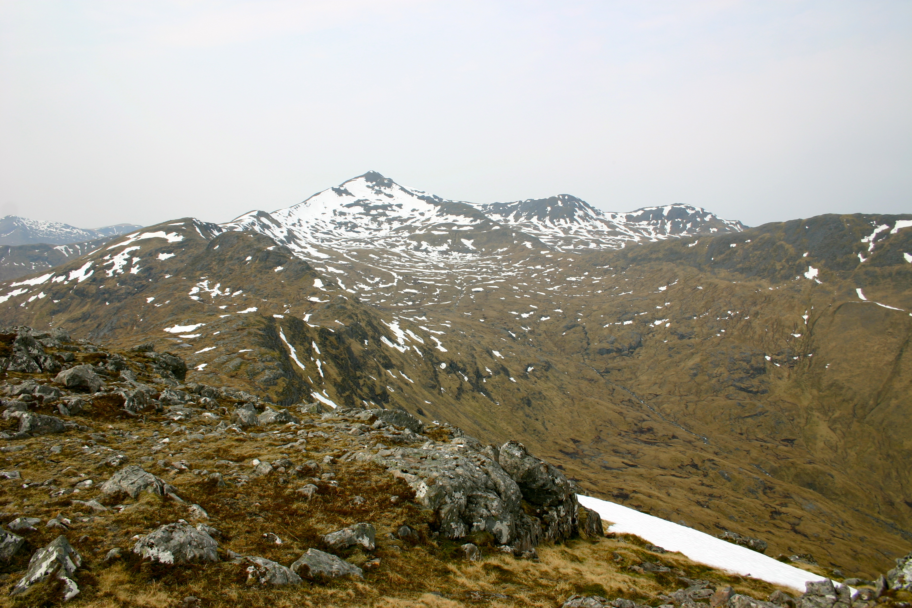
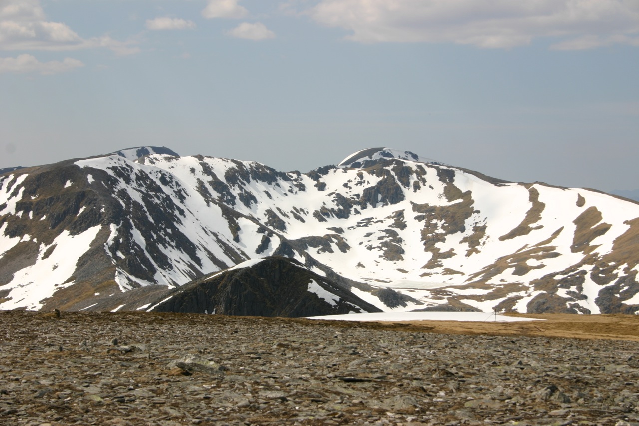
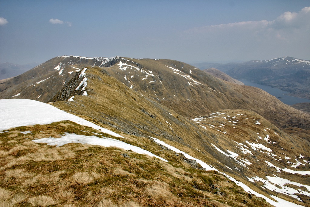
The last two munros of the May 2006 hill-walking holiday were A’Bhuidheanach Bheag and Carn na Caim. Conveniently situated close to the A9 we chose these two to easily bag another pair of hills on our way back south. We reached the foot of the hills at the same time as another ten people who – as it soon transpired – participated in a guided walk which formed part of the Aviemore hill-walking Festival 2006. We used the landrover track which leads up the hill in a southeasterly direction. After some bends it heads up fairly steeply until it reaches the site of a disused quarry. The white quartzite found here no doubt was used for covering garden paths and patios. Soon the col between the two munros was gained and we turned north to bag Carn na Caim first. There is a distinct scar in the broad grassy and mossy ridge which allows the hill-waker to find the hill’s summit cairn without any difficulty even in the thickest of fogs. The wind was lively and coming from the north it gave us red noses for refreshment on this otherwise uninspiring tramp. The views to the east over undulating brown hills were dull and we were glad to reach the summit and pause a little. Then we turned on our heels and headed back to the col from where we followed the track in a southerly direction. At A’Bhuidheanach we dropped to another col from which the Allt Coire Chùirn flows west. On the other side we climbed the final 100m and walked up to the cairn of A’Bhuidheanach Bheag. Another, longer pause with considerably better views than from Carn na Caim – especially of the hills in the south and west – followed. Finally we retraced our steps to the col between the two munros, walked down the landrover track by the quarry and arrived back at the starting point of the hike after 4 hours and 30 minutes. An easy last outing of what had been a most … [Read More]